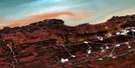
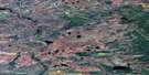
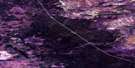
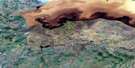
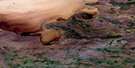
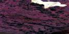
Breynat Point Satellite Image Map
Download Free Aerial Photo 085B15 at 1:50,000 scale
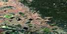
Breynat Point Satellite Imagery
To view this satellite map, mouse over the air photo on the right.
You can also download this satellite image map for free:
085B15 Breynat Point high-resolution satellite image map.
Maps for the Breynat Point aerial map sheet 085B15 at 1:50,000 scale are also available in these versions:
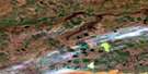
Breynat Point Surrounding Area Aerial Photo Maps
 |
 |
 |
 |
 |
 |
 |
 |
 |
 |
 |
 |
 |
 |
 |
 |
© Department of Natural Resources Canada. All rights reserved.
Breynat Point Gazetteer
The following places can be found on satellite image map 085B15 Breynat Point:
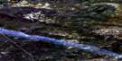
Breynat Point Satellite Image: Bays
Breynat BightPresquile Cove
Presqu'ile Cove
Sulphur Cove
Breynat Point Satellite Image: Capes
Breynat PointPresqu'ile Point
Sulphur Point
Breynat Point Satellite Image: Islands
Breynat IsletSulpher Islet
Breynat Point Satellite Image: Lakes
Grand lac des EsclavesGreat Slave Lake
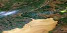
Breynat Point Satellite Image: Rapids
Mellor RapidsBreynat Point Satellite Image: Rivers
Buffalo River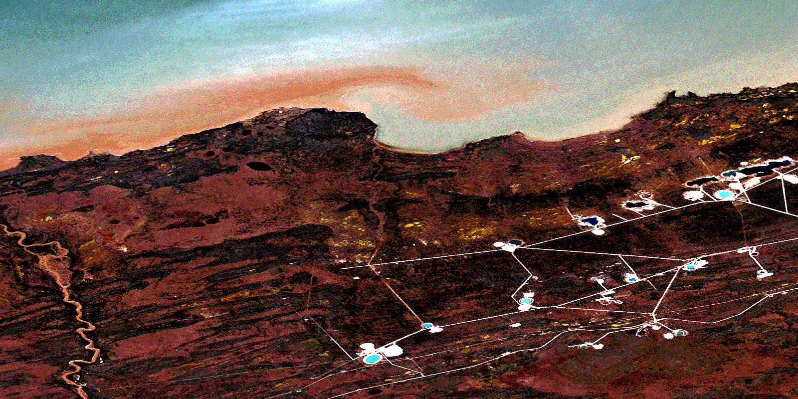
© Department of Natural Resources Canada. All rights reserved.
085B Related Maps:
085B Buffalo Lake085B01 Skillet Lake
085B02 No Title
085B03 Tourangeau Creek
085B04 No Title
085B05 Deschaine Lake
085B06 No Title
085B07 No Title
085B08 Needle Lake
085B09 Swampy Lakes
085B10 Buffalo River
085B11 Birch
085B12 Sandy River
085B13 Hay River
085B14 Mackenzie Rock
085B15 Breynat Point
085B16 Ile Du Mort
