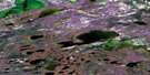
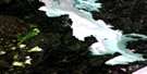
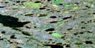
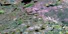
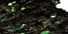
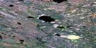
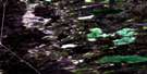
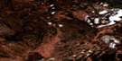
Bedford Point Satellite Image Map
Download Free Aerial Photo 085K16 at 1:50,000 scale
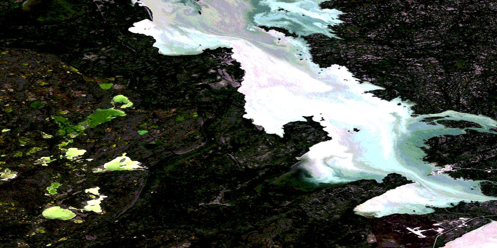
Bedford Point Satellite Imagery
To view this satellite map, mouse over the air photo on the right.
You can also download this satellite image map for free:
085K16 Bedford Point high-resolution satellite image map.
Maps for the Bedford Point aerial map sheet 085K16 at 1:50,000 scale are also available in these versions:
Bedford Point Surrounding Area Aerial Photo Maps
 |
 |
 |
 |
 |
 |
 |
 |
 |
 |
 |
 |
 |
 |
 |
 |
© Department of Natural Resources Canada. All rights reserved.
Bedford Point Gazetteer
The following places can be found on satellite image map 085K16 Bedford Point:
Bedford Point Satellite Image: Bays
North ArmPeter Baker Bay
Bedford Point Satellite Image: Capes
Bedford PointBedford Point Satellite Image: Channels
Frank ChannelRussell Channel
Bedford Point Satellite Image: Hamlets
Behchok{35}Rae-Edzo
Bedford Point Satellite Image: Lakes
Grand lac des EsclavesGreat Slave Lake
James Lake
Marian Lake
Bedford Point Satellite Image: Rivers
Duport RiverBedford Point Satellite Image: Unincorporated areas
EdzoRae
© Department of Natural Resources Canada. All rights reserved.
