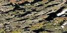
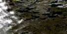
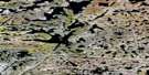
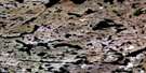
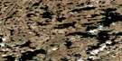
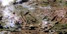
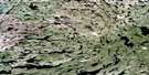
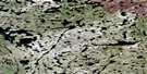
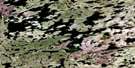
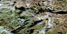
Thistlethwaite Lake Satellite Image Map
Download Free Aerial Photo 085P04 at 1:50,000 scale
Thistlethwaite Lake Satellite Imagery
To view this satellite map, mouse over the air photo on the right.
You can also download this satellite image map for free:
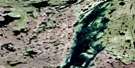
085P04 Thistlethwaite Lake high-resolution satellite image map.
Maps for the Thistlethwaite Lake aerial map sheet 085P04 at 1:50,000 scale are also available in these versions:
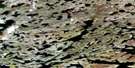
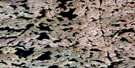
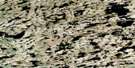
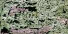
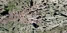
Thistlethwaite Lake Surrounding Area Aerial Photo Maps
 |
 |
 |
 |
 |
 |
 |
 |
 |
 |
 |
 |
 |
 |
 |
 |
© Department of Natural Resources Canada. All rights reserved.
Thistlethwaite Lake Gazetteer
The following places can be found on satellite image map 085P04 Thistlethwaite Lake:
Thistlethwaite Lake Satellite Image: Lakes
Arno LakeBrien Lake
Caribou Lake
Criss Lake
Cross Lake
Eclipse Lake
Giauque Lake
Hart Lake
Lucky Lake
Lux Lake
Maguire Lake
Narrow Lake
Nicholas Lake
Peaceful Lake
Piloski Lake
Shona Lake
Thistlethwaite Lake
Wagenitz Lake
Wallie Lake
Winter Lake
Thistlethwaite Lake Satellite Image: Rivers
McCrea RiverNicholson River
Wecho River
Thistlethwaite Lake Satellite Image: Unincorporated areas
Discovery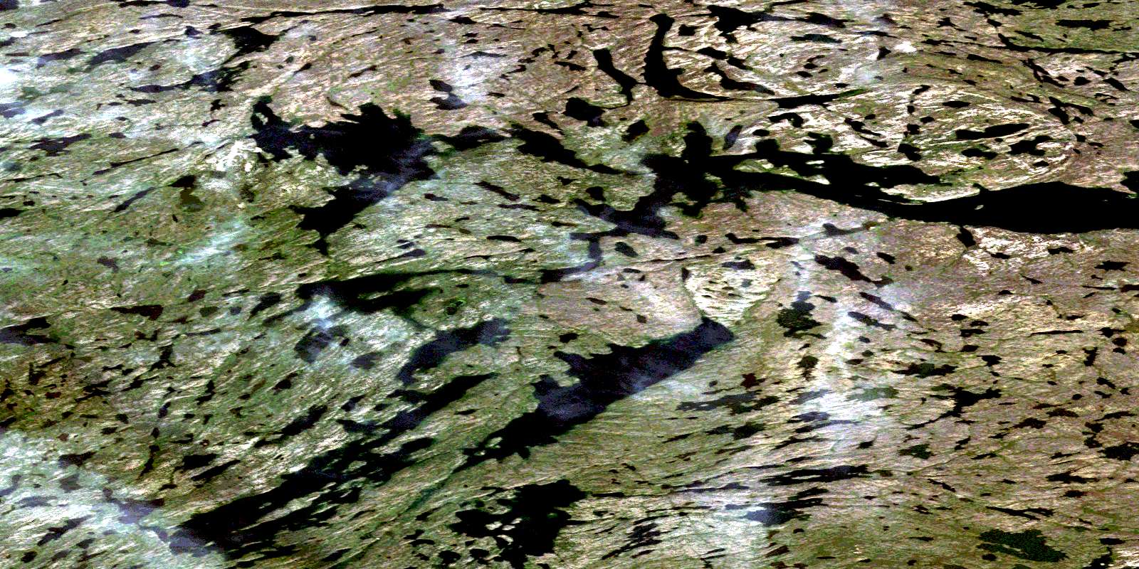
© Department of Natural Resources Canada. All rights reserved.
085P Related Maps:
085P Upper Carp Lake085P01 Spencer Lake
085P02 Agassiz Lake
085P03 Gordon Lake
085P04 Thistlethwaite Lake
085P05 Nardin Lake
085P06 Muir Lake
085P07 Denis Lake
085P08 Beniah Lake
085P09 Lockhart Lake
085P10 Zipper Lake
085P11 Thetis Lake
085P12 Frodsham Lake
085P13 Wecho Lake
085P14 Squalus Lake
085P15 Sharples Lake
085P16 Rupp Lake
