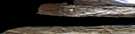
Cape Frederick Satellite Image Map
Download Free Aerial Photo 088G13 at 1:50,000 scale
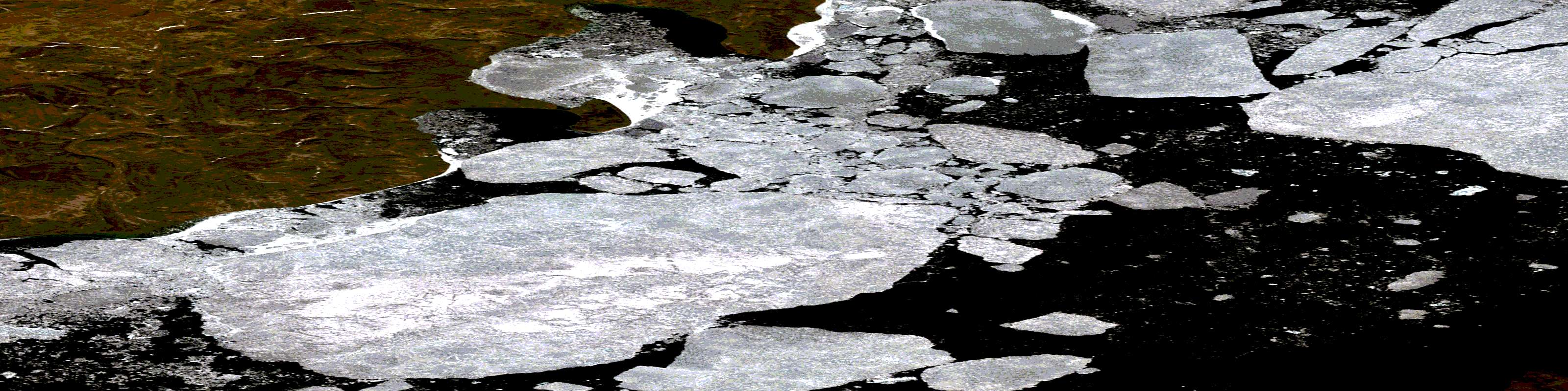
Cape Frederick Satellite Imagery
To view this satellite map, mouse over the air photo on the right.
You can also download this satellite image map for free:
088G13 Cape Frederick high-resolution satellite image map.
Maps for the Cape Frederick aerial map sheet 088G13 at 1:50,000 scale are also available in these versions:
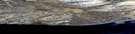
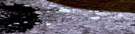
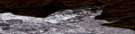
Cape Frederick Surrounding Area Aerial Photo Maps
 |
 |
||
 |
|||
 |
 |
||
 |
 |
© Department of Natural Resources Canada. All rights reserved.
Cape Frederick Gazetteer
The following places can be found on satellite image map 088G13 Cape Frederick:
Cape Frederick Satellite Image: Bays
Carter BayCape Frederick Satellite Image: Capes
Cape FrederickDames Point
Cape Frederick Satellite Image: Channels
Crozier ChannelM'Clure Strait
Cape Frederick Satellite Image: Islands
Eglinton IslandÎles de la Reine-Élisabeth
Parry Islands
Prince Patrick Island
Queen Elizabeth Islands
© Department of Natural Resources Canada. All rights reserved.
