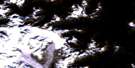
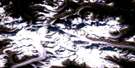
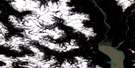
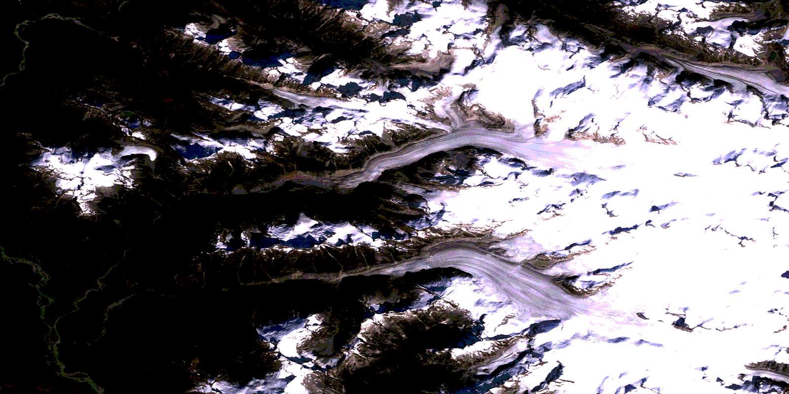
Homathko Icefield Satellite Image Map
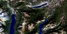
Download Free Aerial Photo 092N02 at 1:50,000 scale
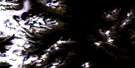
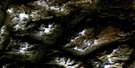
Homathko Icefield Satellite Imagery
To view this satellite map, mouse over the air photo on the right.
You can also download this satellite image map for free:
092N02 Homathko Icefield high-resolution satellite image map.
Maps for the Homathko Icefield aerial map sheet 092N02 at 1:50,000 scale are also available in these versions:
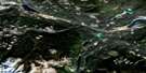
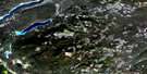
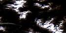
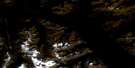
Homathko Icefield Surrounding Area Aerial Photo Maps
 |
 |
 |
 |
 |
 |
 |
 |
 |
 |
 |
 |
 |
 |
 |
 |
© Department of Natural Resources Canada. All rights reserved.
Homathko Icefield Gazetteer
The following places can be found on satellite image map 092N02 Homathko Icefield:
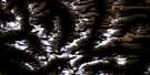
Homathko Icefield Satellite Image: Glaciers
Cambridge GlacierGallery Glacier
Gargoyle Glacier
Heakamie Glacier
Homathko Icefield
Homathko Snowfield
Jewakwa Glacier
Klattasine Glacier
Queen Bess Glacier
West Grenville Glacier
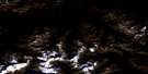
Homathko Icefield Satellite Image: Mountains
Burghley PeakCambridge Peak
Chaîne Côtière
Chisel Peak
Coast Mountains
Diadem Peak
Gallery Peak
Gargoyle Peak
Heakamie Mountain
Howard Peak
Janus Peak
Jewakwa Mountain
Klattasine Ridge
Landmark Mountain
Marble Rib Mountain
Mist Peak
Mount Heakamie
Mount Jewakwa
Mount Klattasine
Mount Teaquahan
Nunatak Peak
Pacific Ranges
Pelorus Peak
Plateau Peak
Sundial Peak
Teaquahan Mountain
Whitemantle Range
Homathko Icefield Satellite Image: Major municipal/district area - major agglomerations
Regional District of Comox-StrathconaHomathko Icefield Satellite Image: Rivers
Coola CreekDoran Creek
Heakamie River
Homathko River
Jewakwa River
Klattasine Creek
Smith Creek
Teaquahan Creek
Teaquahan River
Homathko Icefield Satellite Image: Valleys
Sasquatch PassWaddington Canyon
© Department of Natural Resources Canada. All rights reserved.
092N Related Maps:
092N Mount Waddington092N01 Chilko Mountain
092N02 Homathko Icefield
092N03 Whitemantle Creek
092N04 Sim River
092N05 Klinaklini Glacier
092N06 Mount Waddington
092N07 Mount Queen Bess
092N08 Stikelan Creek
092N09 Tatlayoko Lake
092N10 Razorback Mountain
092N11 Siva Glacier
092N12 Trophy Lake
092N13 Knot Lakes
092N14 Bussel Creek
092N15 Tatla Lake
092N16 Eagle Lake
