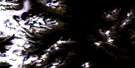
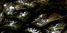
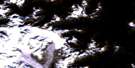
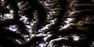
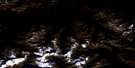
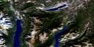
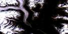
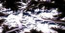
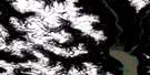
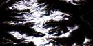
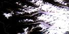
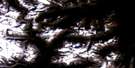
Stikelan Creek Satellite Image Map
Download Free Aerial Photo 092N08 at 1:50,000 scale
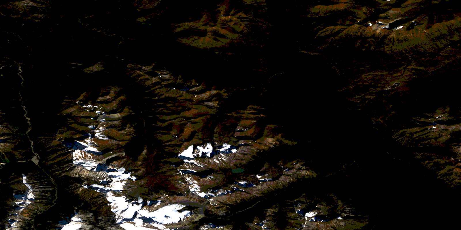
Stikelan Creek Satellite Imagery
To view this satellite map, mouse over the air photo on the right.
You can also download this satellite image map for free:
092N08 Stikelan Creek high-resolution satellite image map.
Maps for the Stikelan Creek aerial map sheet 092N08 at 1:50,000 scale are also available in these versions:
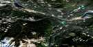
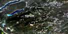
Stikelan Creek Surrounding Area Aerial Photo Maps
 |
 |
 |
 |
 |
 |
 |
 |
 |
 |
 |
 |
 |
 |
 |
 |
© Department of Natural Resources Canada. All rights reserved.
Stikelan Creek Gazetteer
The following places can be found on satellite image map 092N08 Stikelan Creek:
Stikelan Creek Satellite Image: Capes
Canoe PointStikelan Point
Stikelan Creek Satellite Image: Glaciers
Hamilton GlacierStikelan Glacier
Tredcroft Glacier
Stikelan Creek Satellite Image: Indian Reserves
Chilco Lake Indian Reserve 1Chilco Lake Indian Reserve 1A
Garden Indian Reserve 2
Garden Indian Reserve 2A
Lezbye Indian Reserve 6
Réserve indienne Chilco Lake 1
Réserve indienne Chilco Lake 1A
Réserve indienne Garden 2
Réserve indienne Garden 2A
Réserve indienne Lezbye 6
Stikelan Creek Satellite Image: Islands
Bateman IslandDuff Island
Stikelan Creek Satellite Image: Lakes
Big LagoonCheshi Lake
Chilko Lake
Girdwood Lake
Little Lagoon
Tatlayoko Lake
Stikelan Creek Satellite Image: Mountains
Anagazander MountainBoatswain Mountain
Capital Group
Capital Peak
Chaîne Côtière
Chilcotin Ranges
Coast Mountains
Huckleberry Mountain
Liberated Group
Mount Bracewell
Mount Coleman
Mount Dartmouth
Mount Derick
Mount Edwards
Mount Howard-Stowe
Mount MacAdams
Mount Macphail
Mount McClung
Mount McKinney
Mount Moore
Mount Murphy
Mount Nemaia
Mount Parlby
Mount Whitton
Niut Range
Pacific Ranges
Tickletoeteaser Tower
Why Not Mountain
Stikelan Creek Satellite Image: Major municipal/district area - major agglomerations
Cariboo Regional DistrictRegional District of Comox-Strathcona
Stikelan Creek Satellite Image: Conservation areas
T{26}'il{27}os ParkTs'yl-os Park
Stikelan Creek Satellite Image: Rivers
Cheshi CreekCopper Creek
Girdwood Creek
Gulliby Creek
Homathko River
Klokon Creek
Nemaia Creek
Nostetuko River
Ottarasko Creek
Ottarasko River
Robertson Creek
Stikelan Creek
Tredcroft Creek
Stikelan Creek Satellite Image: Valleys
Nemaia ValleyStikelan Pass
© Department of Natural Resources Canada. All rights reserved.
092N Related Maps:
092N Mount Waddington092N01 Chilko Mountain
092N02 Homathko Icefield
092N03 Whitemantle Creek
092N04 Sim River
092N05 Klinaklini Glacier
092N06 Mount Waddington
092N07 Mount Queen Bess
092N08 Stikelan Creek
092N09 Tatlayoko Lake
092N10 Razorback Mountain
092N11 Siva Glacier
092N12 Trophy Lake
092N13 Knot Lakes
092N14 Bussel Creek
092N15 Tatla Lake
092N16 Eagle Lake
