Missinka River Satellite Image Map
Download Free Aerial Photo 093I12 at 1:50,000 scale
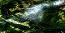
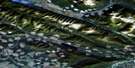
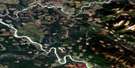
Missinka River Satellite Imagery
To view this satellite map, mouse over the air photo on the right.
You can also download this satellite image map for free:
093I12 Missinka River high-resolution satellite image map.
Maps for the Missinka River aerial map sheet 093I12 at 1:50,000 scale are also available in these versions:
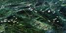
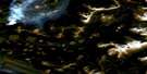
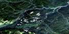
Missinka River Surrounding Area Aerial Photo Maps
 |
 |
 |
 |
 |
 |
 |
 |
 |
 |
 |
 |
 |
 |
 |
 |
© Department of Natural Resources Canada. All rights reserved.
Missinka River Gazetteer
The following places can be found on satellite image map 093I12 Missinka River:
Missinka River Satellite Image: Indian Reserves
Fountain Indian Reserve 11Missinka River Satellite Image: Lakes
Tlooki LakeMissinka River Satellite Image: Mountains
Gable MountainHart Ranges
Misinchinka Ranges
Montagnes Rocheuses
Mount Abbl
Mount Sheba
Rocky Mountains
Tsahunga Mountain
Missinka River Satellite Image: Major municipal/district area - major agglomerations
Peace River Regional DistrictRegional District of Fraser-Fort George
Missinka River Satellite Image: Rivers
Hominka RiverParsnip River
Missinka River Satellite Image: Valleys
Rocky Mountain Trench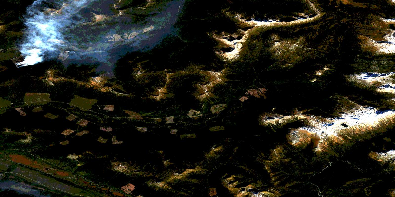
© Department of Natural Resources Canada. All rights reserved.
093I Related Maps:
093I Monkman Pass093I01 Jarvis Lakes
093I02 Ovington Creek
093I03 Gleason Creek
093I04 Sinclair Mills
093I05 Otter Creek
093I06 Spakwaniko Creek
093I07 Wapiti Pass
093I08 Belcourt Lake
093I09 Belcourt Creek
093I10 Wapiti Lake
093I11 Monkman Pass
093I12 Missinka River
093I13 Sentinel Peak
093I14 Kinuseo Falls
093I15 Kinuseo Creek
093I16 South Redwillow River
