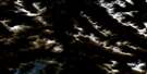
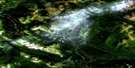
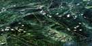
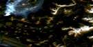
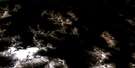
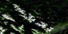
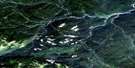
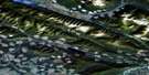
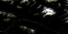
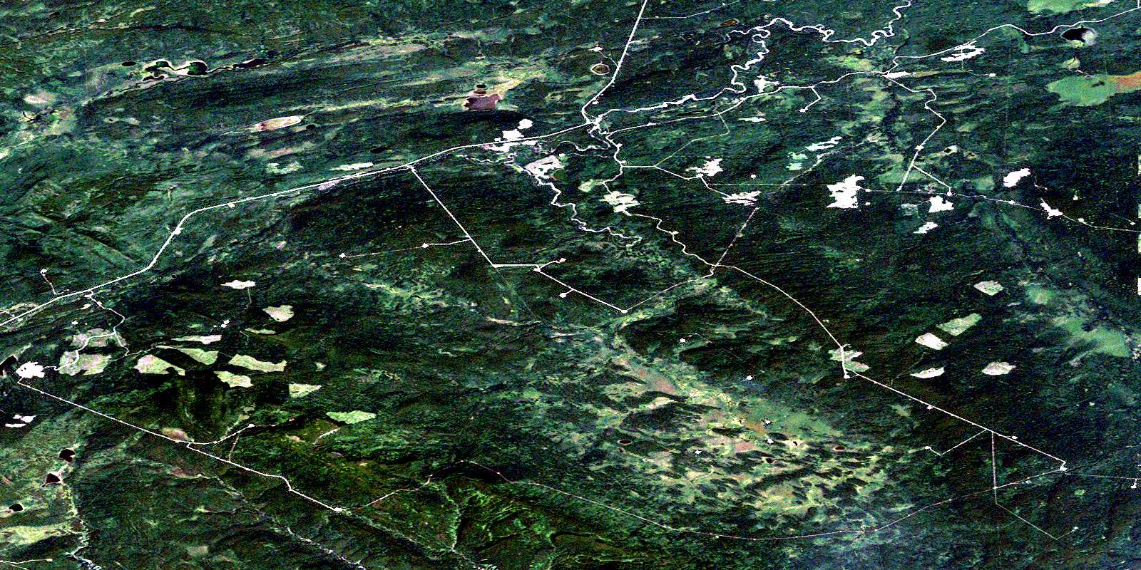
South Redwillow River Satellite Image Map
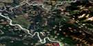
Download Free Aerial Photo 093I16 at 1:50,000 scale
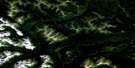
South Redwillow River Satellite Imagery
To view this satellite map, mouse over the air photo on the right.
You can also download this satellite image map for free:
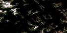
093I16 South Redwillow River high-resolution satellite image map.
Maps for the South Redwillow River aerial map sheet 093I16 at 1:50,000 scale are also available in these versions:
South Redwillow River Surrounding Area Aerial Photo Maps
 |
 |
 |
 |
 |
 |
 |
 |
 |
 |
 |
 |
 |
 |
 |
 |
© Department of Natural Resources Canada. All rights reserved.
South Redwillow River Gazetteer
The following places can be found on satellite image map 093I16 South Redwillow River:
South Redwillow River Satellite Image: Lakes
Calliou LakeChain Lakes
Dennice Lake
Gunn Lake
Iris Lake
Kirkland Lake
Little Prairie Lakes
Long Lake
Quicksand Lake
Rat Lake
South Redwillow River Satellite Image: Mountains
Lone MountainRocky Mountain Foothills
Squaw Mountain
South Redwillow River Satellite Image: Rivers
Calliou CreekHiding Creek
Lattice Creek
North Thunder Creek
Redwillow River
South Redwillow River
Thunder Creek
© Department of Natural Resources Canada. All rights reserved.
093I Related Maps:
093I Monkman Pass093I01 Jarvis Lakes
093I02 Ovington Creek
093I03 Gleason Creek
093I04 Sinclair Mills
093I05 Otter Creek
093I06 Spakwaniko Creek
093I07 Wapiti Pass
093I08 Belcourt Lake
093I09 Belcourt Creek
093I10 Wapiti Lake
093I11 Monkman Pass
093I12 Missinka River
093I13 Sentinel Peak
093I14 Kinuseo Falls
093I15 Kinuseo Creek
093I16 South Redwillow River
