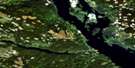
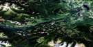
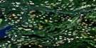
Fulton Lake Satellite Image Map
Download Free Aerial Photo 093L16 at 1:50,000 scale
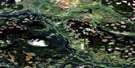
Fulton Lake Satellite Imagery
To view this satellite map, mouse over the air photo on the right.
You can also download this satellite image map for free:
093L16 Fulton Lake high-resolution satellite image map.
Maps for the Fulton Lake aerial map sheet 093L16 at 1:50,000 scale are also available in these versions:
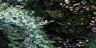
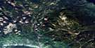
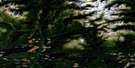
Fulton Lake Surrounding Area Aerial Photo Maps
 |
 |
 |
 |
 |
 |
 |
 |
 |
 |
 |
 |
 |
 |
 |
 |
© Department of Natural Resources Canada. All rights reserved.
Fulton Lake Gazetteer
The following places can be found on satellite image map 093L16 Fulton Lake:
Fulton Lake Satellite Image: Bays
Hagan ArmHawthorn Bay
Michell Bay
Nose Bay
Port Arthur
Wilkinson Bay
Fulton Lake Satellite Image: Capes
Newman PeninsulaRed Bluff Point
Fulton Lake Satellite Image: Indian Reserves
Babine Indian Reserve 25Babine Indian Reserve 26
Réserve indienne Babine 25
Réserve indienne Babine 26
Fulton Lake Satellite Image: Islands
Bear IslandDouble Island
Gopher Islands
Long Island
McDonald Island
Newman Island
Red Island
Snowshoe Island
Sterrett Island
Tachek Island
The Cub
Fulton Lake Satellite Image: Lakes
Babine LakeFulton Lake
Saturday Lake
Timber Lake
Fulton Lake Satellite Image: Major municipal/district area - major agglomerations
Regional District of Bulkley-NechakoFulton Lake Satellite Image: Conservation areas
Red Bluff ParkTopley Landing Park
Topley Park
Fulton Lake Satellite Image: Plains
Interior PlateauNechako Plateau
Fulton Lake Satellite Image: Rivers
Broughton CreekDeasy Creek
Eggleston Creek
Fulton River
Guess Creek
Maidment Creek
Nicholson Creek
Tachek Creek
Tanglechain Creek
Fulton Lake Satellite Image: Unincorporated areas
Topley LandingFulton Lake Satellite Image: Villages
Granisle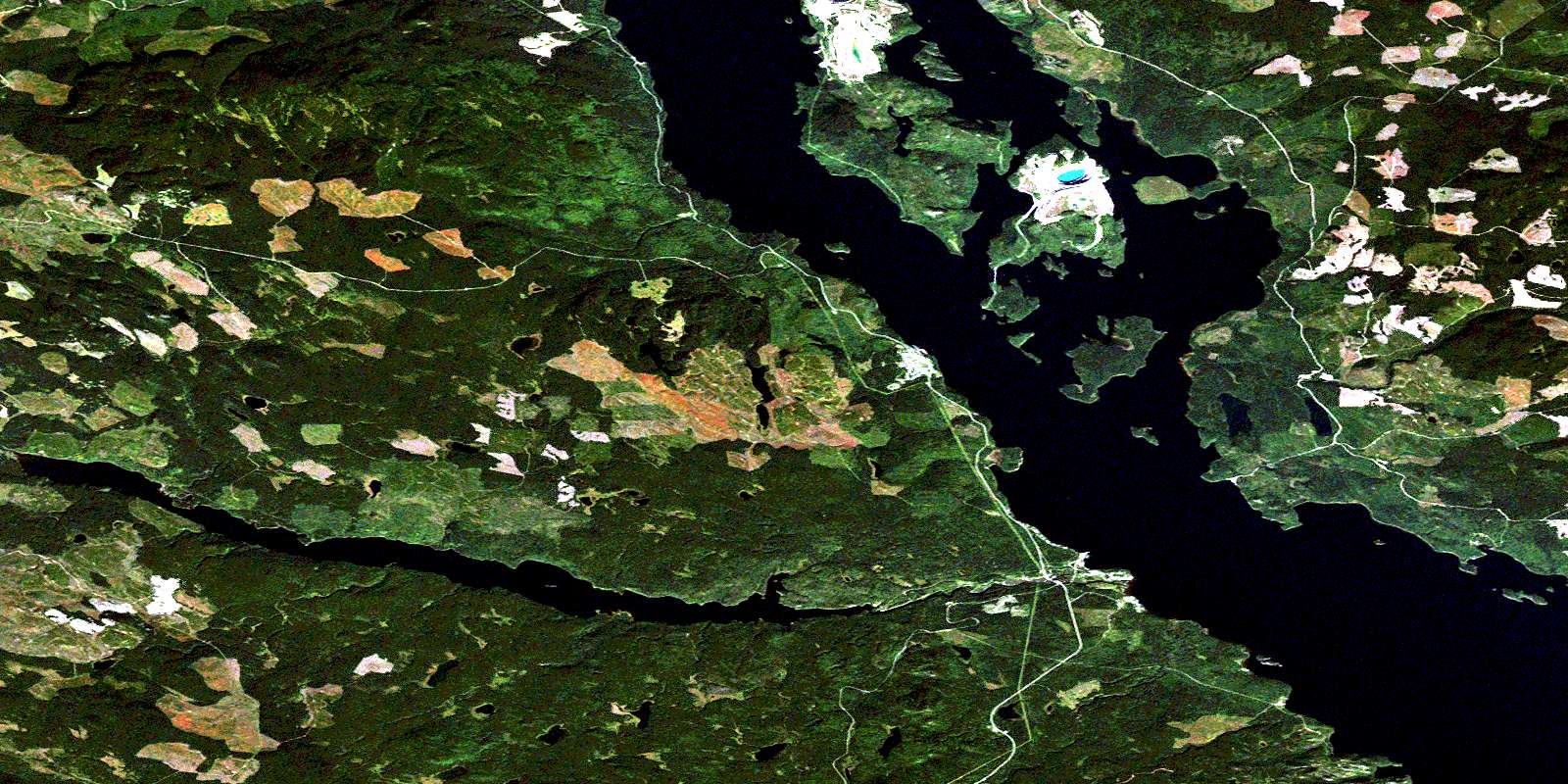
© Department of Natural Resources Canada. All rights reserved.
093L Related Maps:
093L Smithers093L01 Colleymount
093L02 Owen Lake
093L03 Lamprey Creek
093L04 Corona Peak
093L05 Burnie Lake
093L06 Thautil River
093L07 Houston
093L08 Forestdale
093L09 Topley
093L10 Quick
093L11 Telkwa
093L12 Milk Creek
093L13 Mcdonell Lake
093L14 Smithers
093L15 Driftwood Creek
093L16 Fulton Lake
