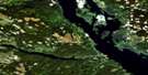
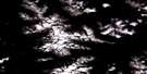
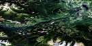
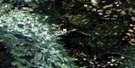
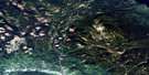
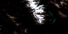
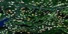
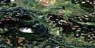
Milk Creek Satellite Image Map
Download Free Aerial Photo 093L12 at 1:50,000 scale
Milk Creek Satellite Imagery
To view this satellite map, mouse over the air photo on the right.
You can also download this satellite image map for free:
093L12 Milk Creek high-resolution satellite image map.
Maps for the Milk Creek aerial map sheet 093L12 at 1:50,000 scale are also available in these versions:
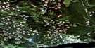
Milk Creek Surrounding Area Aerial Photo Maps
 |
 |
 |
 |
 |
 |
 |
 |
 |
 |
 |
 |
 |
 |
 |
 |
© Department of Natural Resources Canada. All rights reserved.
Milk Creek Gazetteer
The following places can be found on satellite image map 093L12 Milk Creek:
Milk Creek Satellite Image: Geographical areas
Range 5 Coast Land DistrictMilk Creek Satellite Image: Glaciers
Fubar GlacierMilk Creek Satellite Image: Lakes
Tauw LakeTop Lake
Milk Creek Satellite Image: Mountains
Bulkley RangesHazelton Mountains
Howson Range
Milk Creek Satellite Image: Major municipal/district area - major agglomerations
Regional District of Bulkley-NechakoRegional District of Kitimat-Stikine
Milk Creek Satellite Image: Rivers
Blackberry CreekClean Creek
Clear Creek
Elliott Creek
Limonite Creek
Many Bear Creek
Mattock Creek
Miligit Creek
Milk Creek
Nogold Creek
Serb Creek
Sinclair Creek
Telkwa River
Treasure Creek
Tsai Creek
Zymoetz River
Milk Creek Satellite Image: Valleys
Telkwa Pass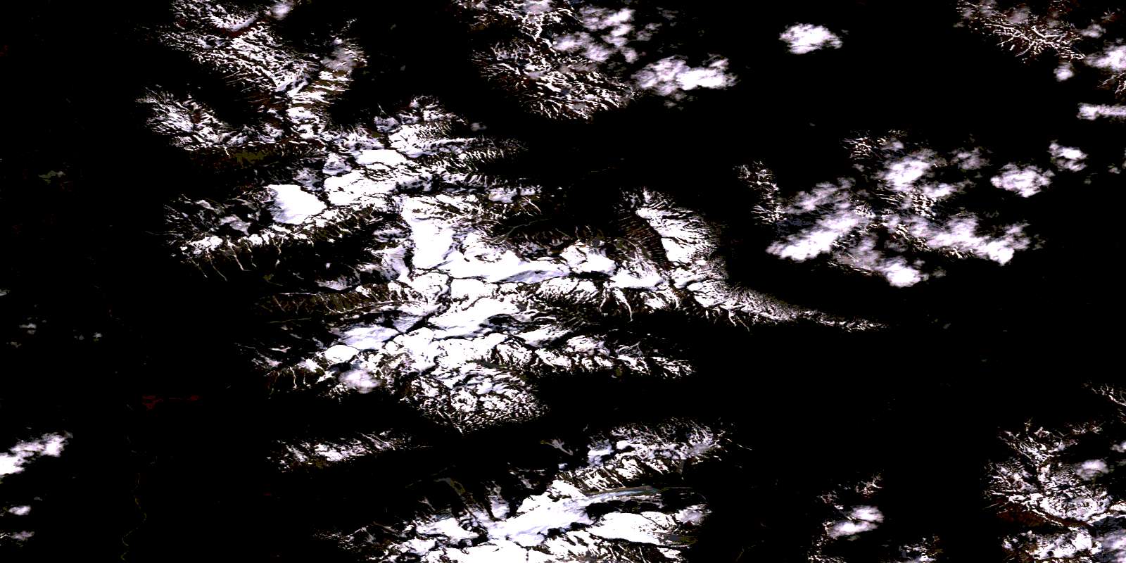
© Department of Natural Resources Canada. All rights reserved.
093L Related Maps:
093L Smithers093L01 Colleymount
093L02 Owen Lake
093L03 Lamprey Creek
093L04 Corona Peak
093L05 Burnie Lake
093L06 Thautil River
093L07 Houston
093L08 Forestdale
093L09 Topley
093L10 Quick
093L11 Telkwa
093L12 Milk Creek
093L13 Mcdonell Lake
093L14 Smithers
093L15 Driftwood Creek
093L16 Fulton Lake
