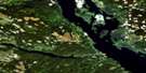
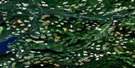
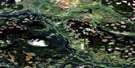
Forestdale Satellite Image Map
Download Free Aerial Photo 093L08 at 1:50,000 scale
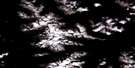
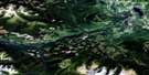
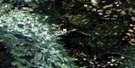
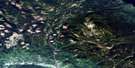
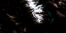
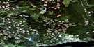
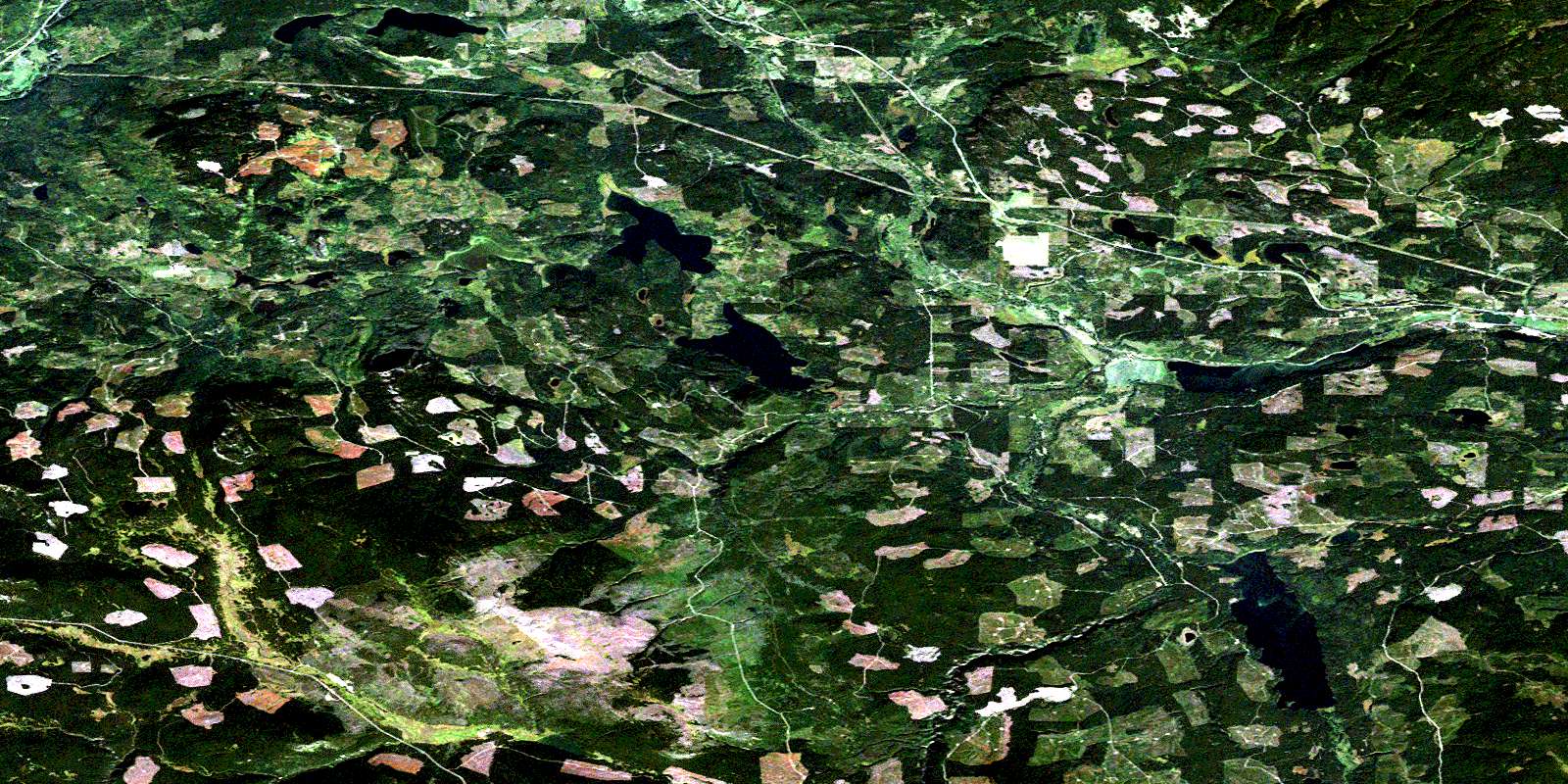
Forestdale Satellite Imagery
To view this satellite map, mouse over the air photo on the right.
You can also download this satellite image map for free:
093L08 Forestdale high-resolution satellite image map.
Maps for the Forestdale aerial map sheet 093L08 at 1:50,000 scale are also available in these versions:
Forestdale Surrounding Area Aerial Photo Maps
 |
 |
 |
 |
 |
 |
 |
 |
 |
 |
 |
 |
 |
 |
 |
 |
© Department of Natural Resources Canada. All rights reserved.
Forestdale Gazetteer
The following places can be found on satellite image map 093L08 Forestdale:
Forestdale Satellite Image: Indian Reserves
Duncan Lake Indian Reserve 12Duncan Lake Indian Reserve 2
Foxy Creek Indian Reserve 11B
Foxy Creek Indian Reserve 6
Maxan Creek Indian Reserve 5
Maxan Lake Indian Reserve 3
Maxan Lake Indian Reserve 4
Maxim Creek Indian Reserve 11A
Maxim Creek Indian Reserve 11A
Maxim Lake Indian Reserve 11
Maxim Lake Indian Reserve 12A
Réserve indienne Duncan Lake 12
Réserve indienne Duncan Lake 2
Réserve indienne Foxy Creek 11B
Réserve indienne Foxy Creek 6
Réserve indienne Maxan Creek 5
Réserve indienne Maxan Lake 3
Réserve indienne Maxan Lake 4
Réserve indienne Maxim Creek 11A
Réserve indienne Maxim Creek 11A
Réserve indienne Maxim Lake 11
Réserve indienne Maxim Lake 12A
Forestdale Satellite Image: Lakes
Broman LakeBulkley Lake
Conrad Lake
Day Lake
Elwin Lake
Gilmore Lake
Goose Lake
Lars Lake
Maxam Lake
Maxan Lake
McBrierie Lake
Old Man Lake
Old Woman Lake
Rose Lake
Sunset Lake
Swan Lake
Swans Lake
Watson Lake
Wiggins Lake
Forestdale Satellite Image: Mountains
China Nose MountainForestdale Satellite Image: Major municipal/district area - major agglomerations
Regional District of Bulkley-NechakoForestdale Satellite Image: Plains
Interior PlateauNechako Plateau
Forestdale Satellite Image: Rivers
Ailport CreekAitken Creek
Bulkley River
Crow Creek
Dungate Creek
Endako River
Foxy Creek
Heading Creek
Klo Creek
Maxan Creek
North Ailport Creek
Taman Creek
Watson Creek
Wiggins Creek
Forestdale Satellite Image: Unincorporated areas
Broman LakeBroman Lake
Forestdale
North Bulkley
Rose Lake
© Department of Natural Resources Canada. All rights reserved.
093L Related Maps:
093L Smithers093L01 Colleymount
093L02 Owen Lake
093L03 Lamprey Creek
093L04 Corona Peak
093L05 Burnie Lake
093L06 Thautil River
093L07 Houston
093L08 Forestdale
093L09 Topley
093L10 Quick
093L11 Telkwa
093L12 Milk Creek
093L13 Mcdonell Lake
093L14 Smithers
093L15 Driftwood Creek
093L16 Fulton Lake
