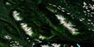
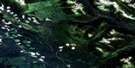
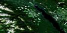
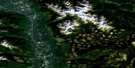
Shedin Creek Satellite Image Map
Download Free Aerial Photo 093M13 at 1:50,000 scale
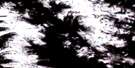
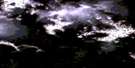
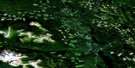
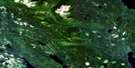
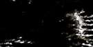
Shedin Creek Satellite Imagery
To view this satellite map, mouse over the air photo on the right.
You can also download this satellite image map for free:
093M13 Shedin Creek high-resolution satellite image map.
Maps for the Shedin Creek aerial map sheet 093M13 at 1:50,000 scale are also available in these versions:
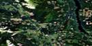
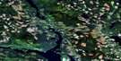
Shedin Creek Surrounding Area Aerial Photo Maps
 |
 |
 |
 |
 |
 |
 |
 |
 |
 |
 |
 |
 |
 |
 |
 |
© Department of Natural Resources Canada. All rights reserved.
Shedin Creek Gazetteer
The following places can be found on satellite image map 093M13 Shedin Creek:
Shedin Creek Satellite Image: Indian Reserves
Kuldoe Indian Reserve 1Réserve indienne Kuldoe 1
Shedin Creek Satellite Image: Lakes
Damsumlo LakeSmokee Lake
Shedin Creek Satellite Image: Mountains
Atna MountainsAtna Range
Kuldo Mountain
Shelf Ridge
Skeena Mountains
Shedin Creek Satellite Image: Major municipal/district area - major agglomerations
Regional District of Bulkley-NechakoShedin Creek Satellite Image: Rivers
Damsumlo CreekDeep Canoe Creek
Goathead Creek
Kuldo Creek
Larkworthy Creek
MacIntosh Creek
Rosenthal Creek
Sam Green Creek
Shedin Creek
Skeena River
Sperry Creek
Shedin Creek Satellite Image: Unincorporated areas
Kuldo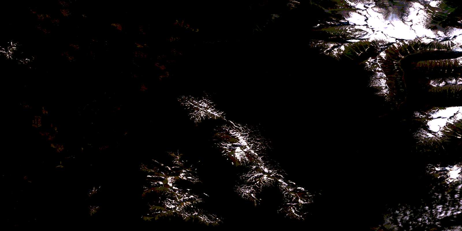
© Department of Natural Resources Canada. All rights reserved.
093M Related Maps:
093M Hazelton093M01 Old Fort Mountain
093M02 Harold Price Creek
093M03 Moricetown
093M04 Skeena Crossing
093M05 Hazelton
093M06 Suskwa River
093M07 Netalzul Mountain
093M08 Nakinilerak Lake
093M09 Bulkley House
093M10 Nilkitkwa River
093M11 Gunanoot Lake
093M12 Cutoff Mountain
093M13 Shedin Creek
093M14 Shelagyote Peak
093M15 Kotsine River
093M16 Lion Creek
