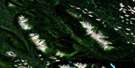
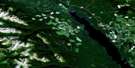
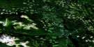
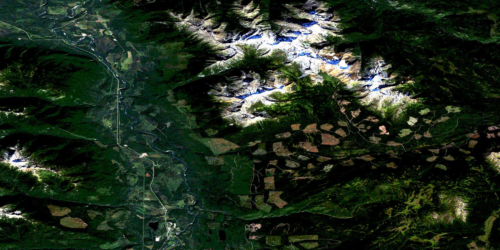
Moricetown Satellite Image Map
Download Free Aerial Photo 093M03 at 1:50,000 scale
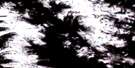
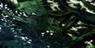
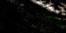
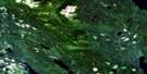
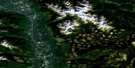
Moricetown Satellite Imagery
To view this satellite map, mouse over the air photo on the right.
You can also download this satellite image map for free:
093M03 Moricetown high-resolution satellite image map.
Maps for the Moricetown aerial map sheet 093M03 at 1:50,000 scale are also available in these versions:
Moricetown Surrounding Area Aerial Photo Maps
 |
 |
 |
 |
 |
 |
 |
 |
 |
 |
 |
 |
 |
 |
 |
 |
© Department of Natural Resources Canada. All rights reserved.
Moricetown Gazetteer
The following places can be found on satellite image map 093M03 Moricetown:
Moricetown Satellite Image: Indian Reserves
Babine Indian Reserve 17Babine Indian Reserve 18
Bulkley Indian Reserve 1
Bulkley River Indian Reserve 19
Coryatsaqua (Moricetown) Indian Reserve 2
Moricetown Indian Reserve 1
Réserve indienne Babine 17
Réserve indienne Babine 18
Réserve indienne Bulkley 1
Réserve indienne Bulkley River 19
Réserve indienne Coryatsaqua (Moricetown) 2
Réserve indienne Moricetown 1
Moricetown Satellite Image: Lakes
Duckbill LakeDuckwing Lake
Moricetown Satellite Image: Mountains
Babine MountainsBabine Range
Blunt Mountain
Bulkley Ranges
Hazelton Mountains
Mount Seaton
Rocher Déboulé Range
Skeena Mountains
Moricetown Satellite Image: Major municipal/district area - major agglomerations
Regional District of Bulkley-NechakoRegional District of Kitimat-Stikine
Moricetown Satellite Image: Conservation areas
Boulder Creek ParkNetalzul Meadows Park
Moricetown Satellite Image: Plains
Interior PlateauMosquito Flat
Mosquito Flats
Nechako Plateau
Strawberry Flats
Moricetown Satellite Image: Rivers
Armagosa CreekAtrill Creek
Blunt Creek
Boulder Creek
Bulkley River
Bunker Creek
Camp Creek
Causqua Creek
China Creek
Chink Creek
Corduroy Creek
Corya Creek
Gramophone Creek
Graphite Creek
Harold Price Creek
John Brown Creek
Kwun Creek
Luno Creek
Mudflat Creek
Netalzul Creek
Porphyry Creek
Sharpe Creek
Skilokis Creek
Straw Creek
Suskwa River
Touhy Creek
Moricetown Satellite Image: Unincorporated areas
BeamentBulkley Canyon
Moricetown
Seaton
© Department of Natural Resources Canada. All rights reserved.
093M Related Maps:
093M Hazelton093M01 Old Fort Mountain
093M02 Harold Price Creek
093M03 Moricetown
093M04 Skeena Crossing
093M05 Hazelton
093M06 Suskwa River
093M07 Netalzul Mountain
093M08 Nakinilerak Lake
093M09 Bulkley House
093M10 Nilkitkwa River
093M11 Gunanoot Lake
093M12 Cutoff Mountain
093M13 Shedin Creek
093M14 Shelagyote Peak
093M15 Kotsine River
093M16 Lion Creek
