Dawson Creek Satellite Image Map
Download Free Aerial Photo 093P16 at 1:50,000 scale
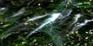
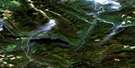
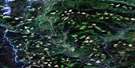
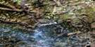
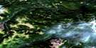
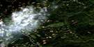
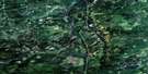
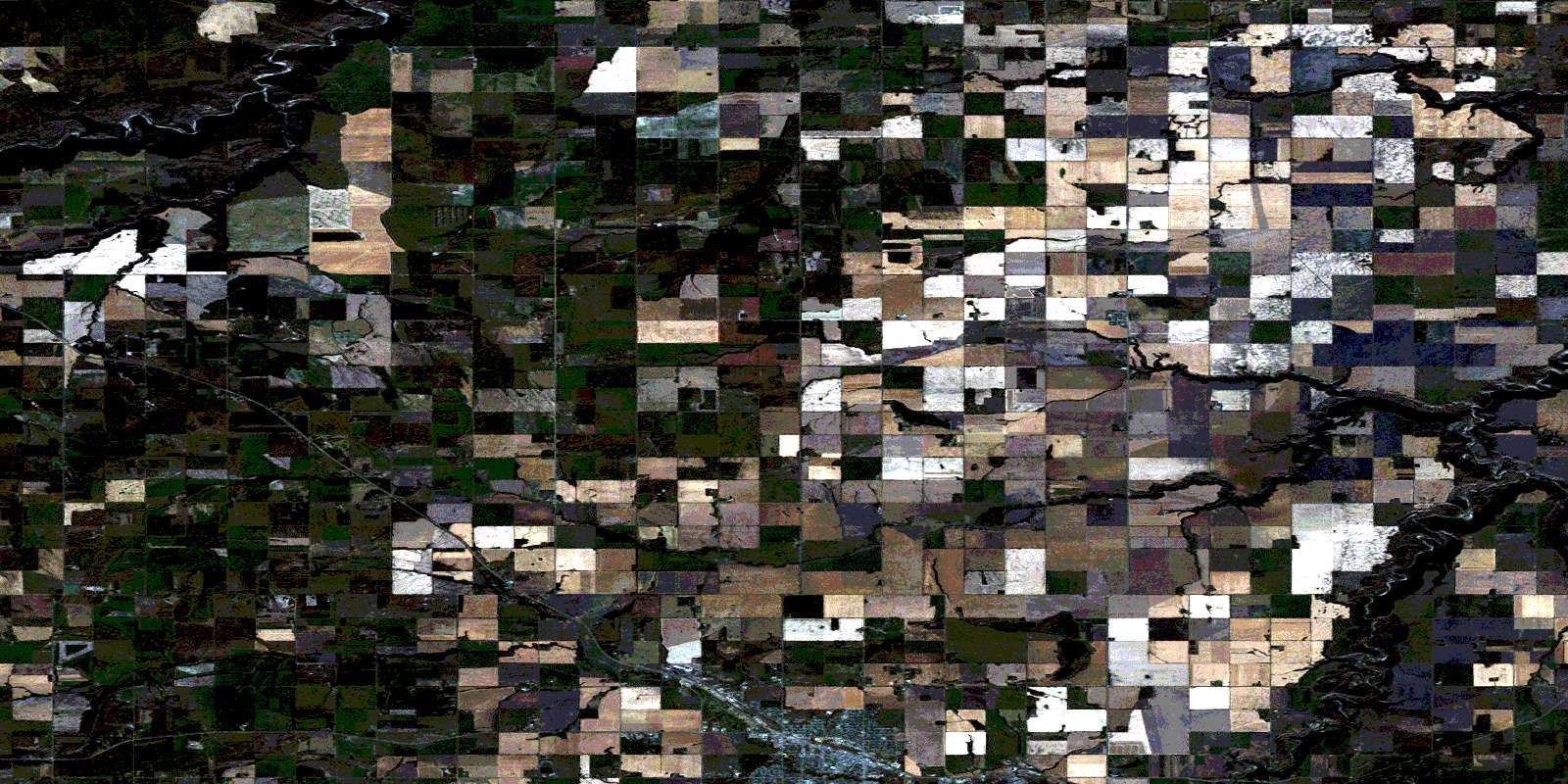
Dawson Creek Satellite Imagery
To view this satellite map, mouse over the air photo on the right.
You can also download this satellite image map for free:
093P16 Dawson Creek high-resolution satellite image map.
Maps for the Dawson Creek aerial map sheet 093P16 at 1:50,000 scale are also available in these versions:
Dawson Creek Surrounding Area Aerial Photo Maps
 |
 |
 |
 |
 |
 |
 |
 |
 |
 |
 |
 |
 |
 |
 |
 |
© Department of Natural Resources Canada. All rights reserved.
Dawson Creek Gazetteer
The following places can be found on satellite image map 093P16 Dawson Creek:
Dawson Creek Satellite Image: City
Dawson CreekDawson Creek Satellite Image: Geographical areas
Peace River Land DistrictDawson Creek Satellite Image: Lakes
McQueen SloughDawson Creek Satellite Image: Major municipal/district area - major agglomerations
Peace River Regional DistrictDawson Creek Satellite Image: Plains
Peace River LowlandDawson Creek Satellite Image: Provinces
AlbertaBritish Columbia
Colombie-Britannique
Dawson Creek Satellite Image: Rivers
Coal CreekColeman Creek
Dawson Creek
Doe Creek
Henderson Creek
Kiskatinaw River
McQueen Creek
Pouce Coupé River
Rolla Creek
Saskatoon Creek
Sergeant Creek
South Dawson Creek
Dawson Creek Satellite Image: Unincorporated areas
BessboroughBriar Ridge
Doe River
Farmington
Iracard
Kilkerran
Rolla
Seven Mile Corner
Sweetwater
Tracard
Urquhart
Valley View
© Department of Natural Resources Canada. All rights reserved.
093P Related Maps:
093P Dawson Creek093P01 Blackhawk Lake
093P02 Tumbler Ridge
093P03 Bullmoose Creek
093P04 Sukunka River
093P05 Burnt River
093P06 Gwillim Lake
093P07 Sundown Creek
093P08 Tupper Creek
093P09 Pouce Coupe
093P10 Arras
093P11 East Pine
093P12 Commotion Creek
093P13 Moberly Lake
093P14 Favels Creek
093P15 Sunset Prairie
093P16 Dawson Creek
