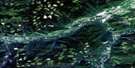
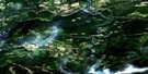
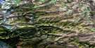
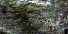
Moberly Lake Satellite Image Map
Download Free Aerial Photo 093P13 at 1:50,000 scale
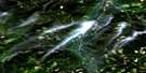
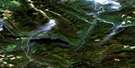
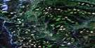
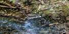
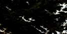
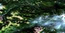
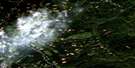
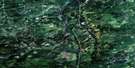
Moberly Lake Satellite Imagery
To view this satellite map, mouse over the air photo on the right.
You can also download this satellite image map for free:
093P13 Moberly Lake high-resolution satellite image map.
Maps for the Moberly Lake aerial map sheet 093P13 at 1:50,000 scale are also available in these versions:
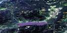
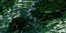
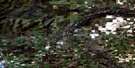
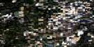
Moberly Lake Surrounding Area Aerial Photo Maps
 |
 |
 |
 |
 |
 |
 |
 |
 |
 |
 |
 |
 |
 |
 |
 |
© Department of Natural Resources Canada. All rights reserved.
Moberly Lake Gazetteer
The following places can be found on satellite image map 093P13 Moberly Lake:
Moberly Lake Satellite Image: District municipality
Hudson's HopeMoberly Lake Satellite Image: Hydraulic construction
Peace Canyon DamMoberly Lake Satellite Image: Indian Reserves
East Moberly Lake Indian Reserve 169Réserve indienne East Moberly Lake 169
Réserve indienne West Moberly Lake 168A
West Moberly Lake Indian Reserve 168A
Moberly Lake Satellite Image: Lakes
Boucher LakeCameron Lakes
Dinosaur Lake
Halfmoon Lake
Jackfish Lake
Moberly Lake
North Cameron Lake
Réné Lake
South Cameron Lake
Moberly Lake Satellite Image: Mountains
Rocky Mountain FoothillsMoberly Lake Satellite Image: Major municipal/district area - major agglomerations
Peace River Regional DistrictMoberly Lake Satellite Image: Conservation areas
Moberly Lake ParkSpencer Tuck Park
Moberly Lake Satellite Image: Rivers
Benson CreekBullrun Creek
Cameron Creek
Centurion Creek
Dokie Creek
Hulcross Creek
Le Bleu Creek
Lebleu Creek
Maurice Creek
Medicine Woman Creek
Moberly River
Paquette Creek
Peace River
Pine River
Portage Creek
Pys Creek
Rivière de la Paix
Windrem Creek
Moberly Lake Satellite Image: Unincorporated areas
Moberly Lake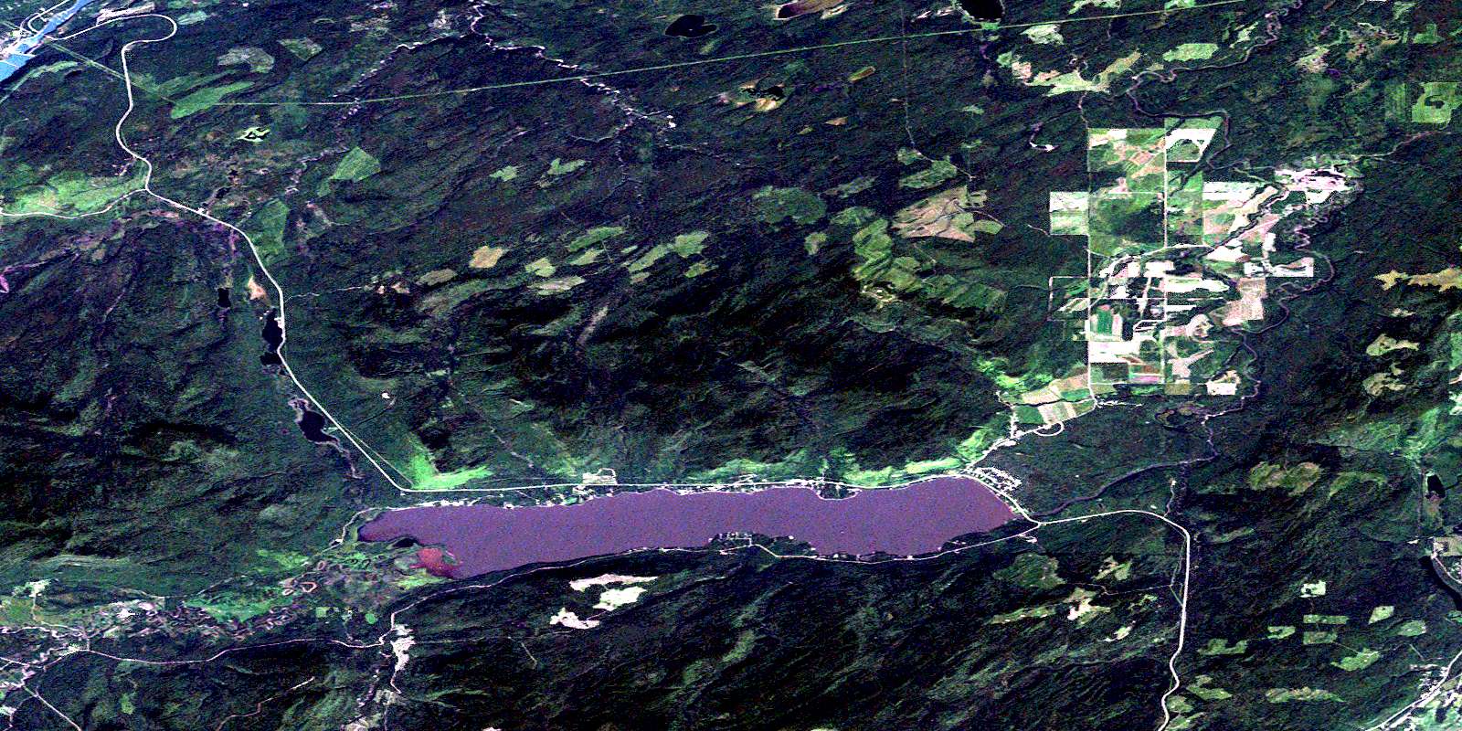
© Department of Natural Resources Canada. All rights reserved.
093P Related Maps:
093P Dawson Creek093P01 Blackhawk Lake
093P02 Tumbler Ridge
093P03 Bullmoose Creek
093P04 Sukunka River
093P05 Burnt River
093P06 Gwillim Lake
093P07 Sundown Creek
093P08 Tupper Creek
093P09 Pouce Coupe
093P10 Arras
093P11 East Pine
093P12 Commotion Creek
093P13 Moberly Lake
093P14 Favels Creek
093P15 Sunset Prairie
093P16 Dawson Creek
