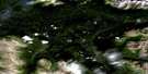
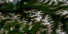
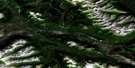
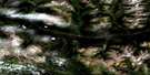
Laslui Lake Satellite Image Map
Download Free Aerial Photo 094E05 at 1:50,000 scale
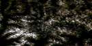
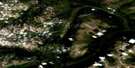
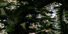
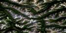
Laslui Lake Satellite Imagery
To view this satellite map, mouse over the air photo on the right.
You can also download this satellite image map for free:
094E05 Laslui Lake high-resolution satellite image map.
Maps for the Laslui Lake aerial map sheet 094E05 at 1:50,000 scale are also available in these versions:
Laslui Lake Surrounding Area Aerial Photo Maps
 |
 |
 |
 |
 |
 |
 |
 |
 |
 |
 |
 |
 |
 |
 |
 |
© Department of Natural Resources Canada. All rights reserved.
Laslui Lake Gazetteer
The following places can be found on satellite image map 094E05 Laslui Lake:
Laslui Lake Satellite Image: Lakes
Chapea LakeHotlesklwa Lake
Laslui Lake
North Duti Lake
South Duti Lake
Laslui Lake Satellite Image: Mountains
Metsantan RangeMount Terraze
Omineca Mountains
Skeena Mountains
Tomias Mountain
Laslui Lake Satellite Image: Conservation areas
Spatsizi Plateau Wilderness ParkLaslui Lake Satellite Image: Plains
Spatsizi PlateauStikine Plateau
Laslui Lake Satellite Image: Rapids
Fountain RapidsLaslui Lake Satellite Image: Rivers
Chapea CreekChili Creek
Duti River
Ella Creek
Hotlesklwa Creek
Metsantan Creek
Moyez Creek
Sanabar Creek
Stikine River
Tango Creek
Worry Creek
Laslui Lake Satellite Image: Unincorporated areas
Caribou Hide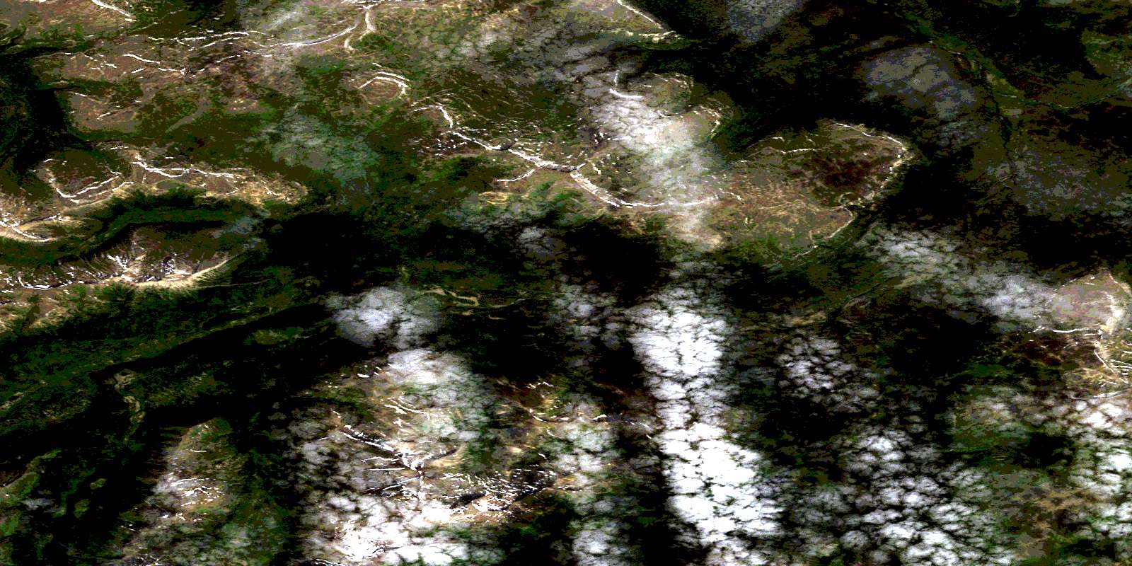
© Department of Natural Resources Canada. All rights reserved.
094E Related Maps:
094E Toodoggone River094E01 Laforce Creek
094E02 Attycelley Creek
094E03 Sturdee River
094E04 Stalk Lakes
094E05 Laslui Lake
094E06 Moosehorn Creek
094E07 Mount Katharine
094E08 Mount Bower
094E09 Cutoff Creek
094E10 Mount Cushing
094E11 Moosehorn Lake
094E12 Spruce Hill
094E13 No Title
094E14 No Title
094E15 Thudaka Peak
094E16 Sifton Pass
