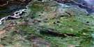
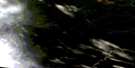
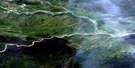
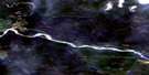
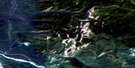
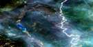
Vents River Satellite Image Map
Download Free Aerial Photo 094M08 at 1:50,000 scale
Vents River Satellite Imagery
To view this satellite map, mouse over the air photo on the right.
You can also download this satellite image map for free:
094M08 Vents River high-resolution satellite image map.
Maps for the Vents River aerial map sheet 094M08 at 1:50,000 scale are also available in these versions:
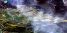
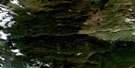
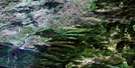
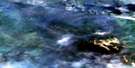
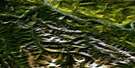
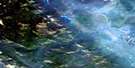
Vents River Surrounding Area Aerial Photo Maps
 |
 |
 |
 |
 |
 |
 |
 |
 |
 |
 |
 |
 |
 |
 |
 |
© Department of Natural Resources Canada. All rights reserved.
Vents River Gazetteer
The following places can be found on satellite image map 094M08 Vents River:
Vents River Satellite Image: Geographical areas
Cassiar Land DistrictVents River Satellite Image: Lakes
Forcier LakeLapie Lake
Vents River Satellite Image: Mountains
Campbell PeakMount Ole
Mount Reid
Muskwa Ranges
Rocky Mountains
Sentinel Range
Terminal Range
Vents River Satellite Image: Major municipal/district area - major agglomerations
Fort Nelson-Liard Regional DistrictVents River Satellite Image: Conservation areas
Liard River Hot Springs ParkVents River Satellite Image: Plains
Liard PlainLiard Plateau
Vents River Satellite Image: Rivers
Berg CreekForcier Creek
Hoole Creek
Lapie Creek
Liard River
Mould Creek
Teeter Creek
Trout River
Vents River
Vents River Satellite Image: Springs
Liard Hot SpringsLiard Hotsprings
Theresa Hot Springs
Vents River Satellite Image: Unincorporated areas
Liard River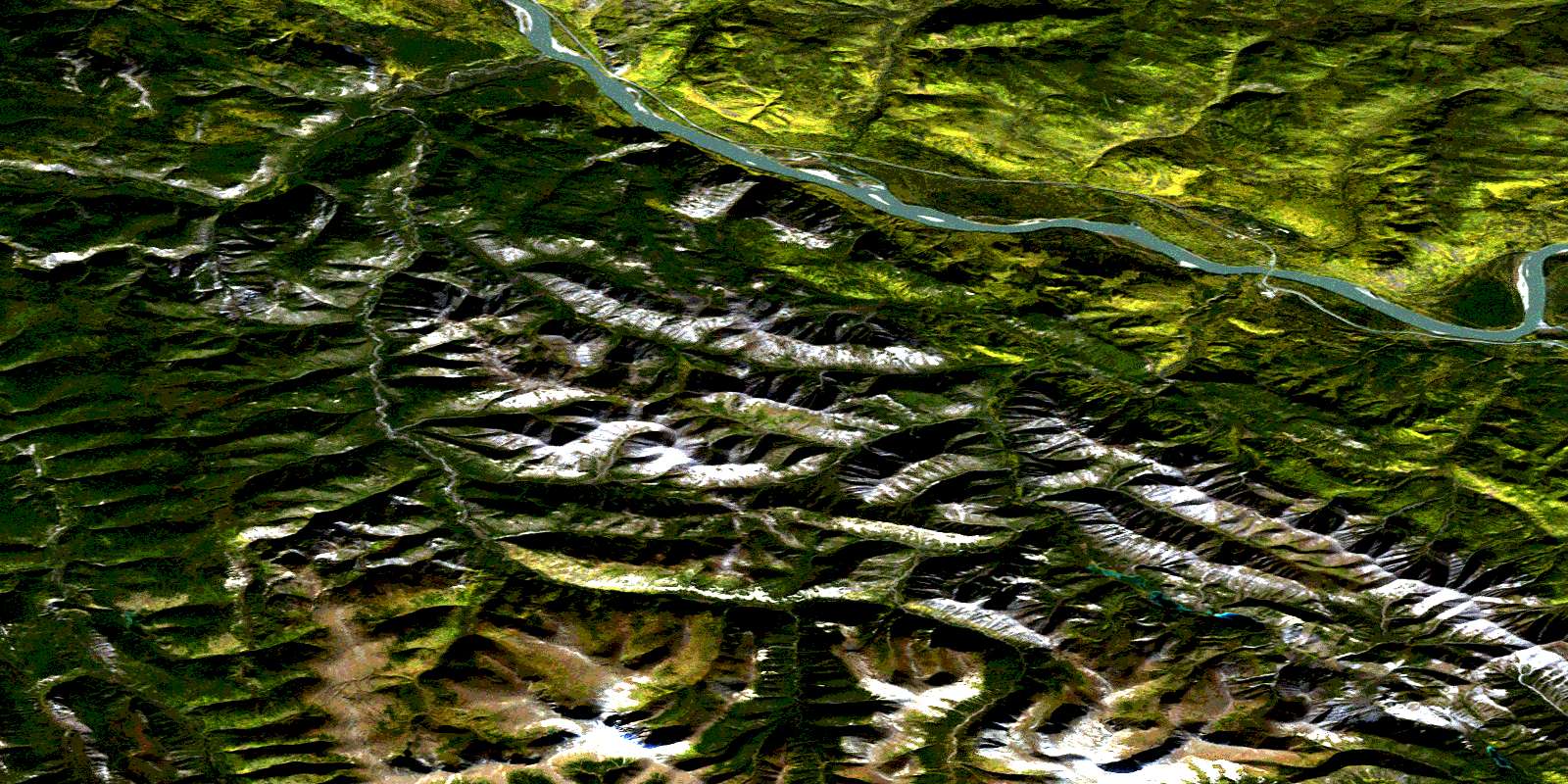
© Department of Natural Resources Canada. All rights reserved.
094M Related Maps:
094M Rabbit River094M01 Skeezer Lake
094M02 No Title
094M03 Scoop Lake
094M04 Turnagain River
094M05 Aeroplane Lake
094M06 Gemini Lakes
094M07 Fishing Lake
094M08 Vents River
094M09 Teeter Creek
094M10 Grant Lake
094M11 Fireside
094M12 Tatisno Mountain
094M13 Egnell Lakes
094M14 Hillgren Lakes
094M15E Shaw Creek
094M15W Shaw Creek
094M16E Smith River
094M16W Smith River
