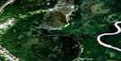
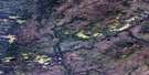
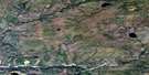
Emile Lake Satellite Image Map
Download Free Aerial Photo 095B15 at 1:50,000 scale
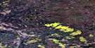
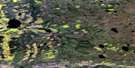
Emile Lake Satellite Imagery
To view this satellite map, mouse over the air photo on the right.
You can also download this satellite image map for free:
095B15 Emile Lake high-resolution satellite image map.
Maps for the Emile Lake aerial map sheet 095B15 at 1:50,000 scale are also available in these versions:
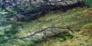
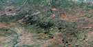
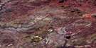
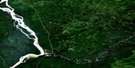
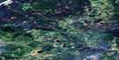
Emile Lake Surrounding Area Aerial Photo Maps
 |
 |
 |
 |
 |
 |
 |
 |
 |
 |
 |
 |
 |
 |
 |
 |
© Department of Natural Resources Canada. All rights reserved.
Emile Lake Gazetteer
The following places can be found on satellite image map 095B15 Emile Lake:
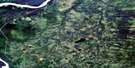
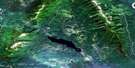
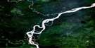
Emile Lake Satellite Image: Lakes
Emile Lake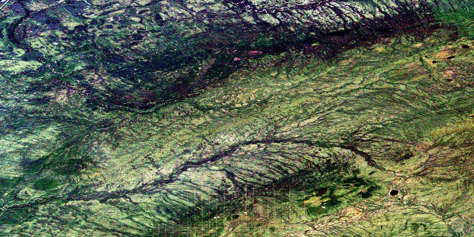
© Department of Natural Resources Canada. All rights reserved.
095B Related Maps:
095B Fort Liard095B01 Celibeta Lake
095B02 Lake Bovie
095B03 Fort Liard
095B04 Betalamea Lake
095B05 Fisherman Lake
095B06 No Title
095B07 No Title
095B08 No Title
095B09 No Title
095B10 No Title
095B11 Denedothada Creek
095B12 Mount Flett
095B13 Sawmill Mountain
095B14 Netla River
095B15 Emile Lake
095B16 No Title
