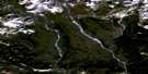
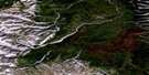
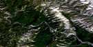
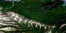
Second Canyon Satellite Image Map
Download Free Aerial Photo 095F07 at 1:50,000 scale
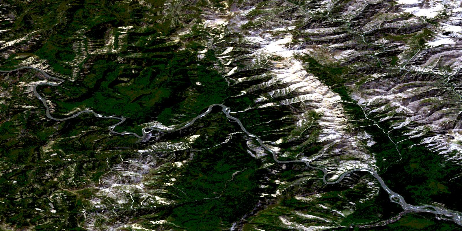
Second Canyon Satellite Imagery
To view this satellite map, mouse over the air photo on the right.
You can also download this satellite image map for free:
095F07 Second Canyon high-resolution satellite image map.
Maps for the Second Canyon aerial map sheet 095F07 at 1:50,000 scale are also available in these versions:
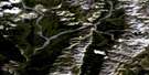
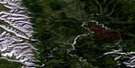
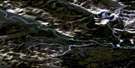
Second Canyon Surrounding Area Aerial Photo Maps
 |
 |
 |
 |
 |
 |
 |
 |
 |
 |
 |
 |
 |
 |
 |
 |
© Department of Natural Resources Canada. All rights reserved.
Second Canyon Gazetteer
The following places can be found on satellite image map 095F07 Second Canyon:
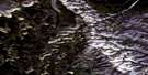
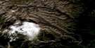
Second Canyon Satellite Image: Cliffs
Pulpit RockSecond Canyon Satellite Image: Mountains
Cathedral RockFuneral Range
Headless Range
Mackenzie Mountains
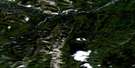
Second Canyon Satellite Image: Conservation areas
Nahanni National Park Reserve of CanadaRéserve de parc national du Canada Nahanni
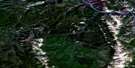
Second Canyon Satellite Image: Plains
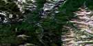
Liard PlateauSecond Canyon Satellite Image: Rivers
Meilleur RiverPrairie Creek
South Nahanni River
Second Canyon Satellite Image: River features
Big BendSecond Canyon Satellite Image: Valleys
Deadmen ValleySecond Canyon
The Gate
Third Canyon
© Department of Natural Resources Canada. All rights reserved.
095F Related Maps:
095F Virginia Falls095F01 Clausen Creek
095F02 No Title
095F03 No Title
095F04 No Title
095F05 Mary River
095F06 May Creek
095F07 Second Canyon
095F08 First Canyon
095F09 Sundog Creek
095F10 No Title
095F11 Vera Creek
095F12 Virginia Falls
095F13 Clearwater Creek
095F14 Wrigley Creek
095F15 Corridor Creek
095F16 No Title
