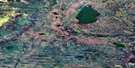
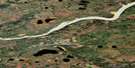
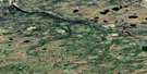
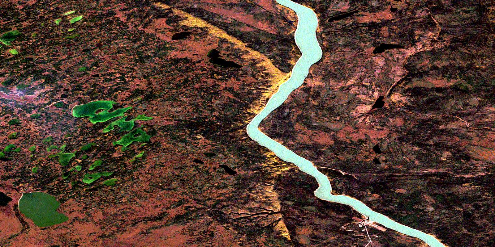
Goodall Lake Satellite Image Map
Download Free Aerial Photo 095H10 at 1:50,000 scale
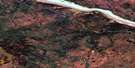
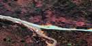
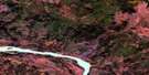
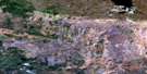
Goodall Lake Satellite Imagery
To view this satellite map, mouse over the air photo on the right.
You can also download this satellite image map for free:
095H10 Goodall Lake high-resolution satellite image map.
Maps for the Goodall Lake aerial map sheet 095H10 at 1:50,000 scale are also available in these versions:
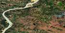
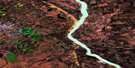
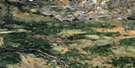
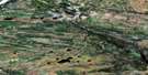
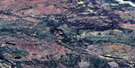
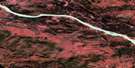
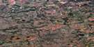
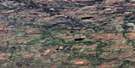
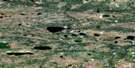
Goodall Lake Surrounding Area Aerial Photo Maps
 |
 |
 |
 |
 |
 |
 |
 |
 |
 |
 |
 |
 |
 |
 |
 |
© Department of Natural Resources Canada. All rights reserved.
Goodall Lake Gazetteer
The following places can be found on satellite image map 095H10 Goodall Lake:
Goodall Lake Satellite Image: Lakes
Goodall LakeGoodall Lake Satellite Image: Rivers
Fleuve MackenzieJean Marie River
Jean-Marie Creek
Mackenzie River
Spence River
Goodall Lake Satellite Image: Unincorporated areas
Jean Marie RiverJean-Marie
© Department of Natural Resources Canada. All rights reserved.
095H Related Maps:
095H Fort Simpson095H01 No Title
095H02 No Title
095H03 Poplar River
095H04 No Title
095H05 Scotty Creek
095H06 No Title
095H07 Jean-Marie Creek
095H08 Cache Island
095H09 No Title
095H10 Goodall Lake
095H11E Manners Creek
095H11W Manners Creek
095H12E Antoine Lake
095H12W Antoine Lake
095H13E Martin River
095H13W Martin River
095H14 Fort Simpson
095H15 Strong Point
095H16 No Title
