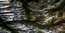
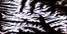
Dolf Mountain Satellite Image Map
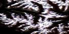
Download Free Aerial Photo 095L03 at 1:50,000 scale
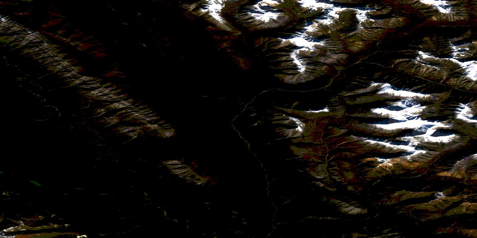
Dolf Mountain Satellite Imagery
To view this satellite map, mouse over the air photo on the right.
You can also download this satellite image map for free:
095L03 Dolf Mountain high-resolution satellite image map.
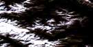
Maps for the Dolf Mountain aerial map sheet 095L03 at 1:50,000 scale are also available in these versions:
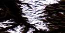
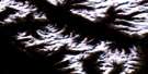
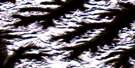
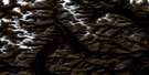
Dolf Mountain Surrounding Area Aerial Photo Maps
 |
 |
 |
 |
 |
 |
 |
 |
 |
 |
 |
 |
 |
 |
 |
 |
© Department of Natural Resources Canada. All rights reserved.
Dolf Mountain Gazetteer
The following places can be found on satellite image map 095L03 Dolf Mountain:
Dolf Mountain Satellite Image: Lakes
Glacier LakeDolf Mountain Satellite Image: Mountains
Backbone RangesDolf Mountain
Logan Mountains
Mackenzie Mountains
Ragged Range
Selwyn Mountains
Dolf Mountain Satellite Image: Conservation areas
Nahanni National Park Reserve of CanadaRéserve de parc national du Canada Nahanni
Dolf Mountain Satellite Image: Rivers
Brintnell CreekSouth Nahanni River
© Department of Natural Resources Canada. All rights reserved.
095L Related Maps:
095L Glacier Lake095L01 No Title
095L02 No Title
095L03 Dolf Mountain
095L04 Mount Sir James Macbrien
095L05 Black Wolf Mountain
095L06 Avalanche Lake
095L07 No Title
095L08 No Title
095L09 Mount Berg
095L10 Coppercap Mountain
095L11 No Title
095L12 Grizzly Bear Lake
095L13 No Title
095L14 No Title
095L15 Mount Kraft
095L16 No Title
