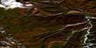
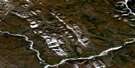
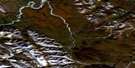
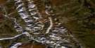
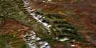
Marten Creek Satellite Image Map
Download Free Aerial Photo 095N05 at 1:50,000 scale
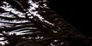
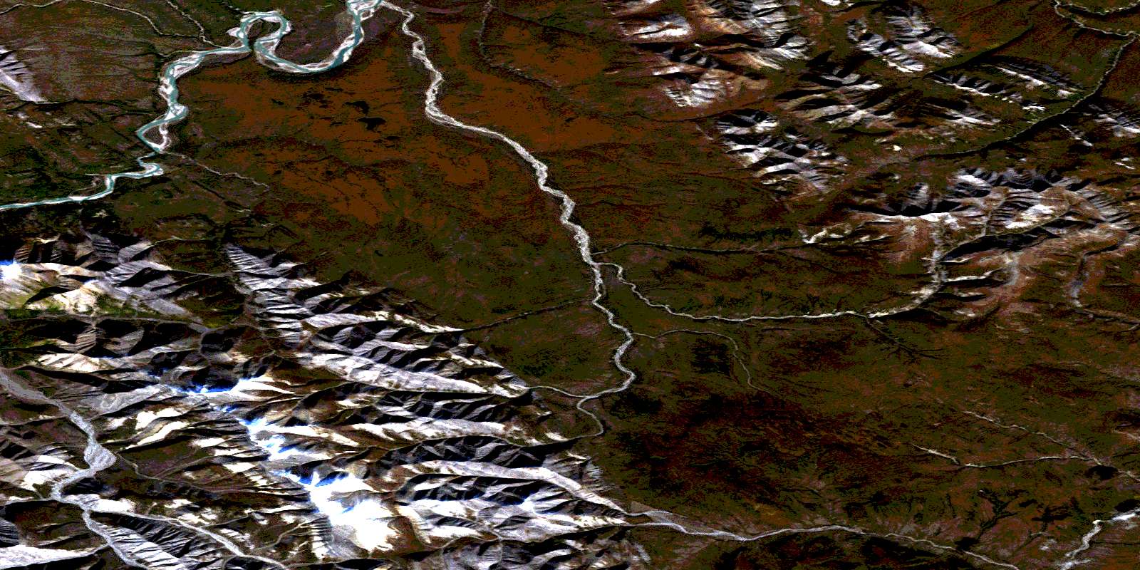
Marten Creek Satellite Imagery
To view this satellite map, mouse over the air photo on the right.
You can also download this satellite image map for free:
095N05 Marten Creek high-resolution satellite image map.
Maps for the Marten Creek aerial map sheet 095N05 at 1:50,000 scale are also available in these versions:
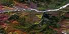
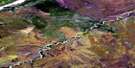
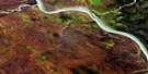
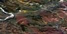
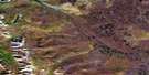
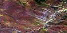
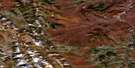
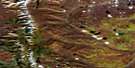
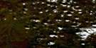
Marten Creek Surrounding Area Aerial Photo Maps
 |
 |
 |
 |
 |
 |
 |
 |
 |
 |
 |
 |
 |
 |
 |
 |
© Department of Natural Resources Canada. All rights reserved.
Marten Creek Gazetteer
The following places can be found on satellite image map 095N05 Marten Creek:
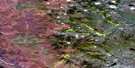
Marten Creek Satellite Image: Lakes
Blue LakeMarten Creek Satellite Image: Mountains
Backbone RangesCanyon Ranges
Mackenzie Mountains
Painted Mountains
Redstone Range
Rouge Range
Marten Creek Satellite Image: Rivers
Marten CreekNorth Redstone River
Ravens Throat River
Redstone River
Redstone River
© Department of Natural Resources Canada. All rights reserved.
095N Related Maps:
095N Dahadinni River095N01 No Title
095N02 Iverson Range
095N03 Dusky Range
095N04 Painted Mountains
095N05 Marten Creek
095N06 No Title
095N07 Slim Lake
095N08 No Title
095N09 No Title
095N10 Mount Dahadinni
095N11 No Title
095N12 Redstone Range
095N13 No Title
095N14 No Title
095N15 Cloverleaf Lake
095N16 No Title
