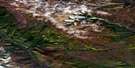
Old Fort Point Satellite Image Map
Download Free Aerial Photo 096C10 at 1:50,000 scale
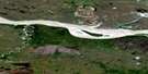
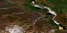
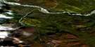
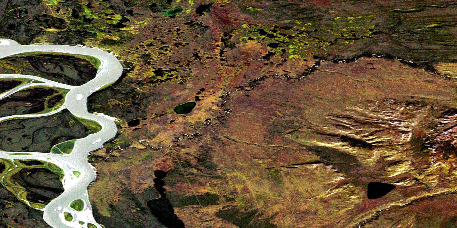
Old Fort Point Satellite Imagery
To view this satellite map, mouse over the air photo on the right.
You can also download this satellite image map for free:
096C10 Old Fort Point high-resolution satellite image map.
Maps for the Old Fort Point aerial map sheet 096C10 at 1:50,000 scale are also available in these versions:
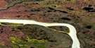
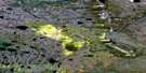
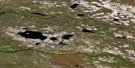
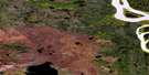
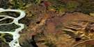
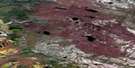
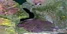
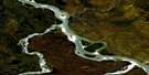
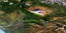
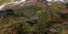
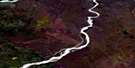
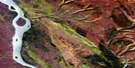
Old Fort Point Surrounding Area Aerial Photo Maps
 |
 |
 |
 |
 |
 |
 |
 |
 |
 |
 |
 |
 |
 |
 |
 |
© Department of Natural Resources Canada. All rights reserved.
Old Fort Point Gazetteer
The following places can be found on satellite image map 096C10 Old Fort Point:
Old Fort Point Satellite Image: Capes
Old Fort PointOld Fort Point Satellite Image: Islands
Dry IslandOld Fort Point Satellite Image: Lakes
Mio LakeOld Fort Point Satellite Image: Mountains
Franklin MountainsMcConnell Range
Old Fort Point Satellite Image: Rivers
Big Smith CreekFleuve Mackenzie
Little Smith Creek
Mackenzie River
© Department of Natural Resources Canada. All rights reserved.
096C Related Maps:
096C Fort Norman096C01 Birch Island
096C02 No Title
096C03 No Title
096C04 Red Dog Mountain
096C05 Summit Creek
096C06 Mooselick Creek
096C07 Burnt Point
096C08 Saline River
096C09 No Title
096C10 Old Fort Point
096C11 Tate Lake
096C12 Mackay Range
096C13 Fort Norman
096C14 Police Island
096C15 St Charles Creek
096C16 No Title
