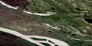
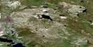
Norman Wells Satellite Image Map
Download Free Aerial Photo 096E07 at 1:50,000 scale
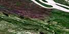
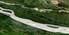
Norman Wells Satellite Imagery
To view this satellite map, mouse over the air photo on the right.
You can also download this satellite image map for free:
096E07 Norman Wells high-resolution satellite image map.
Maps for the Norman Wells aerial map sheet 096E07 at 1:50,000 scale are also available in these versions:
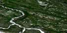
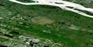
Norman Wells Surrounding Area Aerial Photo Maps
 |
 |
 |
 |
 |
 |
 |
 |
 |
 |
 |
 |
 |
 |
 |
 |
© Department of Natural Resources Canada. All rights reserved.
Norman Wells Gazetteer
The following places can be found on satellite image map 096E07 Norman Wells:
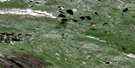
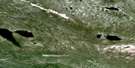
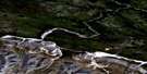
Norman Wells Satellite Image: Cliffs
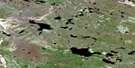
Kee ScarpNorman Wells Satellite Image: Islands
Bear IslandDehcho Island
Ekwe Island
Frenchy Island
Goose Island
Iteh K'ee Island
Little Bear Island
Rampart Island
Rayuka Island
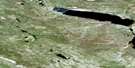
Norman Wells Satellite Image: Lakes
Bandy LakeD.O.T. Lake
Edie Lake
Hanna Lake
Hodgeson Lake
Seepage Lake
Sherwood Lake
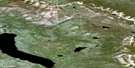
Norman Wells Satellite Image: Mountains
Discovery RidgeFranklin Mountains
Mount Hamar
Norman Range
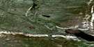
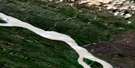
Norman Wells Satellite Image: Rivers
Bosworth CreekFleuve Mackenzie
Joe Creek
Mackenzie River
Oscar Creek
Schooner Creek
Snowshoe Creek
Norman Wells Satellite Image: Towns
Norman Wells
© Department of Natural Resources Canada. All rights reserved.
096E Related Maps:
096E Norman Wells096E01 Prohibition Creek
096E02 Three Day Lake
096E03 Canol
096E04 Loretta Canyon
096E05 Rete Lake
096E06 Oscar Lake
096E07 Norman Wells
096E08 Kelly Lake
096E09 Medzih Lake
096E10 Dillon Creek
096E11 Moon Lake
096E12 Hanna River
096E13 Mount Effie
096E14 Sam Mcrae Lake
096E15 Turton Lake
096E16 Doctor Lake
