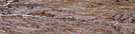
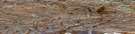
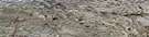
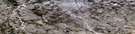
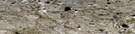
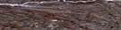
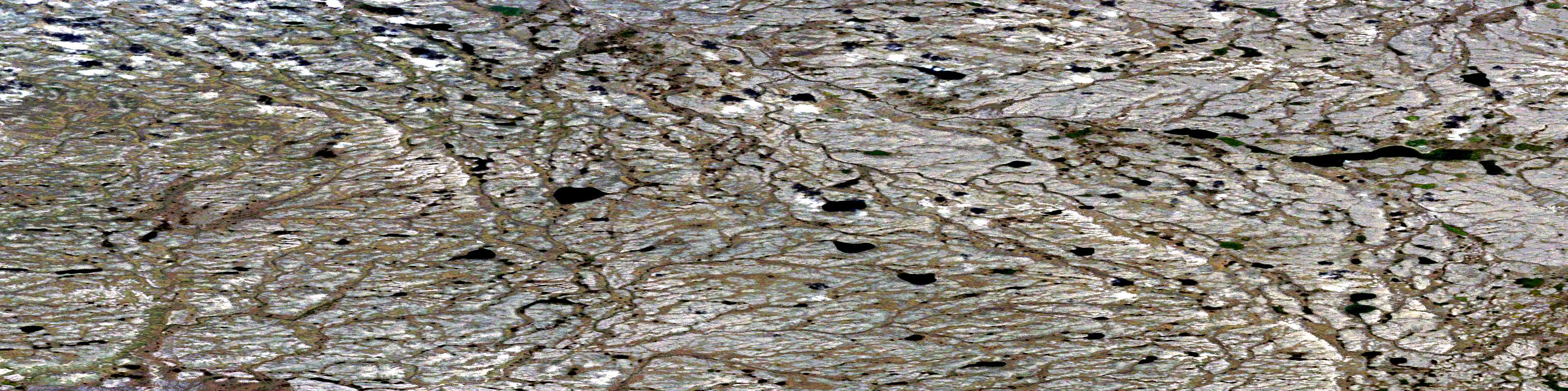
Sungukpaluk Hill Satellite Image Map
Download Free Aerial Photo 098A11 at 1:50,000 scale
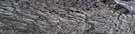
Sungukpaluk Hill Satellite Imagery
To view this satellite map, mouse over the air photo on the right.
You can also download this satellite image map for free:
098A11 Sungukpaluk Hill high-resolution satellite image map.
Maps for the Sungukpaluk Hill aerial map sheet 098A11 at 1:50,000 scale are also available in these versions:
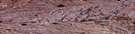
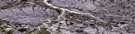
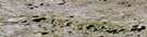
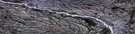
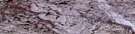
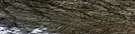
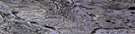
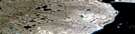
Sungukpaluk Hill Surrounding Area Aerial Photo Maps
 |
 |
 |
 |
 |
 |
 |
 |
 |
 |
 |
 |
 |
 |
 |
 |
© Department of Natural Resources Canada. All rights reserved.
Sungukpaluk Hill Gazetteer
The following places can be found on satellite image map 098A11 Sungukpaluk Hill:
Sungukpaluk Hill Satellite Image: Islands
Banks IslandSungukpaluk Hill Satellite Image: Mountains
Sungukpaluk HillSungukpaluk Hill Satellite Image: Conservation areas
Banks Island No. 1 Bird SanctuaryRefuge d'oiseaux de l'Île-Banks-Numéro-Un
Refuge d'oiseaux No. 1 de l'île Banks
Sungukpaluk Hill Satellite Image: Rivers
Kaligaluk RiverSungukpaluk Hill Satellite Image: Territory
Northwest TerritoriesTerritoires du Nord-Ouest
© Department of Natural Resources Canada. All rights reserved.
098A Related Maps:
098A Jesse Harbour098A01 No Title
098A02 No Title
098A03 No Title
098A04 No Title
098A05 Burnt Tent Lake
098A06 No Title
098A07 No Title
098A08 No Title
098A09 No Title
098A10 No Title
098A11 Sungukpaluk Hill
098A12 No Title
098A13 No Title
098A14 Storkerson Lake
098A15 No Title
098A16 No Title
