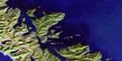
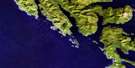
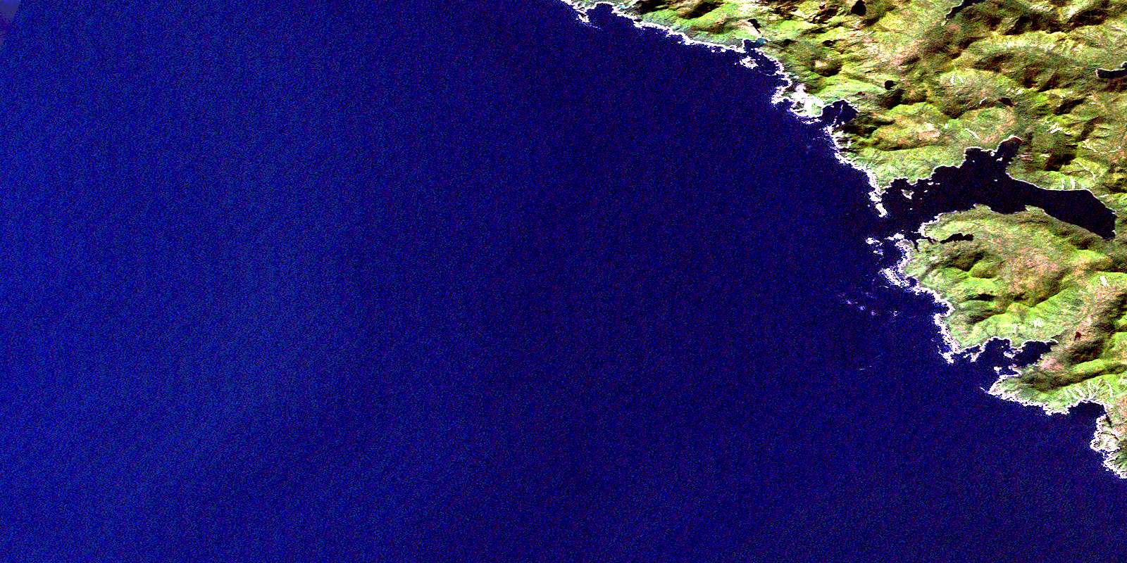
Gowgaia Bay Satellite Image Map
Download Free Aerial Photo 103B05 at 1:50,000 scale
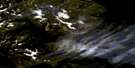
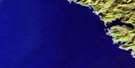
Gowgaia Bay Satellite Imagery
To view this satellite map, mouse over the air photo on the right.
You can also download this satellite image map for free:
103B05 Gowgaia Bay high-resolution satellite image map.
Maps for the Gowgaia Bay aerial map sheet 103B05 at 1:50,000 scale are also available in these versions:
Gowgaia Bay Surrounding Area Aerial Photo Maps
 |
|||
 |
 |
||
 |
 |
||
 |
 |
© Department of Natural Resources Canada. All rights reserved.
Gowgaia Bay Gazetteer
The following places can be found on satellite image map 103B05 Gowgaia Bay:
Gowgaia Bay Satellite Image: Bays
Goski BayGowgaia Bay
Hutton Inlet
Marshall Inlet
Puffin Cove
Soulsby Cove
Wells Cove
Yakulanas Bay
Gowgaia Bay Satellite Image: Capes
Commander PointGowgaia Point
Yakulanas Point
Gowgaia Bay Satellite Image: Islands
Goski IsletGowdas Islands
Moresby Island
Nangwai Islands
Gowgaia Bay Satellite Image: Mountains
Queen Charlotte MountainsGowgaia Bay Satellite Image: Conservation areas
Gwaii Haanas National Park Reserve and Haida Heritage SiteRéserve de parc national et site du patrimoine haïda Gwaii Haanas
Gowgaia Bay Satellite Image: Shoals
Gowdas RocksNangwai Rock
© Department of Natural Resources Canada. All rights reserved.
