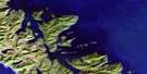
Darwin Sound Satellite Image Map
Download Free Aerial Photo 103B12 at 1:50,000 scale
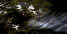
Darwin Sound Satellite Imagery
To view this satellite map, mouse over the air photo on the right.
You can also download this satellite image map for free:
103B12 Darwin Sound high-resolution satellite image map.
Maps for the Darwin Sound aerial map sheet 103B12 at 1:50,000 scale are also available in these versions:
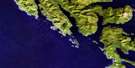
Darwin Sound Surrounding Area Aerial Photo Maps
 |
|||
 |
 |
||
 |
 |
||
 |
 |
© Department of Natural Resources Canada. All rights reserved.
Darwin Sound Gazetteer
The following places can be found on satellite image map 103B12 Darwin Sound:
Darwin Sound Satellite Image: Bays
Anna InletAtli Inlet
Barry Inlet
Beljay Bay
Beresford Inlet
Bigsby Inlet
Blue Heron Bay
Botany Bay
Botany Inlet
Crescent Inlet
De la Beche Inlet
Echo Harbour
Fairfax Inlet
False Bay
Haswell Bay
Hutton Inlet
Juan Perez Sound
Klunkwoi Bay
Kostan Inlet
Kwoon Cove
Lyell Bay
McEchran Cove
Mike Inlet
Murray Cove
Pocket Inlet
Powrivco Bay
Richardson Inlet
Sac Bay
Sedgwick Bay
Stevenson Cove
Sunday Inlet
Takelley Cove
Tasu Sound
Wright Inlet
Darwin Sound Satellite Image: Capes
Amur PointBeljay Point
Bent Tree Point
Bigsby Point
Corlett Peninsula
Crescent Point
Darwin Point
Echo Point
Finger Point
Hoskins Point
Hutton Point
Jeremiah Point
Kostan Point
Lyell Point
Powrivco Point
Richardson Point
Sedgwick Point
Skudas Point
Tanu Point
Tsinga Point
Ustas Point
Darwin Sound Satellite Image: Channels
Darwin SoundFaraday Passage
Hoya Passage
Richardson Passage
Shuttle Passage
Tanu Passage
Darwin Sound Satellite Image: Islands
Bischof IslandsDe la Beche Island
Dog Island
Faraday Island
Gil Island
Gil Islet
Hoskins Islets
Hutton Island
Îles de la Reine-Charlotte
Lyell Island
Marco Island
Moresby Island
Queen Charlotte Islands
Raven Island
Richardson Island
Shuttle Island
Sivart Island
Stansung Islets
Tanoo Island
Tanu Island
Topping Islands
Darwin Sound Satellite Image: Lakes
Anna LakeFairfax Lake
Skittagetan Lagoon
Summit Lakes
Darwin Sound Satellite Image: Mountains
Apex MountainMount Laysen
Queen Charlotte Mountains
San Christoval Mountains
San Christoval Range
Darwin Sound Satellite Image: Conservation areas
Gwaii Haanas National Park Reserve and Haida Heritage SiteRéserve de parc national et site du patrimoine haïda Gwaii Haanas
Darwin Sound Satellite Image: Rivers
Fairfax CreekGate Creek
Longfellow Creek
Salmon River
Sandy Creek
Windy Bay Creek
Darwin Sound Satellite Image: Shoals
Commodore RockKelo Rocks
Klunkwoi Rocks
Kogangas Rock
Kul Rocks
Morgan Rock
Perez Shoal
Shuttle Reef
Sivart Rock
Darwin Sound Satellite Image: Unincorporated areas
Lockeport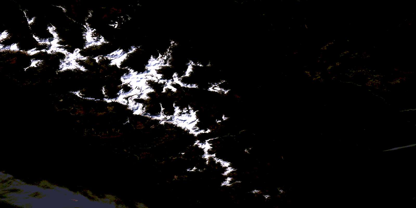
© Department of Natural Resources Canada. All rights reserved.
