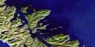
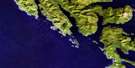
Kunghit Island Satellite Image Map
Download Free Aerial Photo 103B03 at 1:50,000 scale
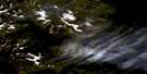
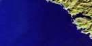
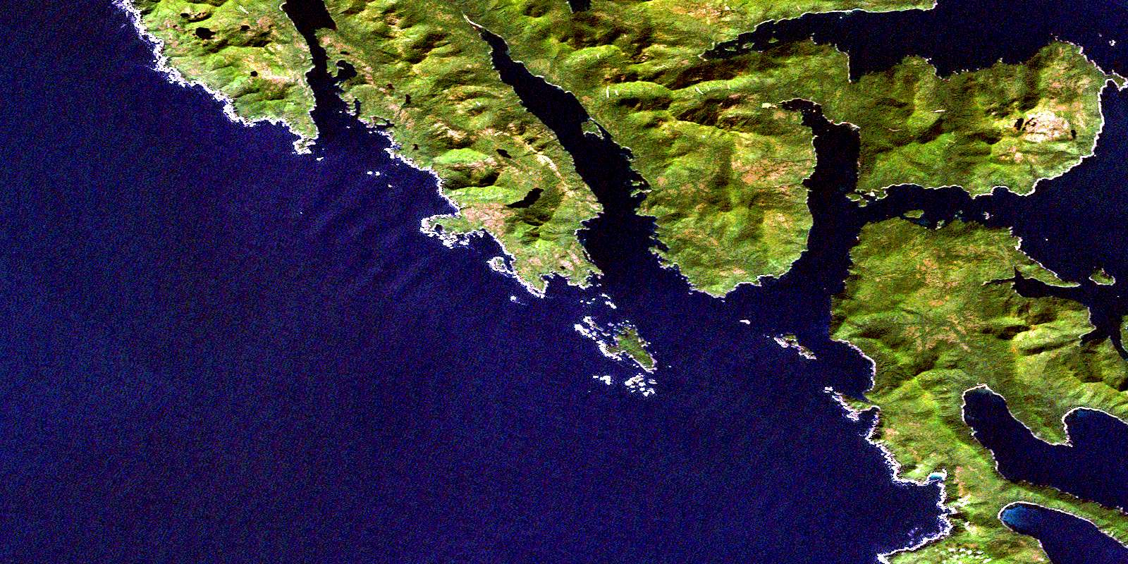
Kunghit Island Satellite Imagery
To view this satellite map, mouse over the air photo on the right.
You can also download this satellite image map for free:
103B03 Kunghit Island high-resolution satellite image map.
Maps for the Kunghit Island aerial map sheet 103B03 at 1:50,000 scale are also available in these versions:
Kunghit Island Surrounding Area Aerial Photo Maps
 |
|||
 |
 |
||
 |
 |
||
 |
 |
© Department of Natural Resources Canada. All rights reserved.
Kunghit Island Gazetteer
The following places can be found on satellite image map 103B03 Kunghit Island:
Kunghit Island Satellite Image: Bays
Anvil CoveBalcom Inlet
Carpenter Bay
Flamingo Inlet
Gilbert Bay
Grays Cove
Heater Harbour
Howe Bay
Huston Inlet
Koya Bay
Louscoone Inlet
Luxana Bay
Raspberry Cove
Rose Harbour
Rose Inlet
Short Inlet
Small Cove
South Cove
Sperm Bay
Staki Bay
Treat Bay
Kunghit Island Satellite Image: Capes
Arnold PointBarber Point
Blackburn Peninsula
Bowles Point
Cadman Point
Cape Fanny
Cape Freeman
Catherine Point
Crooked Point
Etches Point
Forsyth Point
Gaowina Point
Hancock Point
Hornby Point
Ingraham Point
Iron Point
Kendrick Point
Kiju Point
Koya Point
Larsen Point
Louscoone Point
McLean Fraser Point
Moore Head
Nagas Point
Ninstints Point
Orion Point
Point Langford
Snub Point
Staki Point
Tuga Point
Kunghit Island Satellite Image: Channels
Gaudin PassageHouston Stewart Channel
Kunghit Island Satellite Image: Indian Reserves
Réserve indienne Metso A Choot 23Tsaz Cheh Koh Indian Reserve 24
Kunghit Island Satellite Image: Islands
Annette IslandAnthony Island
Charles Islands
Ellen Island
Fairfax Island
Flat Rock Island
Flatrock Island
Gordon Islands
High Island
Îles de la Reine-Charlotte
Kunghit Island
Langtry Island
Moresby Island
Queen Charlotte Islands
Ross Island
Skindaskun Island
Kunghit Island Satellite Image: Lakes
Shrimp LakeKunghit Island Satellite Image: Mountains
Queen Charlotte MountainsKunghit Island Satellite Image: Conservation areas
Anthony Island (South Moresby) World Heritage SiteAnthony Island Park
Gwaii Haanas National Park Reserve and Haida Heritage Site
Lieu historique national du Canada de Nan Sdins
Nan Sdins National Historic Site of Canada
Réserve de parc national et site du patrimoine haïda Gwaii Haanas
SGang Gwaay World Heritage Site
Site du patrimoine mondial de l'Île Anthony (Moresby-Sud)
Site du patrimoine mondial SGang Gwaay
Kunghit Island Satellite Image: Rivers
Fanny CreekSedmond Creek
Sedmond River
Shrimp Creek
Kunghit Island Satellite Image: Shoals
Adam RocksAnvil Rock
Billington Rocks
Crowell Rock
Denny Rocks
Germania Rock
Haydon Rock
Head Rock
Henderson Rocks
Ibbertson Banks
Langford Shoals
MacLeod Shoal
Nagas Rocks
Pincher Rocks
Quadra Rocks
Samuel Rock
Sargison Reef
Trevan Rock
Washington Rock
Kunghit Island Satellite Image: Unincorporated areas
NinstintsRose Harbour
© Department of Natural Resources Canada. All rights reserved.
