Masset Satellite Image Map
Download Free Aerial Photo 103K01 at 1:50,000 scale
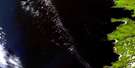
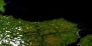
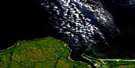
Masset Satellite Imagery
To view this satellite map, mouse over the air photo on the right.
You can also download this satellite image map for free:
103K01 Masset high-resolution satellite image map.
Maps for the Masset aerial map sheet 103K01 at 1:50,000 scale are also available in these versions:
Masset Surrounding Area Aerial Photo Maps
 |
 |
 |
© Department of Natural Resources Canada. All rights reserved.
Masset Gazetteer
The following places can be found on satellite image map 103K01 Masset:
Masset Satellite Image: Bays
Delkatla InletMasset Harbour
McIntyre Bay
Sturgess Bay
Masset Satellite Image: Beaches
Inner BarNorth Beach
Outer Bar
Masset Satellite Image: Capes
Cape EdensawEntry Point
Harrison Point
Jacob Point
Rooney Point
Shingle Spit
Skonun Point
Westacott Point
Wiah Point
Masset Satellite Image: Channels
Dixon EntranceMasset Sound
Virago Sound
Masset Satellite Image: Indian Reserves
Masset Indian Reserve 1Meagwan Indian Reserve 8
Réserve indienne Masset 1
Réserve indienne Meagwan 8
Réserve indienne Saouchten 18
Réserve indienne Yan 7
Saouchten Indian Reserve 18
Yan Indian Reserve 7
Masset Satellite Image: Islands
Graham IslandGrassy Islet
Hidden Island
Maast Island
Queen Charlotte Islands
Refuge Island
Striae Islands
Masset Satellite Image: Lakes
Estrado LagoonMasset Satellite Image: Military areas
Canadian Forces Station MassetStation des Forces canadiennes Masset
Masset Satellite Image: Mountains
Mission HillMasset Satellite Image: Rivers
Chown BrookChristie River
Delkatla Creek
Hancock River
Otun River
Skonun River
Masset Satellite Image: Shoals
Davy LedgeSusan Bank
Troup Bank
Venture Banks
Wimble Rocks
Masset Satellite Image: Unincorporated areas
DelkatlaHaida
Ka-Yung
Masset
Massett
Mia-Kwun
Old Masset
Old Massett
Yan
Masset Satellite Image: Villages
Masset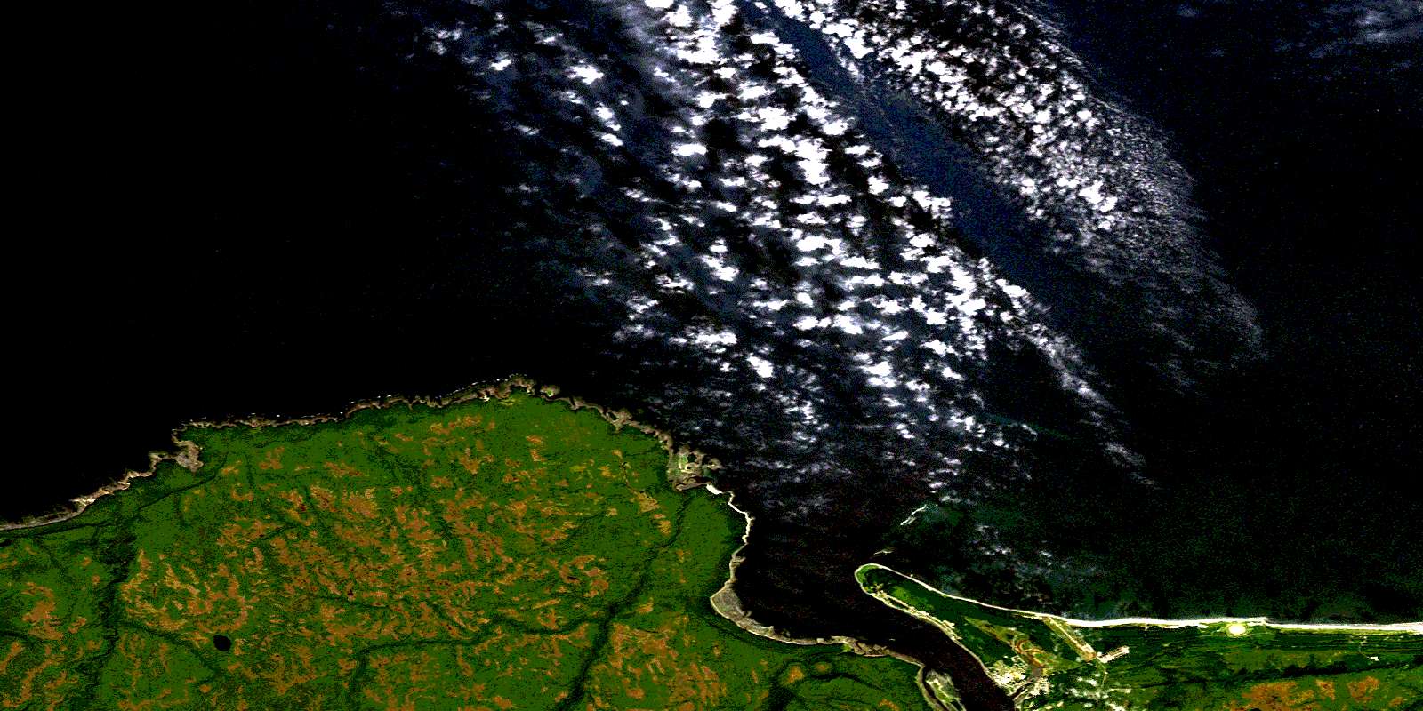
© Department of Natural Resources Canada. All rights reserved.
