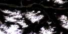
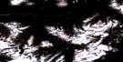
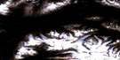
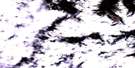
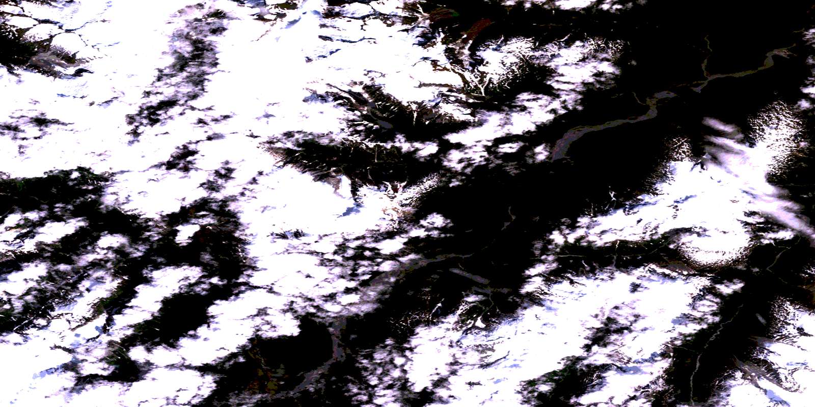
Unuk River Satellite Image Map
Download Free Aerial Photo 104B07 at 1:50,000 scale
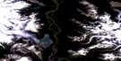
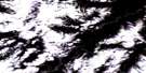
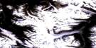
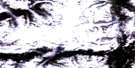
Unuk River Satellite Imagery
To view this satellite map, mouse over the air photo on the right.
You can also download this satellite image map for free:
104B07 Unuk River high-resolution satellite image map.
Maps for the Unuk River aerial map sheet 104B07 at 1:50,000 scale are also available in these versions:
Unuk River Surrounding Area Aerial Photo Maps
 |
 |
 |
 |
 |
 |
 |
 |
 |
 |
 |
|
 |
© Department of Natural Resources Canada. All rights reserved.
Unuk River Gazetteer
The following places can be found on satellite image map 104B07 Unuk River:
Unuk River Satellite Image: Glaciers
Clara Smith GlacierLehua Glacier
Unuk River Satellite Image: Lakes
Border LakeFlory Lake
Hawilson Lake
Lava Lakes
Pearly Lake
Unuk River Satellite Image: Mountains
Boundary RangesCoast Mountains
Glacier Dome
Lehua Mountain
McQuillan Ridge
Mosheim Dome
Mount Dunn
Mount Middleton
Mount Stoeckl
Nevis Ridge
Olatine Mountain
Ptarmigan Peak
The Beak
The Volcano
Unuk River Satellite Image: Major municipal/district area - major agglomerations
Regional District of Kitimat-StikineUnuk River Satellite Image: Conservation areas
Border Lake ParkLava Forks Park
Unuk River Satellite Image: Rivers
Boulder CreekCanyon Creek
Cebuck Creek
Fewright Creek
Flory Creek
Glacier Creek
Gracey Creek
Harrymel Creek
Hawilson Creek
Ketchum Creek
King Creek
Lake Creek
Lava Fork
Olatine Creek
South Unuk River
Sulphur Creek
Sulphurets Creek
Unuk River
Unuk River Satellite Image: Valleys
Second CanyonThird Canyon
© Department of Natural Resources Canada. All rights reserved.
104B Related Maps:
104B Iskut River104B01 Leduc Glacier
104B06 Mt Lewis Cass
104B07 Unuk River
104B08 Frank Mackie Glacier
104B09 John Peaks
104B10 Snippaker Creek
104B11 Craig River
104B12 Katete River
104B13 Great Glacier
104B14 Hoodoo Mountain
104B15 Forrest Kerr Creek
104B16E Bob Quinn Lake
104B16W Bob Quinn Lake
