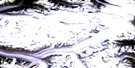
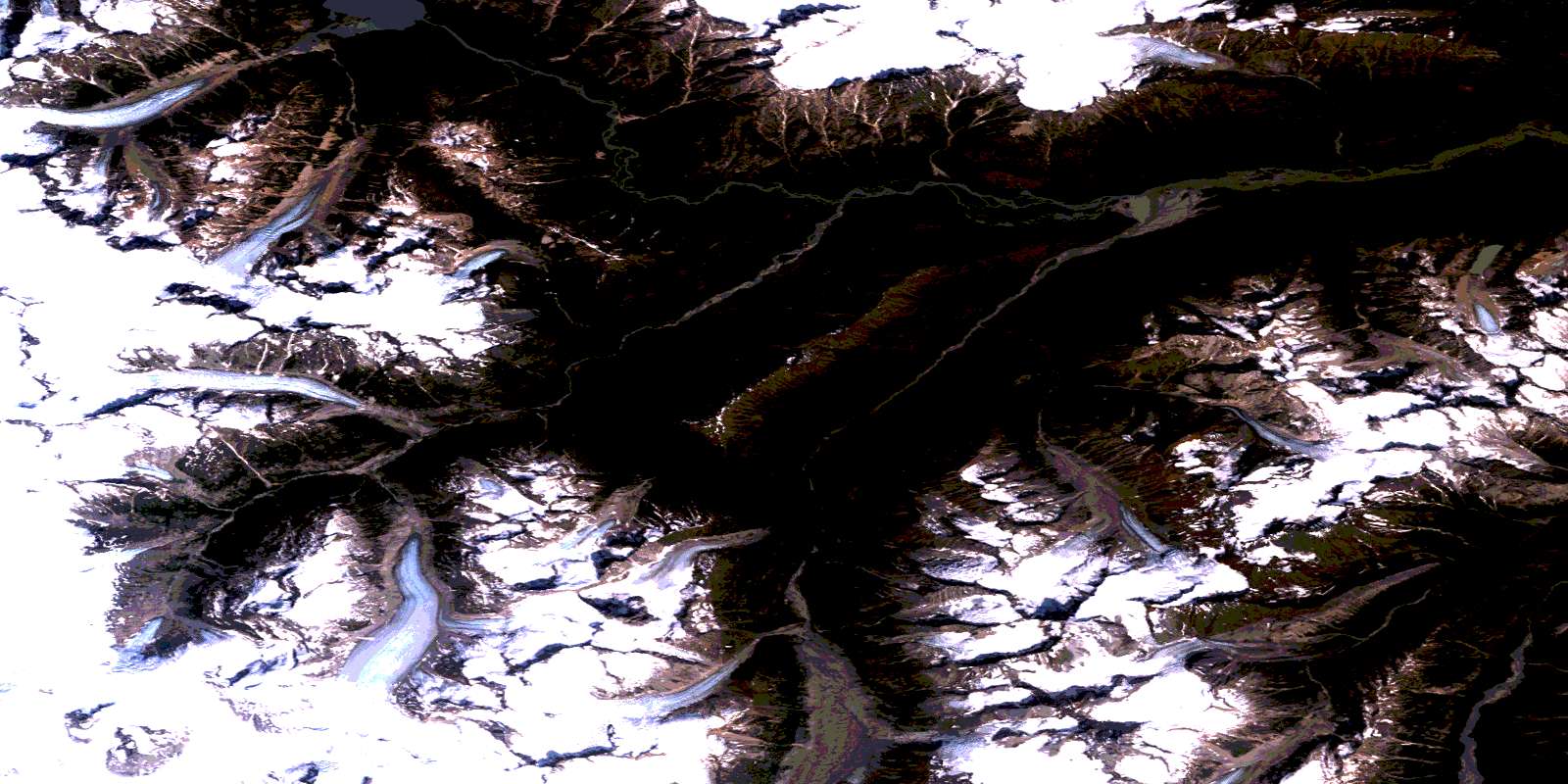
Dirst Creek Satellite Image Map
Download Free Aerial Photo 104F09 at 1:50,000 scale
Dirst Creek Satellite Imagery
To view this satellite map, mouse over the air photo on the right.
You can also download this satellite image map for free:
104F09 Dirst Creek high-resolution satellite image map.
Maps for the Dirst Creek aerial map sheet 104F09 at 1:50,000 scale are also available in these versions:
Dirst Creek Surrounding Area Aerial Photo Maps
 |
 |
||
 |
 |
||
 |
|||
 |
© Department of Natural Resources Canada. All rights reserved.
Dirst Creek Gazetteer
The following places can be found on satellite image map 104F09 Dirst Creek:
Dirst Creek Satellite Image: Glaciers
Triumph GlacierDirst Creek Satellite Image: Lakes
Chutine LakeDirst Creek Satellite Image: Mountains
Boundary RangesCoast Mountains
Dirst Creek Satellite Image: Major municipal/district area - major agglomerations
Regional District of Kitimat-StikineDirst Creek Satellite Image: Rivers
Chutine RiverDirst Creek
Pendant Creek
Piggly Creek
Triumph Creek
Ugly Creek
© Department of Natural Resources Canada. All rights reserved.
