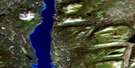
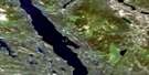
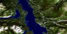
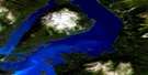
Mount Minto Satellite Image Map
Download Free Aerial Photo 104N13 at 1:50,000 scale
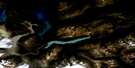
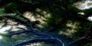
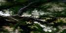
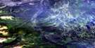
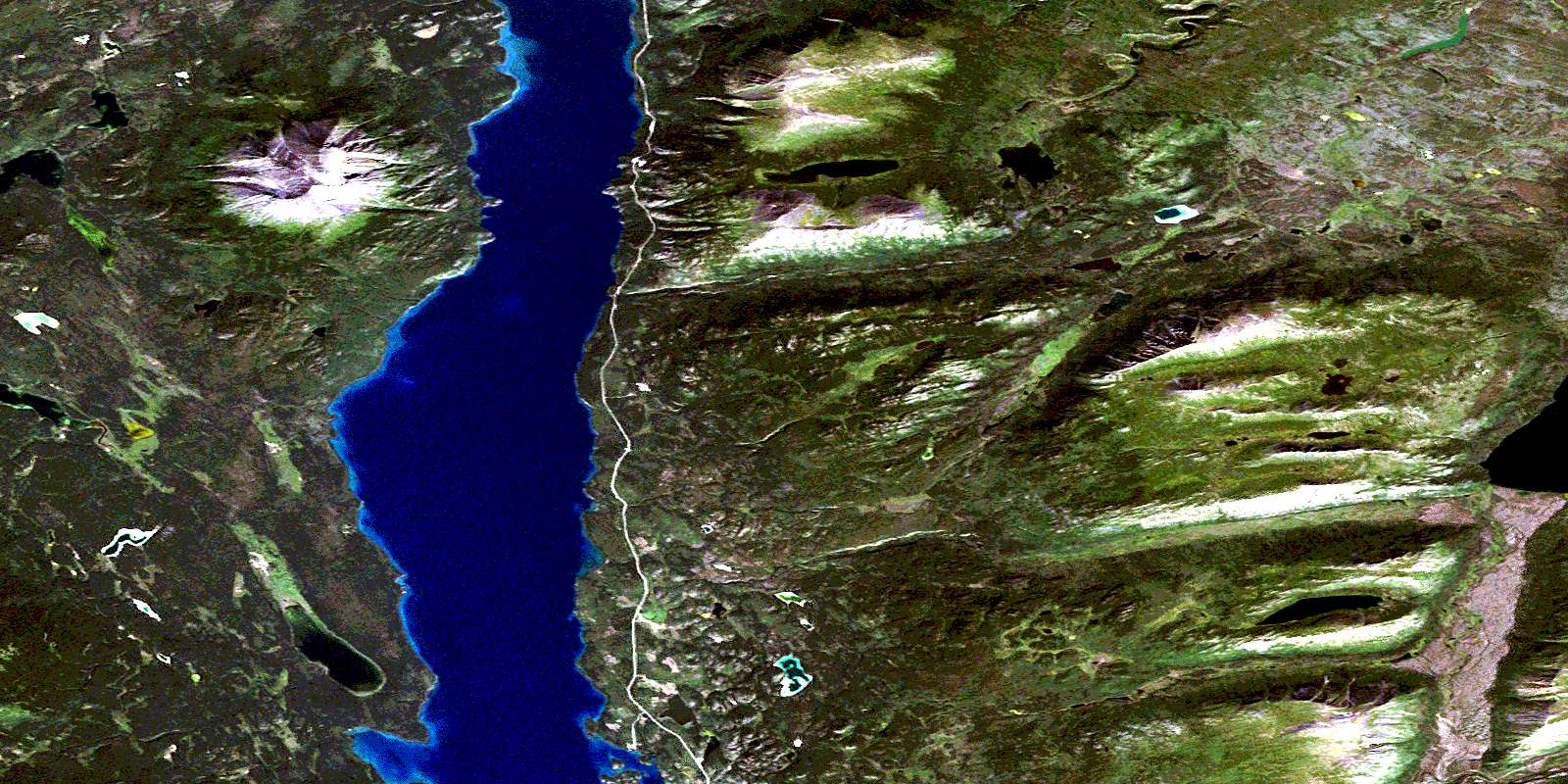
Mount Minto Satellite Imagery
To view this satellite map, mouse over the air photo on the right.
You can also download this satellite image map for free:
104N13 Mount Minto high-resolution satellite image map.
Maps for the Mount Minto aerial map sheet 104N13 at 1:50,000 scale are also available in these versions:
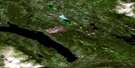
Mount Minto Surrounding Area Aerial Photo Maps
 |
 |
 |
 |
 |
 |
 |
 |
 |
 |
 |
 |
 |
 |
 |
 |
© Department of Natural Resources Canada. All rights reserved.
Mount Minto Gazetteer
The following places can be found on satellite image map 104N13 Mount Minto:
Mount Minto Satellite Image: Bays
Fox BayLogger Bay
Telegraph Bay
Mount Minto Satellite Image: Capes
Cottonwood PointMount Minto Satellite Image: Lakes
Atlin LakeCliff Lake
Grayling Lake
Indian Lake
Jones Lake
Porter Lake
Shaker Lake
Mount Minto Satellite Image: Mountains
Black MountainHalcro Peak
Mount Carter
Mount Hitchcock
Mount Minto
Red Mountain
Steamboat Mountain
Tagish Highland
Mount Minto Satellite Image: Plains
Teslin PlateauMount Minto Satellite Image: Rivers
Base Camp CreekDavenport Creek
Fourth of July Creek
Glacier Creek
Grayling Creek
High Creek
Hitchcock Creek
Indian Creek
Shaker Creek
Telegraph Creek
© Department of Natural Resources Canada. All rights reserved.
104N Related Maps:
104N Atlin104N01E Nakina Lake
104N01W Nakina Lake
104N02E Nakina
104N02W Nakina
104N03 Sloko River
104N04 Sloko Lake
104N05 Teresa Island
104N06 Dixie Lake
104N07 Bell Lake
104N08 Hayes Peak
104N09 Goodwin Creek
104N10 Eva Lake
104N11 Surprise Lake
104N12 Atlin
104N13 Mount Minto
104N14 Consolation Creek
104N15 Gladys Lake
104N16 Gladys River
