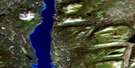
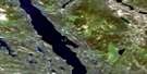
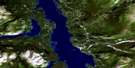
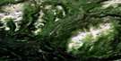
Dixie Lake Satellite Image Map
Download Free Aerial Photo 104N06 at 1:50,000 scale
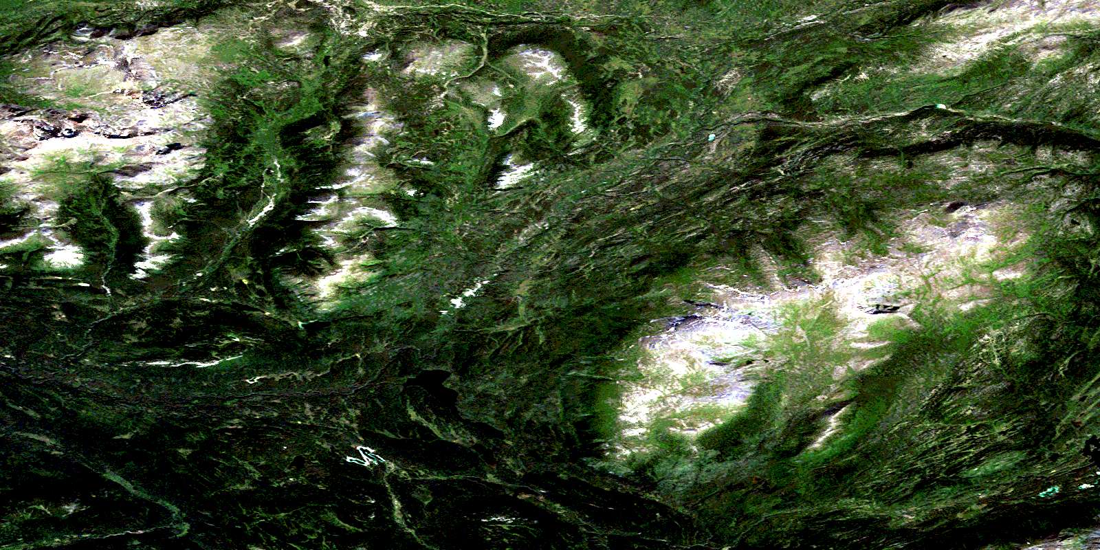
Dixie Lake Satellite Imagery
To view this satellite map, mouse over the air photo on the right.
You can also download this satellite image map for free:
104N06 Dixie Lake high-resolution satellite image map.
Maps for the Dixie Lake aerial map sheet 104N06 at 1:50,000 scale are also available in these versions:
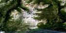
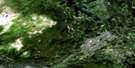
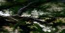
Dixie Lake Surrounding Area Aerial Photo Maps
 |
 |
 |
 |
 |
 |
 |
 |
 |
 |
 |
 |
 |
 |
 |
 |
© Department of Natural Resources Canada. All rights reserved.
Dixie Lake Gazetteer
The following places can be found on satellite image map 104N06 Dixie Lake:
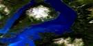
Dixie Lake Satellite Image: Lakes
Bell LakeDixie Lake
Pike Lake
Skeleton Lake
Tawina Lake
Dixie Lake Satellite Image: Mountains
Johnson RangeLaurie Range
Lina Range
Mount McMaster
Sentinel Mountain
Tagish Highland
Dixie Lake Satellite Image: Conservation areas
Atlin ParkDixie Lake Satellite Image: Plains
Teslin PlateauDixie Lake Satellite Image: Rivers
Baxter CreekBlind Creek
Boyer Creek
Bull Creek
Bull Creek
Burdette Creek
Canyon Creek
Eldorado Creek
Fenn Creek
Fox Creek
Mahar Creek
McKee Creek
McLaren Creek
Nancy Creek
Noland Creek
O'Donnel River
Pike River
Silver Salmon River
Simpson Creek
Slate Creek
Stephenson Creek
Tawina Creek
Wilson Creek
© Department of Natural Resources Canada. All rights reserved.
104N Related Maps:
104N Atlin104N01E Nakina Lake
104N01W Nakina Lake
104N02E Nakina
104N02W Nakina
104N03 Sloko River
104N04 Sloko Lake
104N05 Teresa Island
104N06 Dixie Lake
104N07 Bell Lake
104N08 Hayes Peak
104N09 Goodwin Creek
104N10 Eva Lake
104N11 Surprise Lake
104N12 Atlin
104N13 Mount Minto
104N14 Consolation Creek
104N15 Gladys Lake
104N16 Gladys River
