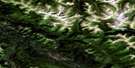
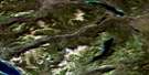
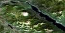
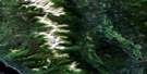
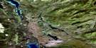
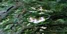
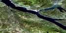
Squanga Lake Satellite Image Map
Download Free Aerial Photo 105C05 at 1:50,000 scale
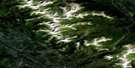
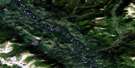
Squanga Lake Satellite Imagery
To view this satellite map, mouse over the air photo on the right.
You can also download this satellite image map for free:
105C05 Squanga Lake high-resolution satellite image map.
Maps for the Squanga Lake aerial map sheet 105C05 at 1:50,000 scale are also available in these versions:
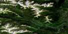
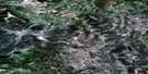
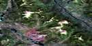
Squanga Lake Surrounding Area Aerial Photo Maps
 |
 |
 |
 |
 |
 |
 |
 |
 |
 |
 |
 |
 |
 |
 |
 |
© Department of Natural Resources Canada. All rights reserved.
Squanga Lake Gazetteer
The following places can be found on satellite image map 105C05 Squanga Lake:
Squanga Lake Satellite Image: Lakes
Cabin LakeDalayee Lake
Little Atlin Lake
Little Squanga Lake
Seaforth Lake
Squan Lake
Squanga Lake
Summit Lake
Wolf Lake
Squanga Lake Satellite Image: Mountains
Mount WhiteSquanga Lake Satellite Image: Plains
Yukon PlateauSquanga Lake Satellite Image: Rivers
Hall CreekHaunka Creek
Johns Creek
Johns Creek
Judas Creek
Little Atlin Creek
Seaforth Creek
Squanga Creek
Stony Creek
Teenah Creek
Teslin River
Squanga Lake Satellite Image: Unincorporated areas
Jakes Corner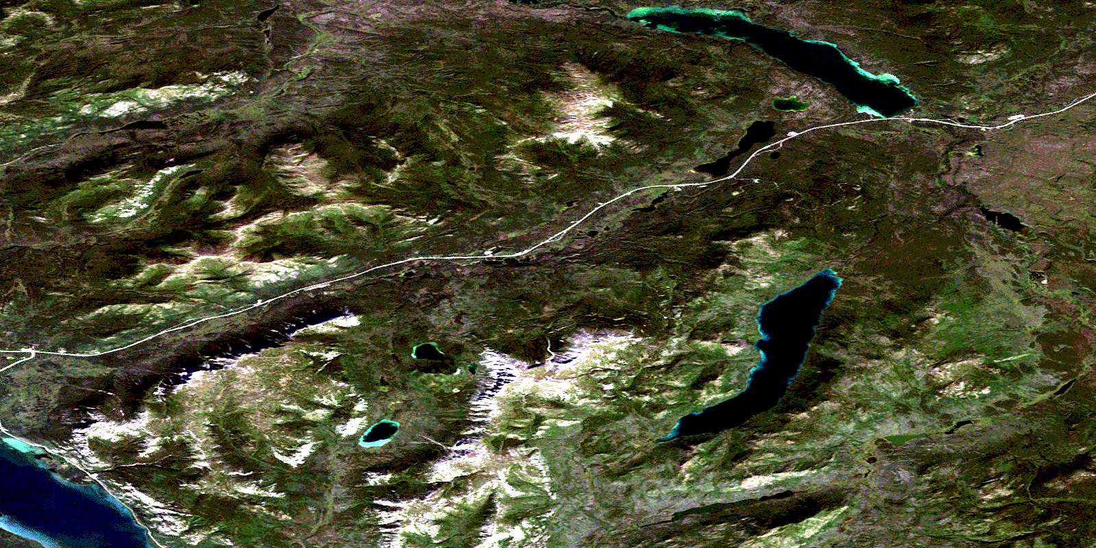
© Department of Natural Resources Canada. All rights reserved.
105C Related Maps:
105C Teslin105C01 Morley Lake
105C02 Teslin
105C03E Mount Bryde
105C03W Mount Bryde
105C04 Lubbock River
105C05 Squanga Lake
105C06 Brooks Brook
105C07 Lone Tree Creek
105C08 English Creek
105C09 Thirtymile Range
105C10 Thirtymile Creek
105C11 Mount Grant
105C12 Streak Mountain
105C13 Rosy Lake
105C14 Iron Creek
105C15 No Title
105C16 No Title
