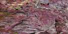
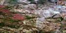
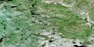
Burnt Lake Satellite Image Map
Download Free Aerial Photo 106P08 at 1:50,000 scale
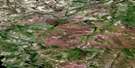
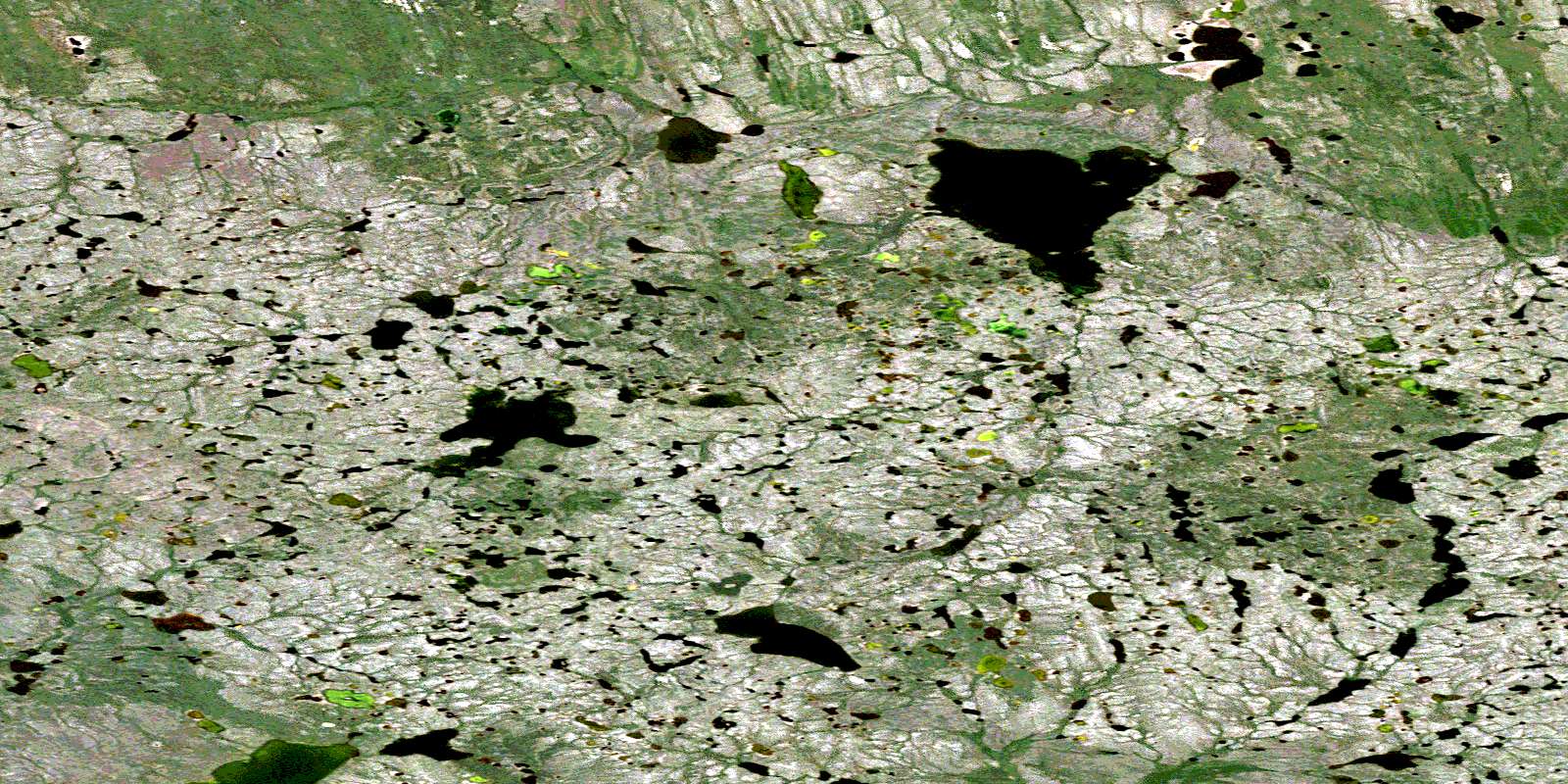
Burnt Lake Satellite Imagery
To view this satellite map, mouse over the air photo on the right.
You can also download this satellite image map for free:
106P08 Burnt Lake high-resolution satellite image map.
Maps for the Burnt Lake aerial map sheet 106P08 at 1:50,000 scale are also available in these versions:
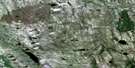
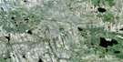
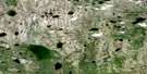
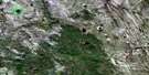
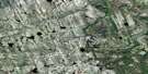
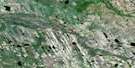
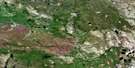
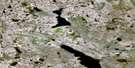
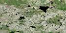
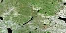
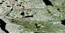
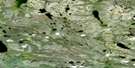
Burnt Lake Surrounding Area Aerial Photo Maps
 |
 |
 |
 |
 |
 |
 |
 |
 |
 |
 |
 |
 |
 |
 |
 |
© Department of Natural Resources Canada. All rights reserved.
Burnt Lake Gazetteer
The following places can be found on satellite image map 106P08 Burnt Lake:
Burnt Lake Satellite Image: Lakes
Burnt LakeBurnt Lake Satellite Image: Territory
Northwest TerritoriesTerritoires du Nord-Ouest
© Department of Natural Resources Canada. All rights reserved.
106P Related Maps:
106P Canot Lake106P01 Grass Lake
106P02 Ettchue Lake
106P03 No Title
106P04 No Title
106P05 No Title
106P06 No Title
106P07 Carcajou Lake
106P08 Burnt Lake
106P09 No Title
106P10 Big Grass Lake
106P11 Yatage Lakes
106P12 No Title
106P13 No Title
106P14 Yatage River
106P15 No Title
106P16 Raven Lake
