Smoke River Satellite Image Map
Download Free Aerial Photo 107D02 at 1:50,000 scale
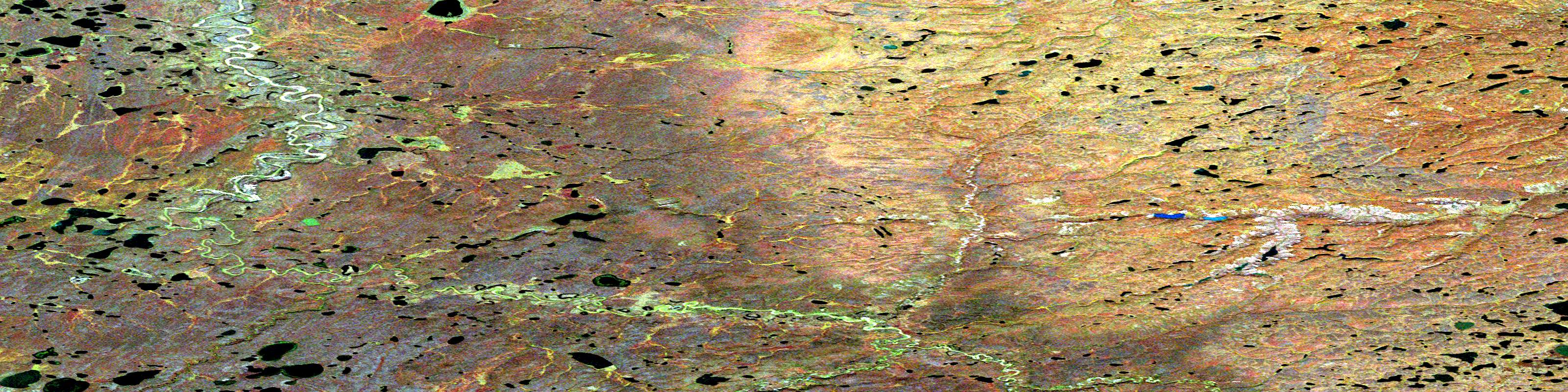
Smoke River Satellite Imagery
To view this satellite map, mouse over the air photo on the right.
You can also download this satellite image map for free:
107D02 Smoke River high-resolution satellite image map.
Maps for the Smoke River aerial map sheet 107D02 at 1:50,000 scale are also available in these versions:
Smoke River Surrounding Area Aerial Photo Maps
 |
 |
 |
 |
 |
 |
 |
 |
 |
 |
 |
 |
 |
 |
 |
 |
© Department of Natural Resources Canada. All rights reserved.
Smoke River Gazetteer
The following places can be found on satellite image map 107D02 Smoke River:
Smoke River Satellite Image: Rivers
Moose RiverSmoke River
Smoke River Satellite Image: Territory
Northwest TerritoriesTerritoires du Nord-Ouest
© Department of Natural Resources Canada. All rights reserved.
107D Related Maps:
107D Stanton107D01 No Title
107D02 Smoke River
107D03 No Title
107D04 Jonas Lake
107D05E No Title
107D05W No Title
107D06E Thumb Island
107D06W No Title
107D07 Kaglik Lake
107D08 Husky Bend
107D09 Mitten Cove
107D10 Tingmiak Lake
107D11E Campbell Island
107D11W Campbell Island
107D12E No Title
107D12W No Title
107D13E Atkinson Point
107D13W Atkinson Point
107D14E No Title
107D14W No Title
107D15E No Title
107D15W No Title
107D16E Stanton
107D16W Stanton
