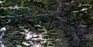
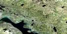
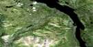
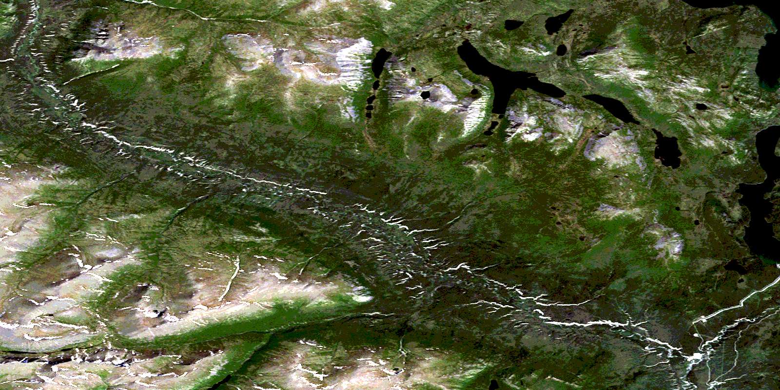
Ittlemit Lake Satellite Image Map
Download Free Aerial Photo 115H03 at 1:50,000 scale
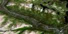
Ittlemit Lake Satellite Imagery
To view this satellite map, mouse over the air photo on the right.
You can also download this satellite image map for free:
115H03 Ittlemit Lake high-resolution satellite image map.
Maps for the Ittlemit Lake aerial map sheet 115H03 at 1:50,000 scale are also available in these versions:
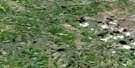
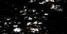
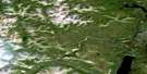
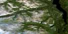
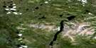
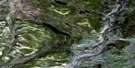
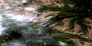
Ittlemit Lake Surrounding Area Aerial Photo Maps
 |
 |
 |
 |
 |
 |
 |
 |
 |
 |
 |
 |
 |
 |
 |
 |
© Department of Natural Resources Canada. All rights reserved.
Ittlemit Lake Gazetteer
The following places can be found on satellite image map 115H03 Ittlemit Lake:
Ittlemit Lake Satellite Image: Lakes
Aishihik LakeCanyon Lake
Dullmitt Lake
Ittlemit Lake
Ittlemit Lake Satellite Image: Mountains
Mount AramisMount Athos
Mount Bark
Mount Porthos
Ruby Range
The Three Guardsmen
Ittlemit Lake Satellite Image: Plains
Kluane PlateauYukon Plateau
Ittlemit Lake Satellite Image: Rivers
Aishihik RiverBig Mountain Creek
Marshall Creek
West Aishihik River
© Department of Natural Resources Canada. All rights reserved.
115H Related Maps:
115H Aishihik Lake115H01E Mount Cooper
115H01W Mount Cooper
115H02E Hutshi Lakes
115H02W Hutshi Lakes
115H03 Ittlemit Lake
115H04 Mckinley Creek
115H05 Sekulmun Lake
115H06 Aishihik Lake
115H07E Hopkins Lake
115H07W Hopkins Lake
115H08E Vowel Mountain
115H08W Vowel Mountain
115H09E Kirkland Creek
115H09W Kirkland Creek
115H10E Macintosh Lake
115H10W Macintosh Lake
115H11 Tlansanlin Creek
115H12 Albert Creek
115H13 Schist Creek
115H14 Mackintosh Creek
115H15 Upper Nisling River
115H16E Mount Morrison
115H16W Mount Morrison
