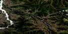
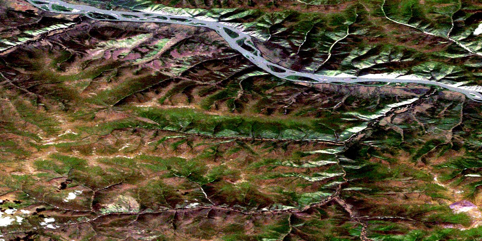
Coffee Creek Satellite Image Map
Download Free Aerial Photo 115J14 at 1:50,000 scale
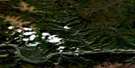
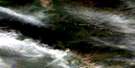
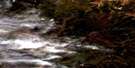
Coffee Creek Satellite Imagery
To view this satellite map, mouse over the air photo on the right.
You can also download this satellite image map for free:
115J14 Coffee Creek high-resolution satellite image map.
Maps for the Coffee Creek aerial map sheet 115J14 at 1:50,000 scale are also available in these versions:
Coffee Creek Surrounding Area Aerial Photo Maps
 |
 |
 |
 |
 |
 |
 |
 |
 |
 |
 |
 |
 |
 |
 |
 |
© Department of Natural Resources Canada. All rights reserved.
Coffee Creek Gazetteer
The following places can be found on satellite image map 115J14 Coffee Creek:
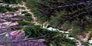
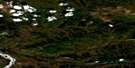
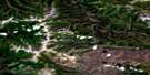
Coffee Creek Satellite Image: Mountains
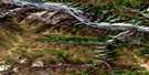
Dawson RangeCoffee Creek Satellite Image: Plains
Klondike PlateauYukon Plateau
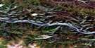
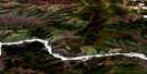
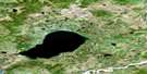
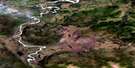
Coffee Creek Satellite Image: Rivers
Ballarat CreekCoffee Creek
Dan Man Creek
Fleuve Yukon
Halfway Creek
Independence Creek
Kirkman Creek
Lewes River
Touleary Creek
Yukon River
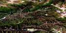
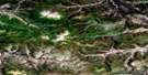
Coffee Creek Satellite Image: Road features
Coffee Creek TrailCoffee Creek Satellite Image: Unincorporated areas
Coffee CreekKirkman Creek
© Department of Natural Resources Canada. All rights reserved.
115J Related Maps:
115J Stevenson Ridge115J01 Klaza River
115J02 Onion Creek
115J03 No Title
115J04 Mackinnon Creek
115J05 Wellesley Lake
115J06 No Title
115J07 Mount Pattison
115J08 Apex Mountain
115J09 Selwyn River
115J10 Colorado Creek
115J11 Doyle Creek
115J12 Tom Creek
115J13 Home Creek
115J14 Coffee Creek
115J15 Britannia Creek
115J16 Cripple Creek
