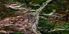
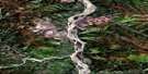
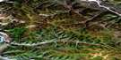
Granville Satellite Image Map
Download Free Aerial Photo 115O10 at 1:50,000 scale
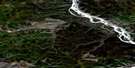
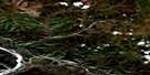
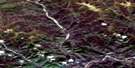
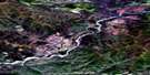
Granville Satellite Imagery
To view this satellite map, mouse over the air photo on the right.
You can also download this satellite image map for free:
115O10 Granville high-resolution satellite image map.
Maps for the Granville aerial map sheet 115O10 at 1:50,000 scale are also available in these versions:
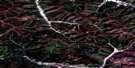
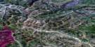
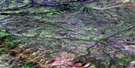
Granville Surrounding Area Aerial Photo Maps
 |
 |
 |
 |
 |
 |
 |
 |
 |
 |
 |
 |
 |
 |
 |
 |
© Department of Natural Resources Canada. All rights reserved.
Granville Gazetteer
The following places can be found on satellite image map 115O10 Granville:
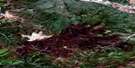
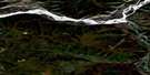
Granville Satellite Image: Mountains
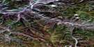
Eureka DomeGranville Satellite Image: Plains
Klondike PlateauYukon Plateau
Granville Satellite Image: Rivers
24 Pup34 Pup
37 Pup
51 Pup
71 Pup
Arkansas Creek
Australia Creek
Black Hills Creek
Bullfrog Creek
Burnham Creek
Cache Creek
Dominion Creek
Eagle Creek
Eureka Creek
Gold Run Creek
Grant Pup
Indian River
Laskey Creek
Melba Creek
Montana Creek
New Zealand Creek
Rob Roy Creek
Scribner Creek
Steele Creek
Stowe Creek
Sulphur Creek
Washington Creek
Wounded Moose Creek
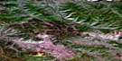
Granville Satellite Image: Unincorporated areas
DominionGold Run
Granville
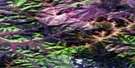
Granville Satellite Image: Valleys
Brimstone GulchWhitman Gulch

© Department of Natural Resources Canada. All rights reserved.
115O Related Maps:
115O Stewart River115O01 Pyroxene Mountain
115O02 Scroggie Creek
115O03 Thistle Creek
115O04 Los Angeles Creek
115O05 Excelsior Creek
115O06 Stewart River
115O07 Black Hills Creek
115O08 Rosebud Creek
115O09 Australia Mountain
115O10 Granville
115O11 Reindeer Mountain
115O12 Ogilvie
115O13 Garner Creek
115O14 Grand Forks
115O15 Flat Creek
115O16 Medrick Creek
