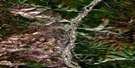
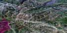
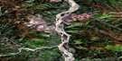
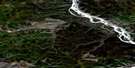
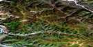
Grand Forks Satellite Image Map
Download Free Aerial Photo 115O14 at 1:50,000 scale
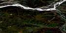
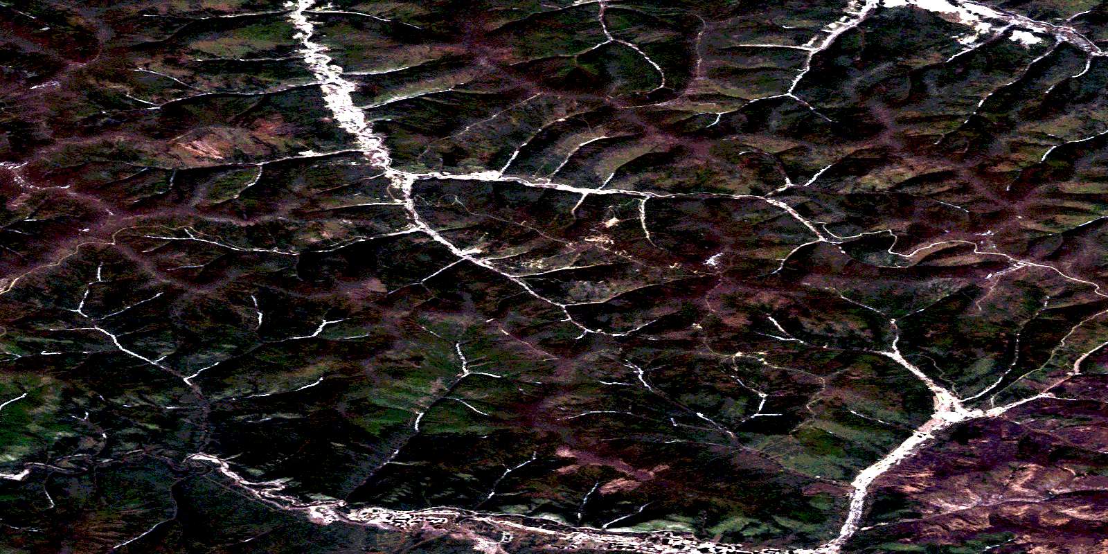
Grand Forks Satellite Imagery
To view this satellite map, mouse over the air photo on the right.
You can also download this satellite image map for free:
115O14 Grand Forks high-resolution satellite image map.
Maps for the Grand Forks aerial map sheet 115O14 at 1:50,000 scale are also available in these versions:
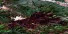
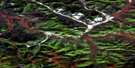
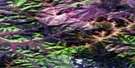
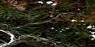
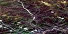
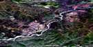
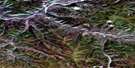
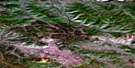
Grand Forks Surrounding Area Aerial Photo Maps
 |
 |
 |
 |
 |
 |
 |
 |
 |
 |
 |
 |
 |
 |
 |
 |
© Department of Natural Resources Canada. All rights reserved.
Grand Forks Gazetteer
The following places can be found on satellite image map 115O14 Grand Forks:
Grand Forks Satellite Image: Mountains
Mount BronsonGrand Forks Satellite Image: Conservation areas
Dredge No. 4 National Historic Site of CanadaLieu historique national du Canada de la Drague-Numéro-Quatre
Grand Forks Satellite Image: Plains
Klondike PlateauYukon Plateau
Grand Forks Satellite Image: Rivers
15 Above Pup18 Gulch
19 Pup
49 Gulch
54 Pup
67 Pup
8 Above Pup
Adams Creek
Baker Creek
Bear Creek
Bonanza Creek
Boulder Creek
Bryant Creek
Calder Creek
Canyon Creek
Carmack Creek
Carmack Fork
Colorado Creek
Discovery Pup
Dredge Creek
Eighteen Gulch
Eighty Pup
Eldorado Creek
Ensley Creek
Flannery Pup
Fortynine Gulch
Gay Creek
Gay Creek
Henrietta Pup
Hester Creek
Hunker Creek
Independence Creek
Indian River
Last Chance Creek
Lindon Creek
Lindow Creek
Little Blanche Creek
Mack Fork
Montana Creek
Ninemile Creek
Not Much Gold Creek
Ophir Creek
Quartz Creek
Ruby Creek
Soda Creek
Toronto Creek
West Gold Bottom Creek
Grand Forks Satellite Image: Unincorporated areas
Grand ForksReadford
Grand Forks Satellite Image: Valleys
11 Pup19 Pup
27 Gulch
44 Gulch
7 Pup
American Gulch
Campbell Gulch
Chief Gulch
Claffey Pup
Dahlgreen Gulch
Dalhgreen Gulch
Fox Gulch
French Gulch
Gauvin Gulch
Gay Gulch
Glacier Gulch
Gold Bottom Gulch
Golden Gulch
Hawley Gulch
Homestake Gulch
Irish Gulch
Little Eldorado Gulch
Little Skookum Gulch
Magnet Gulch
McKay Gulch
Monte Cristo Gulch
Mosquito Gulch
Not Much Gold Gulch
Nugget Gulch
O'Neil Gulch
Oro Grande Gulch
Pure Gold Gulch
Queen Gulch
Ready Bullion Gulch
Rice Gulch
Skookum Gulch
Sourdough Gulch
Spring Gulch
Stampede Gulch
Tinhorn Gulch
Trilby Gulch
Varuah Gulch
Victoria Gulch
© Department of Natural Resources Canada. All rights reserved.
115O Related Maps:
115O Stewart River115O01 Pyroxene Mountain
115O02 Scroggie Creek
115O03 Thistle Creek
115O04 Los Angeles Creek
115O05 Excelsior Creek
115O06 Stewart River
115O07 Black Hills Creek
115O08 Rosebud Creek
115O09 Australia Mountain
115O10 Granville
115O11 Reindeer Mountain
115O12 Ogilvie
115O13 Garner Creek
115O14 Grand Forks
115O15 Flat Creek
115O16 Medrick Creek
