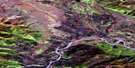
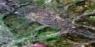
Stewart Crossing Satellite Image Map
Download Free Aerial Photo 115P07 at 1:50,000 scale
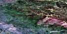
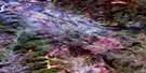
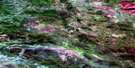
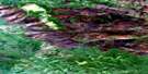
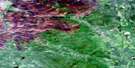
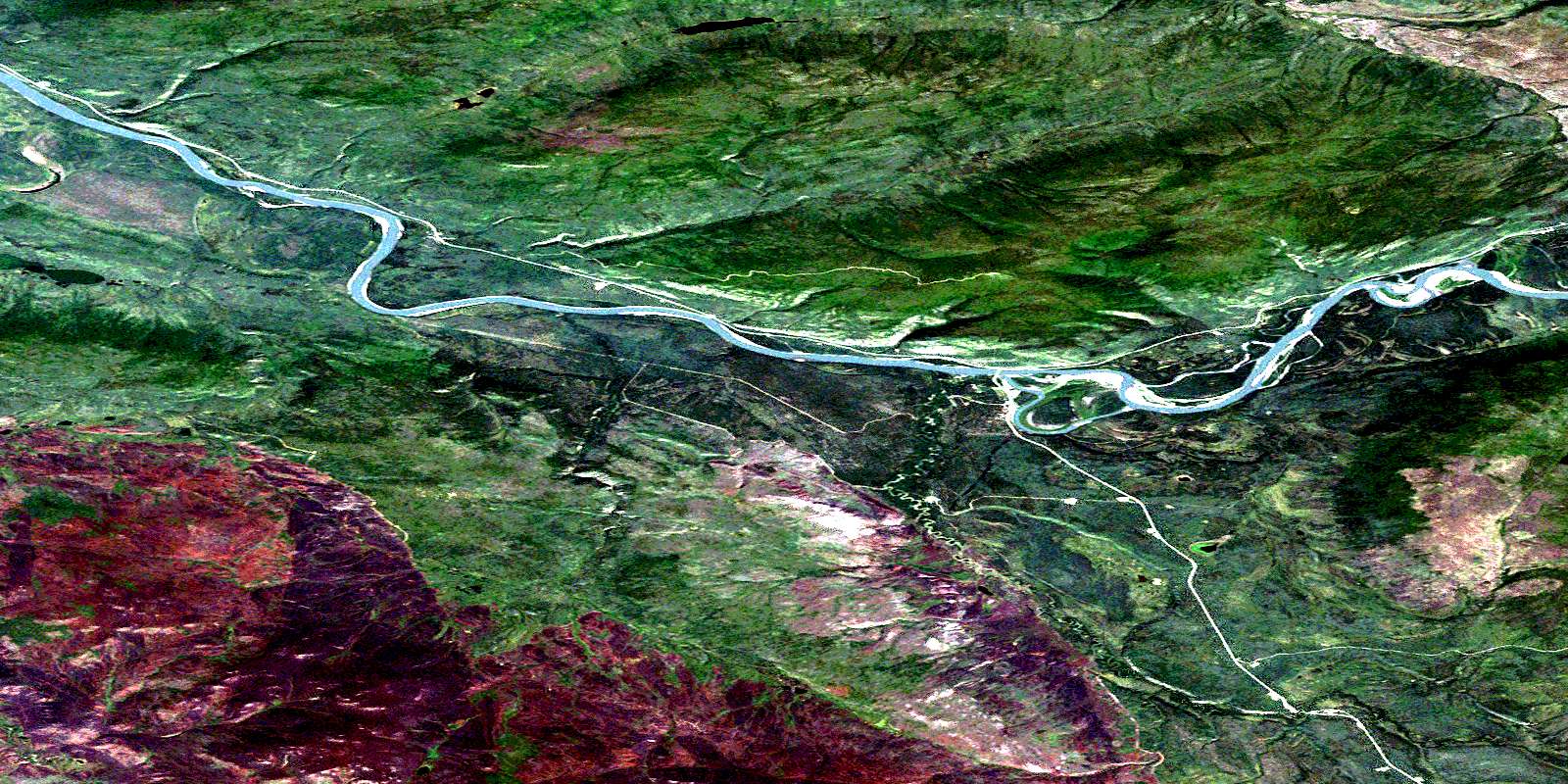
Stewart Crossing Satellite Imagery
To view this satellite map, mouse over the air photo on the right.
You can also download this satellite image map for free:
115P07 Stewart Crossing high-resolution satellite image map.
Maps for the Stewart Crossing aerial map sheet 115P07 at 1:50,000 scale are also available in these versions:
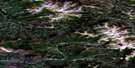
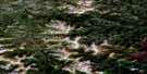
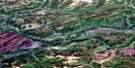
Stewart Crossing Surrounding Area Aerial Photo Maps
 |
 |
 |
 |
 |
 |
 |
 |
 |
 |
 |
 |
 |
 |
 |
 |
© Department of Natural Resources Canada. All rights reserved.
Stewart Crossing Gazetteer
The following places can be found on satellite image map 115P07 Stewart Crossing:
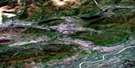
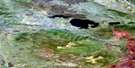
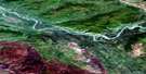
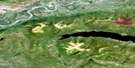
Stewart Crossing Satellite Image: Mountains
Ferry HillTehcho
Willow Hills
Stewart Crossing Satellite Image: Plains
Klondike PlateauStewart Plateau
Yukon Plateau
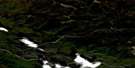
Stewart Crossing Satellite Image: Rivers
Airstrip CreekCrooked Creek
Firestone Creek
Lake Creek
North Crooked Creek
Parallel Creek
Reverse Creek
Stewart River
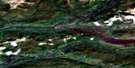
Stewart Crossing Satellite Image: River features
Devils ElbowStewart Crossing Satellite Image: Unincorporated areas
Stewart CrossingStewart Crossing Satellite Image: Valleys
Tintina TrenchTintina Valley
© Department of Natural Resources Canada. All rights reserved.
115P Related Maps:
115P Mcquesten115P01 Crystal Lake
115P02 Willow Lake
115P03 Coldspring Mountain
115P04 Grand Valley Creek
115P05 Pirate Creek
115P06 Reid Lakes
115P07 Stewart Crossing
115P08 Ethel Lake
115P09 Minto Lake
115P10 Moose Creek
115P11 Mcquesten
115P12 Gravel Creek
115P13 Gravel Lake
115P14 Clear Creek
115P15 Sprague Creek
115P16 Seattle Creek
