Ile Bayfield Topo Map Online
Download Free Topo Map Sheet 012O01 at 1:50,000 scale
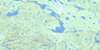
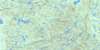
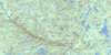
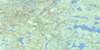
012O01 Ile Bayfield Topo Map
To view this map, mouse over the map preview on the right.
You can also download this topo map for free:
012O01 Ile Bayfield high-resolution topo map image.
Maps for the Ile Bayfield topo map sheet 012O01 at 1:50,000 scale are also available in these versions:
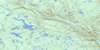
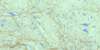
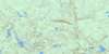
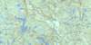
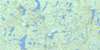
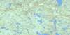
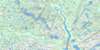
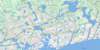
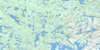
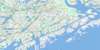
Ile Bayfield Surrounding Area Topo Maps
 |
 |
 |
 |
 |
 |
 |
 |
 |
 |
 |
 |
 |
 |
 |
 |
© Department of Natural Resources Canada. All rights reserved.
Ile Bayfield Gazetteer
The following places can be found on topographic map sheet 012O01 Ile Bayfield:
Ile Bayfield Topo Map: Bays
Anse ClamAnse du Portage
Anse Harry-Jigger
Anse Sand
Baie Lobster
Baie Lobster
Golfe du Saint-Laurent
Havre Augustin
Havre Bayfield
Havre Cumberland
Havre Saint-Augustin
Ile Bayfield Topo Map: Capes
Pointe du Nord-EstPointe Giroux
Pointe Salt
Ile Bayfield Topo Map: Channels
Chenal du CarréPassage de l'Île au Sable
Passe de la Cabine
Passe de la Marée Haute
Passe de l'Île Cumberland
Passe Eastern
Passe Shoal Tickle
Ile Bayfield Topo Map: Cliffs
Falaise RougeIle Bayfield Topo Map: Geographical areas
Archipel-de-KécarpouiArchipel-de-Saint-Augustin
Ile Bayfield Topo Map: Islands
Archipel de Saint-AugustinBarrière de Rochers
Carré Saint-Augustin
Grande île Pidgeon
Île Bayfield
Île Brûlée
Île Bursey
Île Clinch
Île Cumberland
Île de la Grande Passe
Île de l'Anse au Portage
Île de l'Entrée
Île des Barreaux
Île des Genévriers
Île Diver
Île Dog
Île du Duc
Île du Plongeur
Île du Vieux Poste
Île Dufour
Île Fishery
Île Frenchmen
Île Galibois
Île Garden
Île George
Île Gull
Île Kennedy
Île Kent
Île Léandre
Île Léon
Île Lessard
Île Lily
Île Longue
Île Louise
Île Margaret
Île Martin
Île Maurice
Île Outer
Île Paul-Nadeau
Île Pay Ticket
Île Ralph
Île Rose
Île Rouge
Île Rudder
Île Sandy
Île Sandy
Île Shag
Île Viola
Île Walter-Kennedy
Îles aux Oeufs
Îles Bateman
Îles Brunes
Îles du Rat Musqué
Îles Duck
Îles Jalobert
Îles Lavallée
Îles Marsal
Îles Muskrat
Îles Saint-Augustin
Îles Tshiahkunukua
Îles Twin
Îlet Andy
Îlet Black
Îlet Blais
Le Pot
Les Trois Rochers
Petite île Pidgeon
Rocher Andrew
Rocher Ball
Rocher Black
Rocher Clinch
Rocher du Duc
Rocher Kent
Rocher Maynard
Rocher Rose
Rocher Shag
Rocher Shattler
Rochers Seal
Ile Bayfield Topo Map: Lakes
Lac SaléIle Bayfield Topo Map: Conservation areas
Refuge d'oiseaux de Saint-AugustinSaint-Augustin Bird Sanctuary
Ile Bayfield Topo Map: River features
Rapides FrankIle Bayfield Topo Map: Shoals
Banc du Chenal du CarréCrab Rock
Le Crab Rock
Ile Bayfield Topo Map: Unincorporated areas
Anse-du-PortageHavre-Bayfield
L'Anse-du-Portage
Ile Bayfield Topo Map: Villages
Saint-Augustin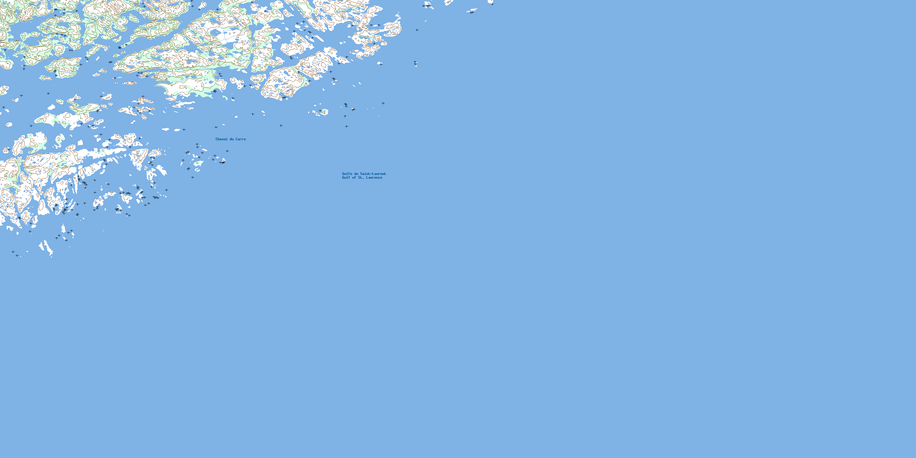
© Department of Natural Resources Canada. All rights reserved.
012O Related Maps:
012O Saint-Augustin012O01 Ile Bayfield
012O02 St-Augustin-Saguenay
012O03 Lac Robertson
012O04 Lac Bernadette
012O05 Lac Verton
012O06 Lac Ferru
012O07 Lac Noyrot
012O08 Shekatika
012O09 Lac Tooker
012O10 Lac L'Ile Au Castor
012O11 Riviere A Saumon
012O12 Lac De Vitre
012O13 Lac Chenil
012O14 Lac Aticonipi
012O15 Lac Mery
012O16 Lac Gallet
