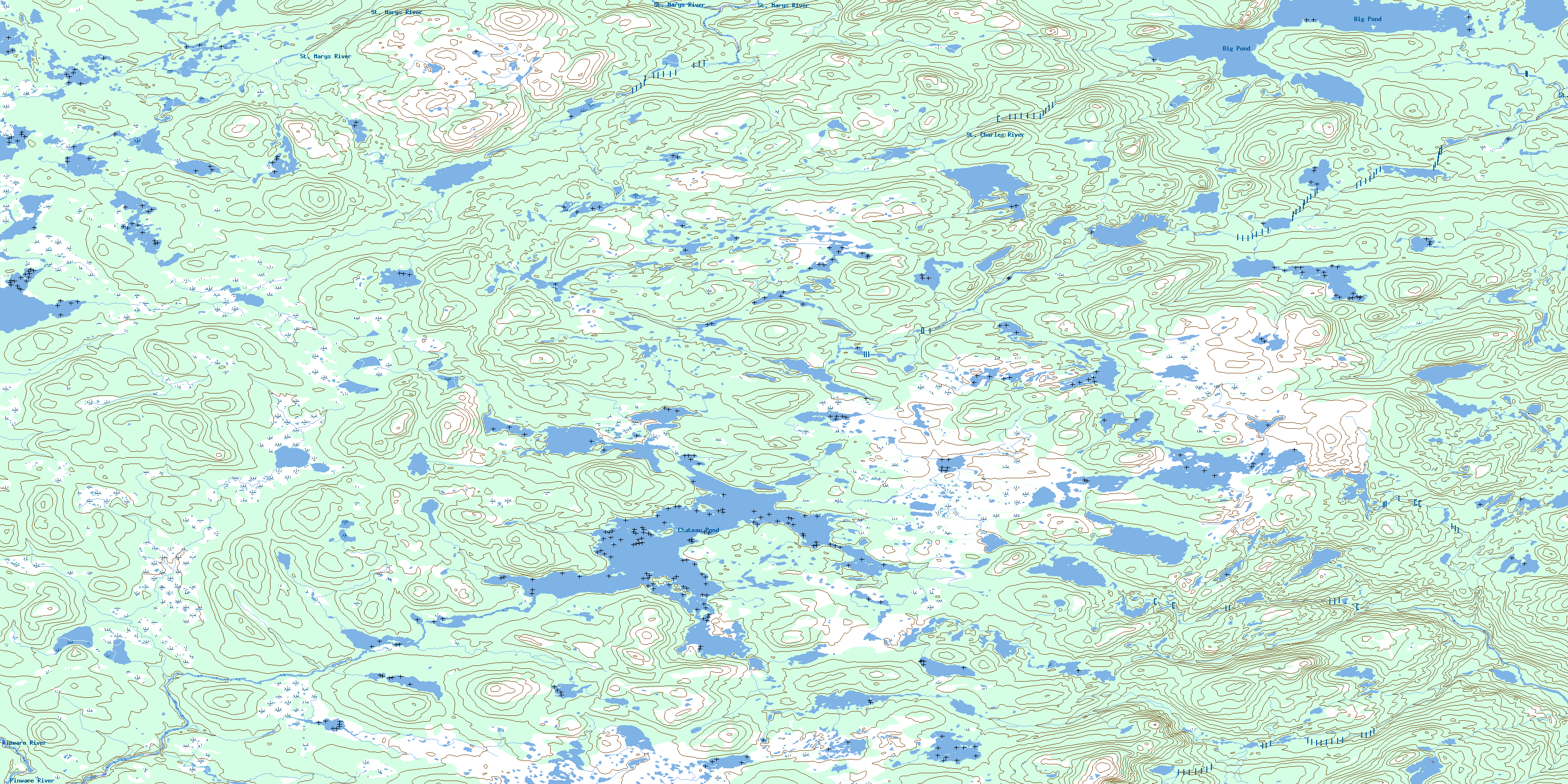
Chateau Pond Topo Map Online
Download Free Topo Map Sheet 013A01 at 1:50,000 scale
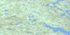
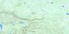
013A01 Chateau Pond Topo Map
To view this map, mouse over the map preview on the right.
You can also download this topo map for free:
013A01 Chateau Pond high-resolution topo map image.
Maps for the Chateau Pond topo map sheet 013A01 at 1:50,000 scale are also available in these versions:
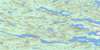
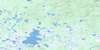
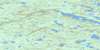
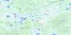
Chateau Pond Surrounding Area Topo Maps
 |
 |
 |
 |
 |
 |
 |
 |
 |
 |
 |
 |
 |
 |
 |
 |
© Department of Natural Resources Canada. All rights reserved.
Chateau Pond Gazetteer
The following places can be found on topographic map sheet 013A01 Chateau Pond:
Chateau Pond Topo Map: Lakes
Big PondChateau Pond
Northern Fifth Pond
Northern First Pond
Northern Fourth Pond
Northern Ponds
Northern Second Pond
Northern Third Pond
Pea Soup Pond
Pond in the Hole
Pulley Pond
Rubber Tire Pond
Southern Fifth Pond
Chateau Pond Topo Map: Mountains
Sugar LoafChateau Pond Topo Map: Rivers
Pinware RiverSt. Charles River
St. Marys River
Temple Brook
© Department of Natural Resources Canada. All rights reserved.
013A Related Maps:
013A Battle Harbour013A01 Chateau Pond
013A02 No Title
013A03 No Title
013A04 No Title
013A05 No Title
013A06 No Title
013A07 No Title
013A08 St Lewis Inlet
013A09 Port Hope Simpson
013A10 No Title
013A11 No Title
013A12 No Title
013A13 No Title
013A14 No Title
013A15 Jeffries Pond
013A16 White Bear Arm
