White Bear Arm Topo Map Online
Download Free Topo Map Sheet 013A16 at 1:50,000 scale
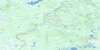
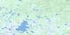
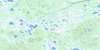
013A16 White Bear Arm Topo Map
To view this map, mouse over the map preview on the right.
You can also download this topo map for free:
013A16 White Bear Arm high-resolution topo map image.
Maps for the White Bear Arm topo map sheet 013A16 at 1:50,000 scale are also available in these versions:
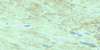
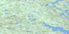
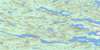
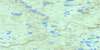
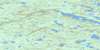
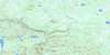
White Bear Arm Surrounding Area Topo Maps
 |
 |
 |
 |
 |
 |
 |
 |
 |
 |
 |
 |
 |
 |
 |
 |
© Department of Natural Resources Canada. All rights reserved.
White Bear Arm Gazetteer
The following places can be found on topographic map sheet 013A16 White Bear Arm:
White Bear Arm Topo Map: Bays
Burn CoveCampbells Cove
Hawke Bay
Kellys Cove
Little Brook Cove
Old Man's Cove
Round Harbour
Southern Backwater
St. Michaels Bay
White Bear Arm
Willies Cove
White Bear Arm Topo Map: Capes
Burnt PointFox Point
Long ShoalsPoint
Partridge Mountain Point
Porcupine Head
Salt Pond Point
Seal Point
Willies Cove Point
White Bear Arm Topo Map: Channels
Captain Jack's TickleWhite Bear Arm Topo Map: Islands
Burn IslandGoose Island
Horn Island
Juniper Island
Little Brook Island
Little Burnt Island
Little Juniper Island
Old Mans Island
Old Man's Island
Smokey Island
White Bear Arm Topo Map: Lakes
Bare Hill PondBig Burnt Pond
Big Feeder Pond
Big North Lake
Big Southeast Pond
Brazells Pond
Burn Pond
Cape Bluff Pond
Clarences Pond
Condon Pond
Couchys Pond
Daddys Deer Pond
Dory Lake
Garden Pond
Goose Lake
Grandfathers Pond
Gull Lake
Hook Hill Pond
Inner Beaver Lake
Jessies Lake
John Martins Pond
Little Burnt Pond
Little Feeder Pond
Little Gull Lake
Loon Lake
Middle Lake
Middle Pond
Mile Pond
Old Tilt Lake
Parsons Pond
Pearl Lake
Peters Pond
Prowses Ponds
Rocky Island Pond
Rocky Pond
Rolands Pond
Round Harbour Pond
Round Island Lake
Salt Pond
Seven Mile Pond
Southeast Pond
Southeast Pond
Spare Pond
Three Mile Pond
Wester Tilt Lake
White Fox Pond
White Hills Lake
White Bear Arm Topo Map: Mountains
Bare HillCoopers White Hill
Coopers White Hills
Goose Island Hill
Hook Hill
St. Michaels White Hills
Tommys Mountain
White Bear Arm Topo Map: Rivers
Alex Campbells BrookGilbert River
Hawke River
Northwest Feeder
Peters Brook
Peters Brook
Southwest Feeder
Toms Brook
Wester Brook
Western Feeder
White Bear Arm Topo Map: Shoals
DuckRocksWhite Bear Arm Topo Map: Towns
Charlottetown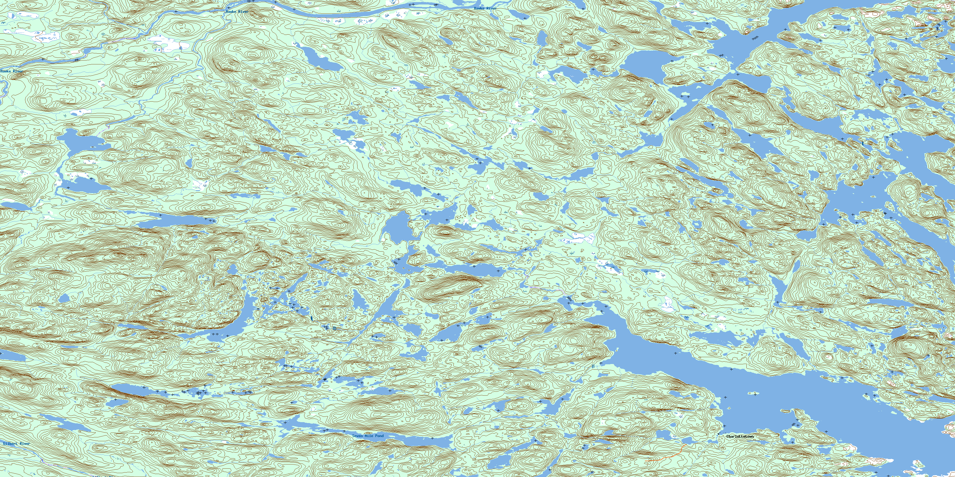
© Department of Natural Resources Canada. All rights reserved.
013A Related Maps:
013A Battle Harbour013A01 Chateau Pond
013A02 No Title
013A03 No Title
013A04 No Title
013A05 No Title
013A06 No Title
013A07 No Title
013A08 St Lewis Inlet
013A09 Port Hope Simpson
013A10 No Title
013A11 No Title
013A12 No Title
013A13 No Title
013A14 No Title
013A15 Jeffries Pond
013A16 White Bear Arm
