Cape Harrison Topo Map Online
Download Free Topo Map Sheet 013I13 at 1:50,000 scale
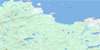
013I13 Cape Harrison Topo Map
To view this map, mouse over the map preview on the right.
You can also download this topo map for free:
013I13 Cape Harrison high-resolution topo map image.
Maps for the Cape Harrison topo map sheet 013I13 at 1:50,000 scale are also available in these versions:
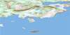
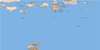
Cape Harrison Surrounding Area Topo Maps
 |
|||
 |
 |
||
 |
 |
 |
|
 |
 |
© Department of Natural Resources Canada. All rights reserved.
Cape Harrison Gazetteer
The following places can be found on topographic map sheet 013I13 Cape Harrison:
Cape Harrison Topo Map: Bays
Jeanette BayLord Arm
Sloop Cove
Cape Harrison Topo Map: Capes
Cape HarrisonFalse Cape
White Head
Cape Harrison Topo Map: Islands
Bear IslandTinker Island
Cape Harrison Topo Map: Mountains
Table HillUivaluk Peak
Cape Harrison Topo Map: Seas
Labrador SeaMer du Labrador
Cape Harrison Topo Map: Shoals
Seal Rocks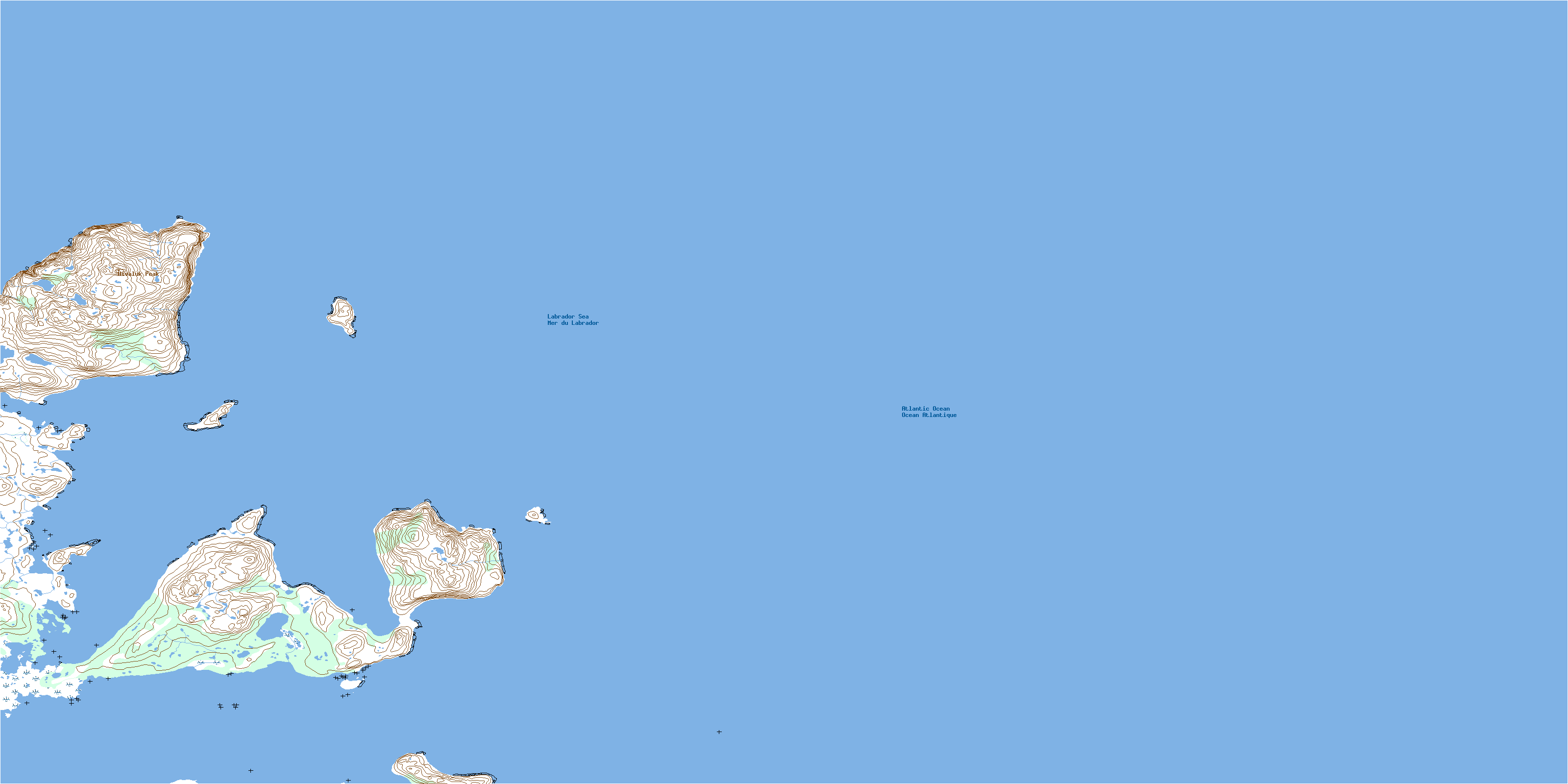
© Department of Natural Resources Canada. All rights reserved.
013I Related Maps:
013I Groswater Bay013I03E West Bay
013I03W West Bay
013I04E Tinker Harbour
013I04W Tinker Harbour
013I05E Pottles Bay
013I05W Pottles Bay
013I06E Indian Harbour
013I06W Indian Harbour
013I07W White Bear Island
013I11E Holton Harbour
013I11W Holton Harbour
013I12E Byron Bay
013I12W Byron Bay
013I13W Cape Harrison
