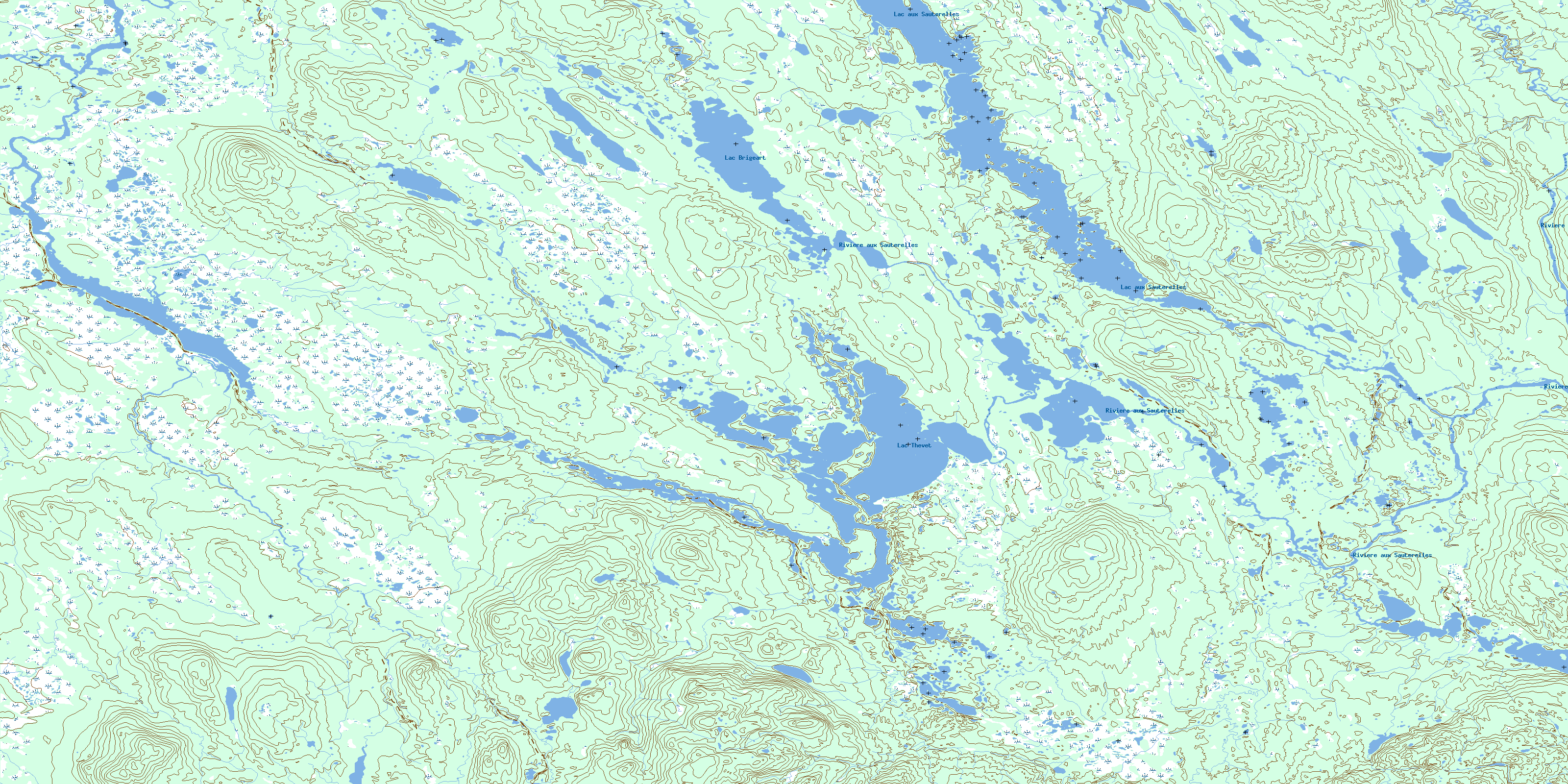
Lac Thevet Topo Map Online
Download Free Topo Map Sheet 022P16 at 1:50,000 scale
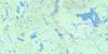
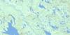
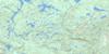
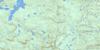
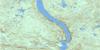
022P16 Lac Thevet Topo Map
To view this map, mouse over the map preview on the right.
You can also download this topo map for free:
022P16 Lac Thevet high-resolution topo map image.
Maps for the Lac Thevet topo map sheet 022P16 at 1:50,000 scale are also available in these versions:
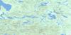
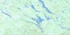
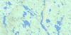
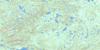
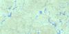
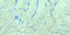
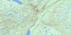
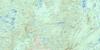
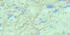
Lac Thevet Surrounding Area Topo Maps
 |
 |
 |
 |
 |
 |
 |
 |
 |
 |
 |
 |
 |
 |
 |
 |
© Department of Natural Resources Canada. All rights reserved.
Lac Thevet Gazetteer
The following places can be found on topographic map sheet 022P16 Lac Thevet:
Lac Thevet Topo Map: Lakes
Lac aux SauterellesLac Brigeart
Lac Thévet
Lac Utukuaihek
Lac Utukuaiheku
Lac Thevet Topo Map: Rivers
Rivière aux SauterellesRivière Kokumesh
© Department of Natural Resources Canada. All rights reserved.
022P Related Maps:
022P Lac Fournier022P01 Riviere Poisset
022P02 Riviere Baune
022P03 Lac A L'Aigle
022P04 Lac Canatiche
022P05 Lac Dufresne
022P06 Lac Vital
022P07 Lac Catignan
022P08 Lac Verrier
022P09 Lac Bellanca
022P10 Lacs Belmont
022P11 Lac Fournier
022P12 Lac Wacouno
022P13 Lac Eric
022P14 Lac Fleur-De-May
022P15 Domagaya Lake
022P16 Lac Thevet
