Baikie Lake Topo Map Online
Download Free Topo Map Sheet 023H07 at 1:50,000 scale
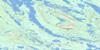
023H07 Baikie Lake Topo Map
To view this map, mouse over the map preview on the right.
You can also download this topo map for free:
023H07 Baikie Lake high-resolution topo map image.
Maps for the Baikie Lake topo map sheet 023H07 at 1:50,000 scale are also available in these versions:
Baikie Lake Surrounding Area Topo Maps
 |
 |
 |
 |
 |
 |
 |
 |
 |
 |
 |
 |
 |
 |
 |
 |
© Department of Natural Resources Canada. All rights reserved.
Baikie Lake Gazetteer
The following places can be found on topographic map sheet 023H07 Baikie Lake:
Baikie Lake Topo Map: Bays
Geiger BayBaikie Lake Topo Map: Falls
Scott FallsBaikie Lake Topo Map: Lakes
Baikie LakeOssokmanuan Lake
Ossokmanuan Reservoir
Baikie Lake Topo Map: Rivers
BonnellCreekJulian River
Unknown River
Baikie Lake Topo Map: Unincorporated areas
Twin Falls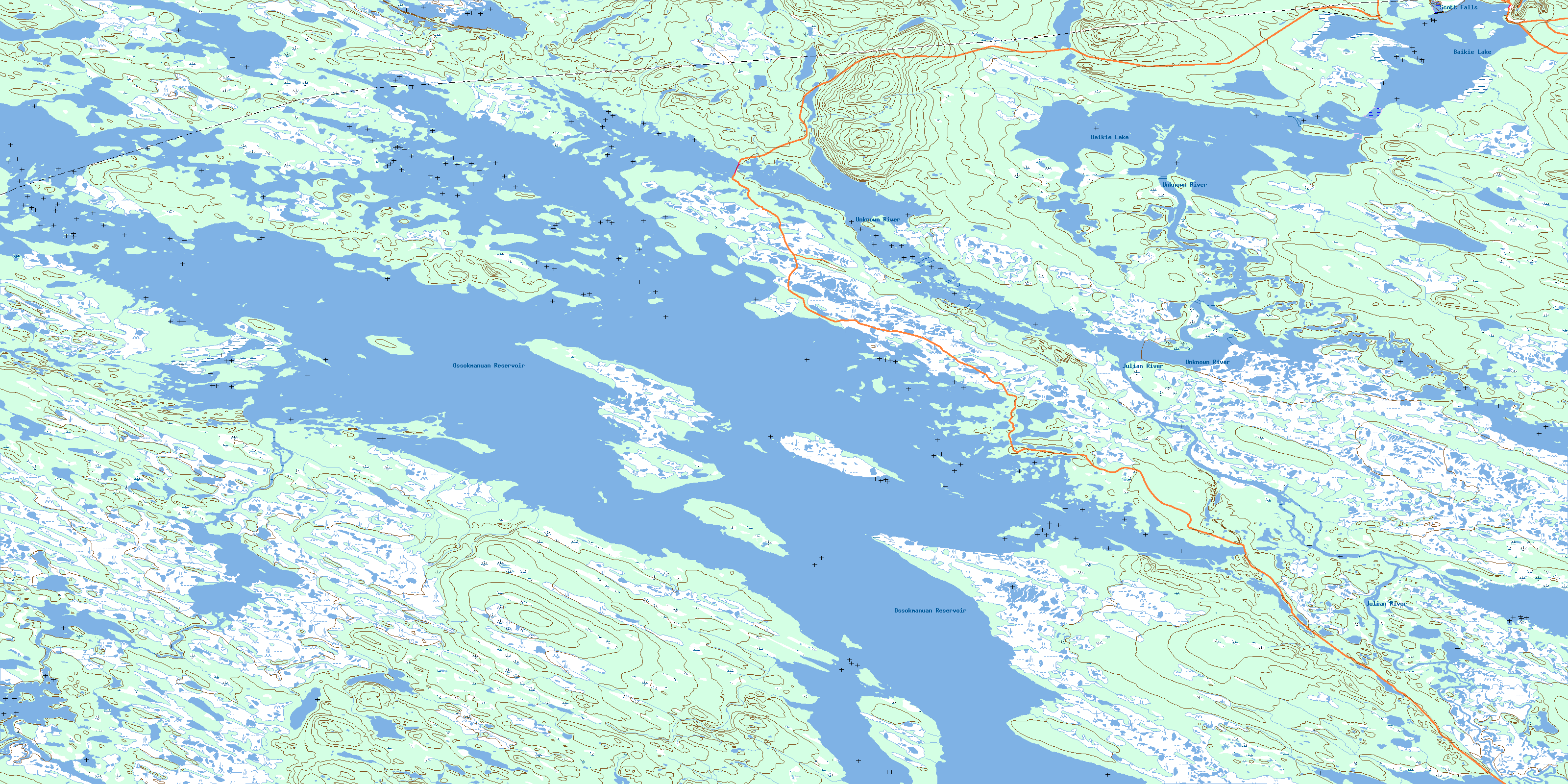
© Department of Natural Resources Canada. All rights reserved.
023H Related Maps:
023H Ossokmanuan Reservoir023H01 Chaulk Lake
023H02 Panchia Lake
023H03 Riviere Aux Poissons
023H04 No Title
023H05 Cissy Lake
023H06 Ossok Mountain
023H07 Baikie Lake
023H08 No Title
023H09 Churchill Falls
023H10 Raft River
023H11 Way Bay
023H12 Colville Lake
023H13 Sims Lake
023H14 Sandgrit Peak
023H15 No Title
023H16 Hook Bay
