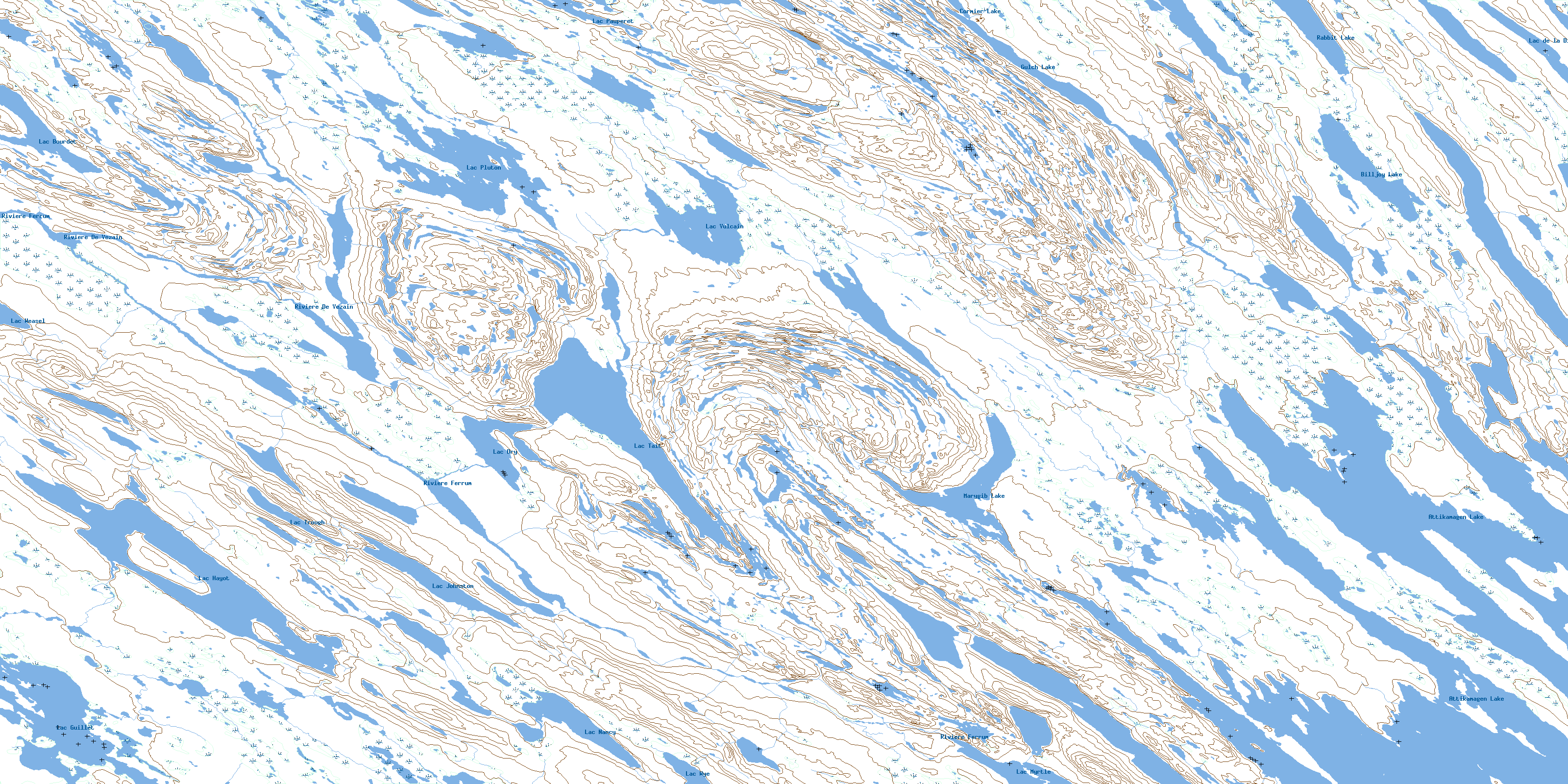
Lac Tait Topo Map Online
Download Free Topo Map Sheet 023O02 at 1:50,000 scale
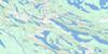
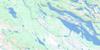
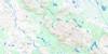
023O02 Lac Tait Topo Map
To view this map, mouse over the map preview on the right.
You can also download this topo map for free:
023O02 Lac Tait high-resolution topo map image.
Maps for the Lac Tait topo map sheet 023O02 at 1:50,000 scale are also available in these versions:
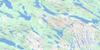
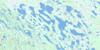
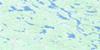
Lac Tait Surrounding Area Topo Maps
 |
 |
 |
 |
 |
 |
 |
 |
 |
 |
 |
 |
 |
 |
 |
 |
© Department of Natural Resources Canada. All rights reserved.
Lac Tait Gazetteer
The following places can be found on topographic map sheet 023O02 Lac Tait:
Lac Tait Topo Map: Bays
Contact BayLava Bay
Lac Tait Topo Map: Lakes
Attikamagen LakeBilljoy Lake
Cormier Lake
Diorite Lake
Gulch Lake
Lac Bourdet
Lac de la Diorite
Lac Deschabert
Lac Dry
Lac Grouvel
Lac Guillet
Lac Hayot
Lac Island
Lac Johnston
Lac Myrtle
Lac Nancy
Lac Natagabow
Lac Natogabow
Lac Pauperet
Lac Pivin
Lac Ploughed
Lac Pluton
Lac Ponsard
Lac Rousselière
Lac Tait
Lac Trough
Lac Twisted
Lac Vulcain
Lac Weasel
Lac Wye
Marygib Lake
Rabbit Lake
Lac Tait Topo Map: Rivers
Rivière De VezainRivière Ferrum
Lac Tait Topo Map: Villages
KawawachikamachSchefferville
© Department of Natural Resources Canada. All rights reserved.
023O Related Maps:
023O Lac Wakuach023O01E Lac Willbob
023O01W Lac Willbob
023O02E Lac Tait
023O02W Lac Tait
023O03E Lac De La Frontiere
023O03W Lac De La Frontiere
023O04E Lac Pailleraut
023O04W Lac Pailleraut
023O05 Lac Helluva
023O06 Lac Le Fer
023O07 Lac Bacchus
023O08 Lac Thompson
023O09 Lac Rivet
023O10 Lac Ahr
023O11 Lac Musset
023O12 Lac Wakuach
023O13 Lac Ribero
023O14 Collines Corrugated
023O15 Lac Vannes
023O16 Lac Gitton
