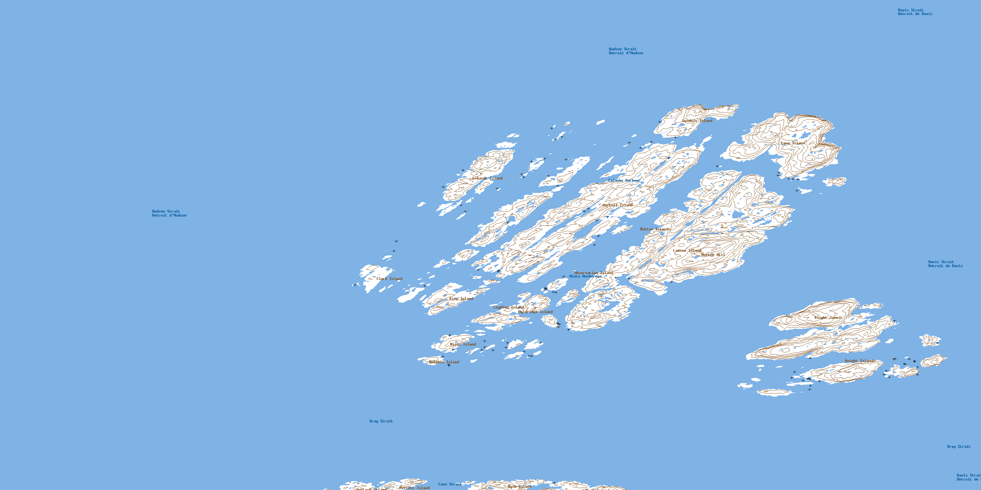
Button Islands Topo Map Online
Download Free Topo Map Sheet 025A10 at 1:50,000 scale
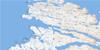
025A10 Button Islands Topo Map
To view this map, mouse over the map preview on the right.
You can also download this topo map for free:
025A10 Button Islands high-resolution topo map image.
Maps for the Button Islands topo map sheet 025A10 at 1:50,000 scale are also available in these versions:
Button Islands Surrounding Area Topo Maps
 |
|||
 |
 |
||
 |
 |
 |
© Department of Natural Resources Canada. All rights reserved.
Button Islands Gazetteer
The following places can be found on topographic map sheet 025A10 Button Islands:
Button Islands Topo Map: Bays
Calanus HarbourMinto Anchorage
Qarmaaluk Bay
Button Islands Topo Map: Capes
Ellen HeadButton Islands Topo Map: Channels
Détroit d'HudsonGray Strait
Hudson Strait
Itiriaq Channel
Lenz Strait
Button Islands Topo Map: Islands
Avingasittuit Siqinirsipangat IslandBush Island
Button Islands
Clark Island
Dolphin Island
Erhardt Island
Flat Island
Goodwin Island
Hettash Island
Holdridge Island
King Island
Knight Islands
Lacy Island
Lawson Island
Leading Island
MacColl Island
Niels Island
Observation Island
Perrett Island
Usuk Islands
Button Islands Topo Map: Mountains
Button HillKnight Summit
© Department of Natural Resources Canada. All rights reserved.
