Colline Umiujaq Topo Map Online
Download Free Topo Map Sheet 034C09 at 1:50,000 scale
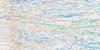
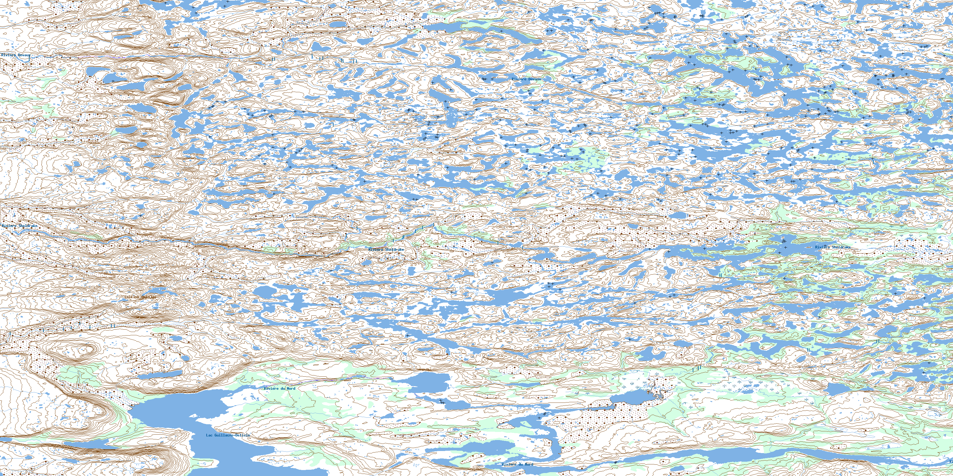
034C09 Colline Umiujaq Topo Map
To view this map, mouse over the map preview on the right.
You can also download this topo map for free:
034C09 Colline Umiujaq high-resolution topo map image.
Maps for the Colline Umiujaq topo map sheet 034C09 at 1:50,000 scale are also available in these versions:
Colline Umiujaq Surrounding Area Topo Maps
 |
 |
||
 |
 |
||
 |
 |
||
 |
 |
© Department of Natural Resources Canada. All rights reserved.
Colline Umiujaq Gazetteer
The following places can be found on topographic map sheet 034C09 Colline Umiujaq:
Colline Umiujaq Topo Map: Lakes
Lac Guillaume-DelisleLac Kaaupaaskwaayaaw
Lac Misinamapi
Richmond Gulf
Colline Umiujaq Topo Map: Mountains
Colline UmiujaqColline Umiujaq Topo Map: Plains
Plateau UmiarjuaqColline Umiujaq Topo Map: Rivers
Rivière DevauxRivière du Nord
Rivière Sheldrake
Rivière Umiujaq
© Department of Natural Resources Canada. All rights reserved.
